About this place
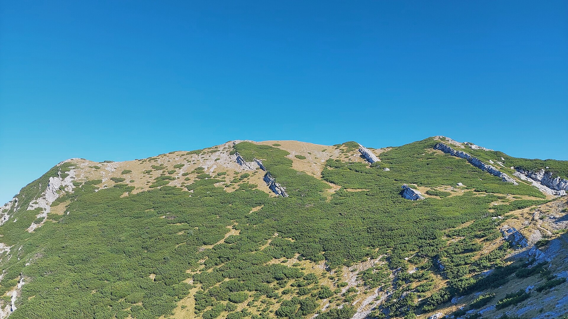
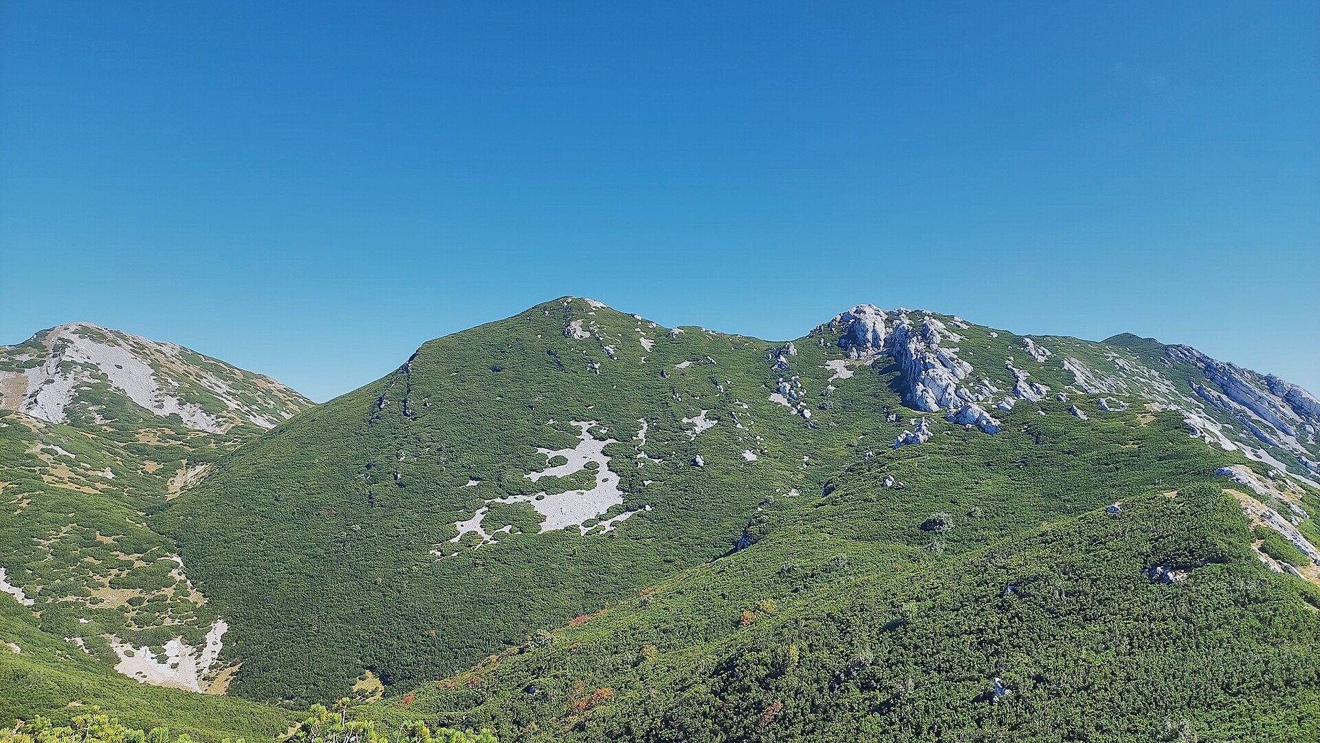
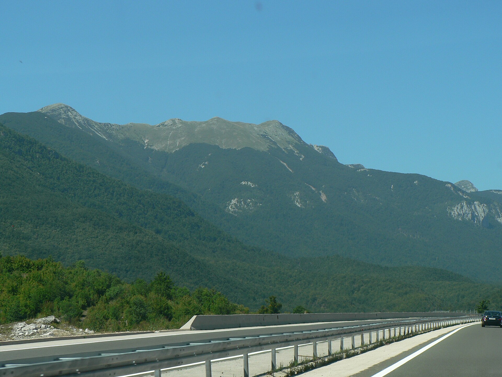
Zir is a solitary peak near the village of Kik, in the Lovinac municipality, Lika-Senj County, Croatia. Rising to 850 metres above sea level in the middle of the flat, wide Lika field, it stands out for miles around — travellers driving toward the coast on the Zagreb–Split motorway or passing on the railway line see it without ever learning its name.
Where is Zir and how do you get there?
Zir belongs to the Lika mid-mountains, a chain of hills running parallel to the much larger Velebit range. The marked trail to the summit starts from the road near the small hamlet of Trkulje. The village of Kik itself, home to only a handful of households, lies about 2.5 km east of the summit.
What is the climb like?
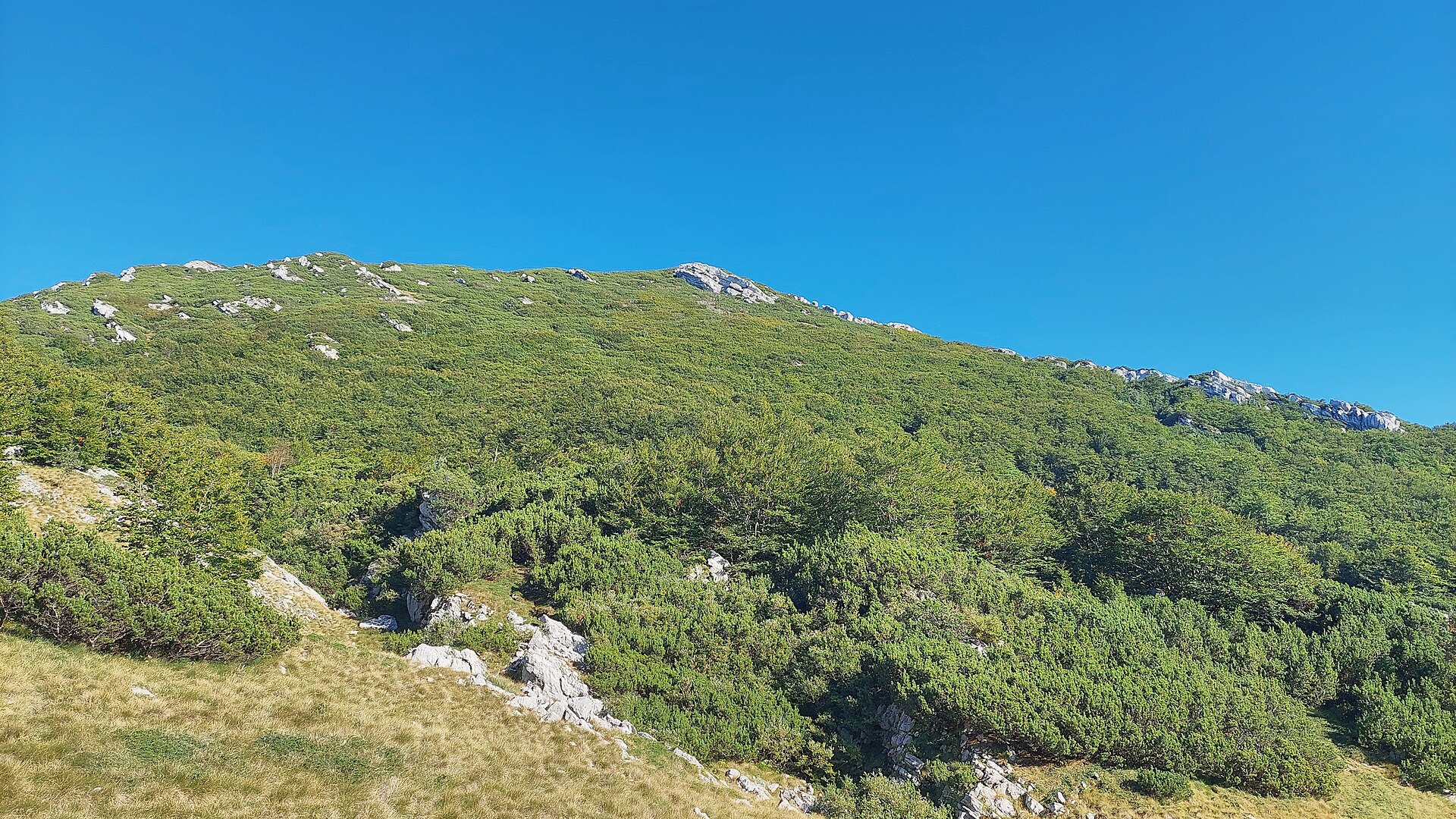
The route to the top is roughly 3 km long and takes about an hour one way. It is short but demanding: on the rockier sections, cables have been fitted to help hikers up the steep, stony ground. The mountain is built of limestone — a former seabed — so the whole massif is riddled with karst features. Inside it lies a cave about 350 metres long that holds an underground lake.
What will you see from the top?
Because Zir stands alone rather than being part of a ridge, the summit offers one of the most striking views of the Velebit range along almost its entire length. That panorama is the main reason local hikers keep coming back, despite the peak's modest height.
What is the history behind it?
Local tradition holds that Zir once served as a lookout post during the Ottoman incursions. Sitting isolated in the middle of the Lika field, it was an ideal spot for watching over the surrounding country and the important trade route linking Udbina, Ploča, Mogorić and Ribnik. Sentries on the summit could track movement along the route and warn nearby villages of approaching danger.
When is the best time to visit?
Because parts of the trail are rocky and exposed, spring, early summer and autumn are the most comfortable seasons — temperatures are mild and the rock isn't baking hot or slick from rain. In summer, an early start is worth it to avoid climbing the largely unshaded approach during the hottest hours.
Frequently asked questions
How long does it take to climb Zir? The ascent takes roughly an hour, and the trail is about 3 km long.
Is the trail difficult? It's short but steep in places; the rockiest sections are fitted with cables, which makes them manageable even for less experienced hikers.
What's inside the mountain? Zir contains a roughly 350-metre-long cave with an underground lake, formed in its limestone, karst rock.
Where does the trail start, and how do you reach the Kik area? The trail begins on the road near the hamlet of Trkulje. The village of Kik itself lies about 2.5 km east of the summit, within the Lovinac municipality.
Nearby places

Earn badges for the places you visit
Download NextOnTrip, discover new places and check off your trails.