About this place
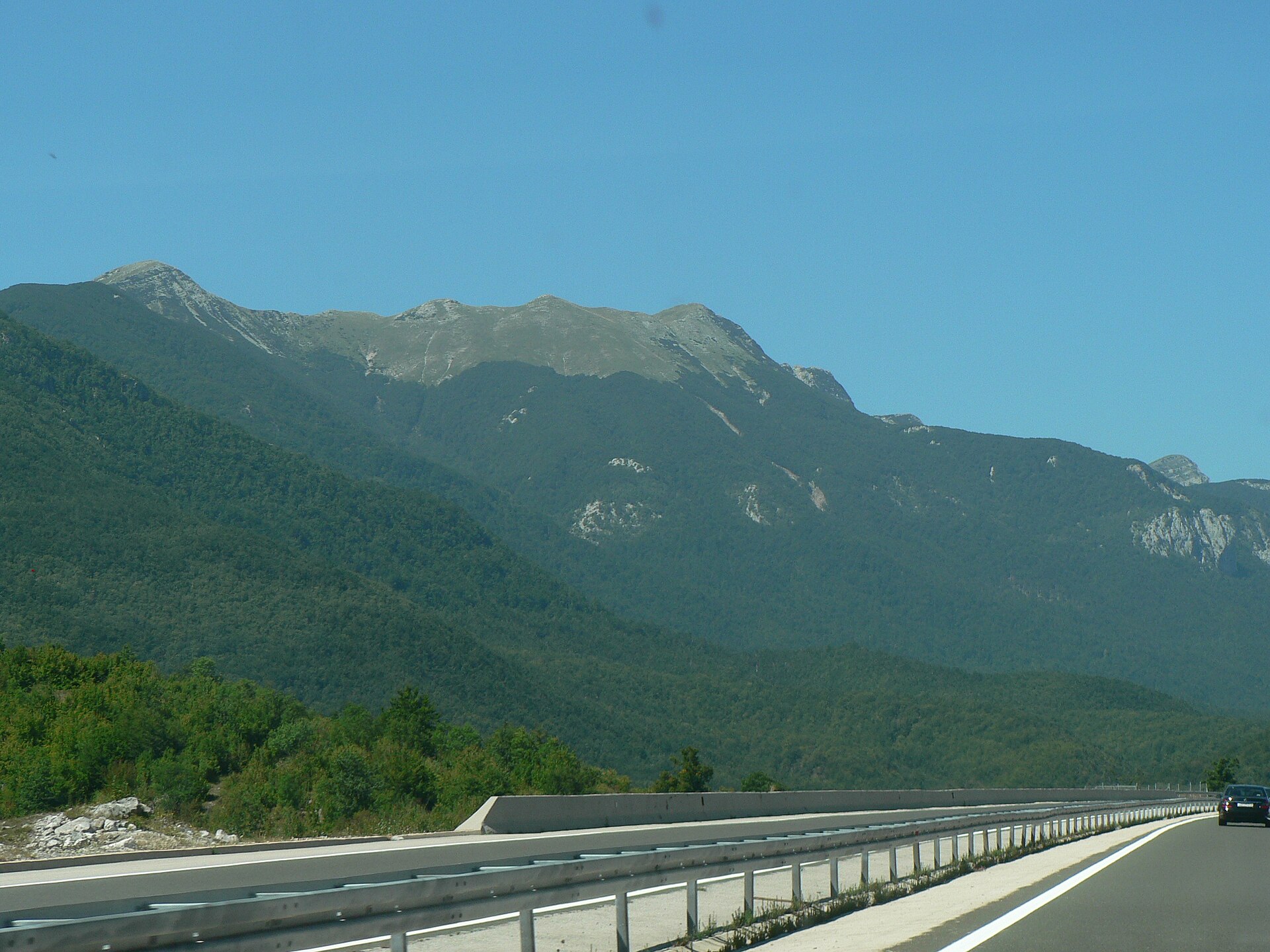
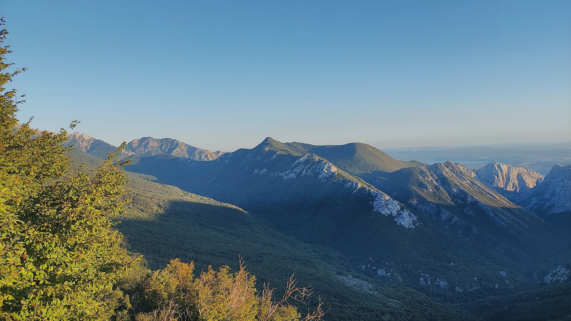
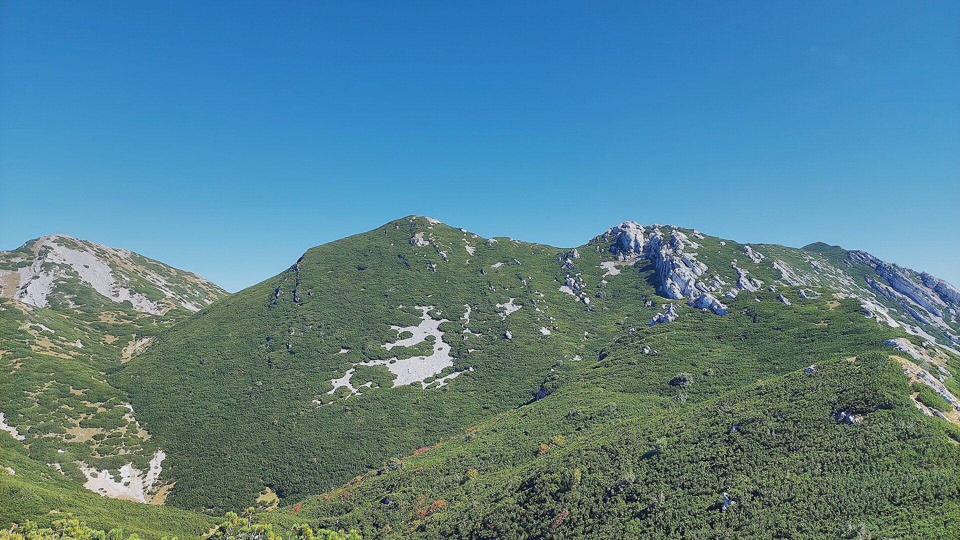
Vlaški Grad is a rocky summit towering over the Mala Paklenica canyon, one of the most striking viewpoints inside Paklenica National Park, rising in the Velebit mountain range close to the seaside village of Seline.
Where is it and how do you get there?
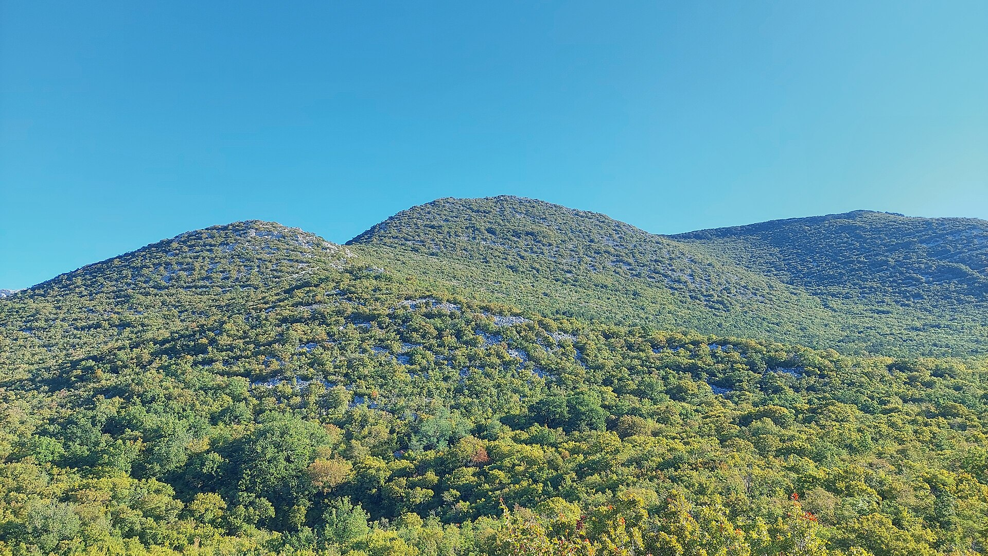
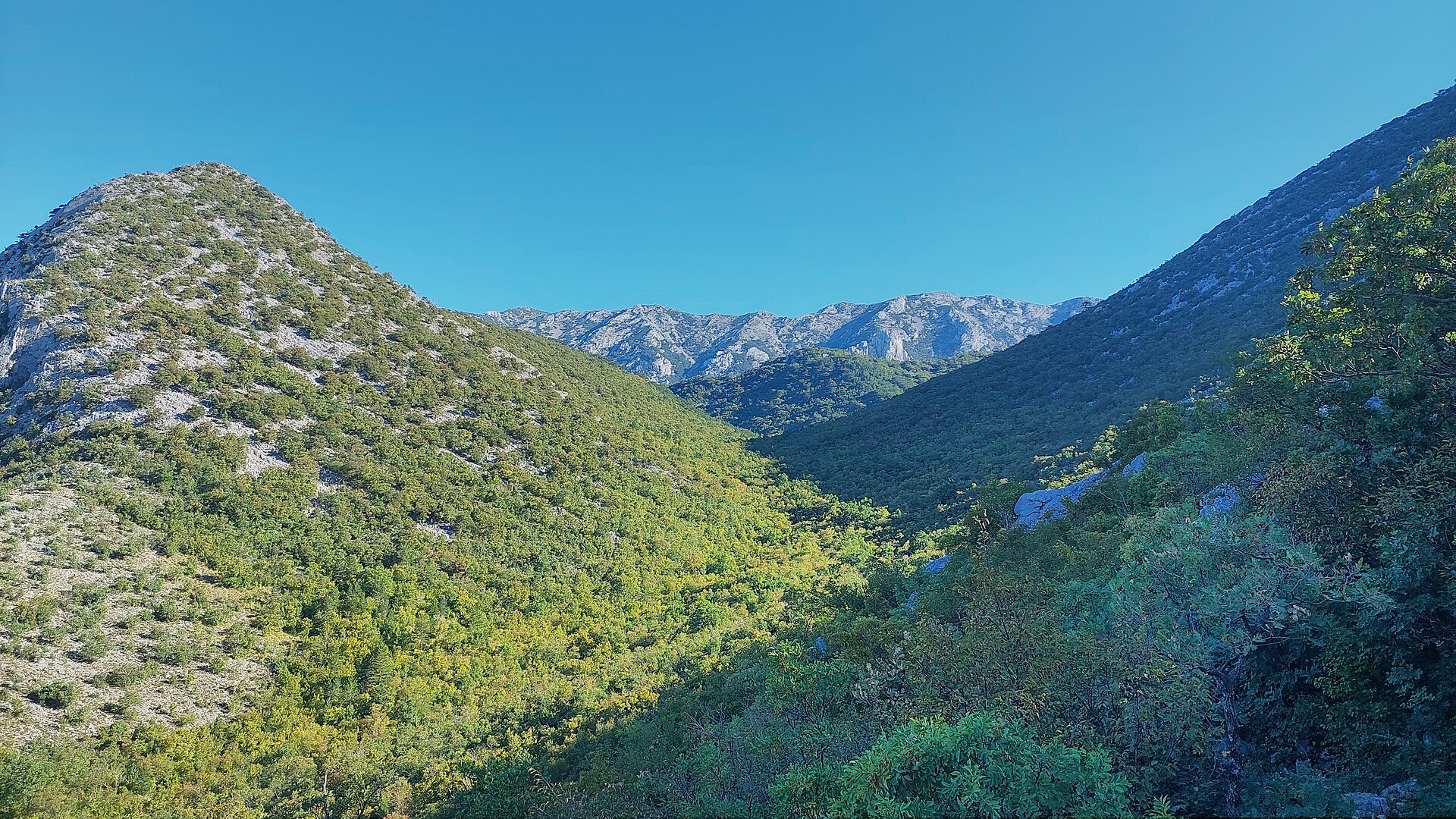
The peak reaches an elevation of roughly 1,375–1,383 m, with steep slopes falling away on every side. Its rocky summit dome pokes out above the tree line, so Vlaški Grad is visible from a distance long before you reach the top. The approach trail cuts through the Mala Paklenica canyon, climbing and descending three times and shedding much of the hard-won elevation gain before finally reaching the Vlaški Grad mountain shelter. Seline, the most convenient base for heading into the park, sits about 8 km southwest of the peak on the Adriatic coast, within the Starigrad municipality in Zadar County.
What will you see along the way?
At around 1,280 m you'll find the stone-built Vlaški Grad mountain shelter, constructed by members of the HPD Paklenica mountaineering society. It's a small, single-room hut with a wooden loft that can sleep about 12 people. A real advantage of the spot is the drinking-water cistern right next to the shelter — a welcome feature on a high-mountain route where water is otherwise scarce. From the shelter the trail turns sharply uphill, partly across scree and switchbacks, until it joins the ridge path behind the Obla Glava rise on the southern side of Dolci. After roughly 200 meters of relatively flat ground, the trail throws in one last, very steep push to the summit.
When should you go, and how long does it take?
The route to Vlaški Grad is considered demanding, taking an average of about 6 hours and 34 minutes to complete from the lower reaches of Paklenica. The final stretch from the shelter to the summit is steep and technical, so it's best tackled in the snow-free months, from late spring through early autumn, when ridge conditions are safest. From the shelter it's roughly 4 hours down to the main Planinarski Dom lodge in the valley, and about an hour to the Ivine Vodice shelter, which makes it easy to split the hike into stages.
What do you see from the top?
The reward for the climb is a sweeping panorama stretching toward the Adriatic Sea and deep into the Paklenica canyons. It's one of the most photogenic viewpoints in the entire national park, pairing the steep limestone canyon walls with the blue of the sea on the horizon.
Frequently asked questions
How high is Vlaški Grad? The summit reaches roughly 1,375–1,383 m, making it one of the most recognizable landmarks in Paklenica National Park.
Can you stay overnight on the way to the summit? Yes — at around 1,280 m there's the Vlaški Grad mountain shelter, with room for about 12 people and a nearby drinking-water cistern.
How long does the climb to the summit take? The full route is demanding and takes an average of about 6 hours and 34 minutes.
How far is Seline from Vlaški Grad? Seline lies about 8 km southwest of the peak, making it a convenient base for exploring Paklenica National Park.
Nearby places

Earn badges for the places you visit
Download NextOnTrip, discover new places and check off your trails.