About this place
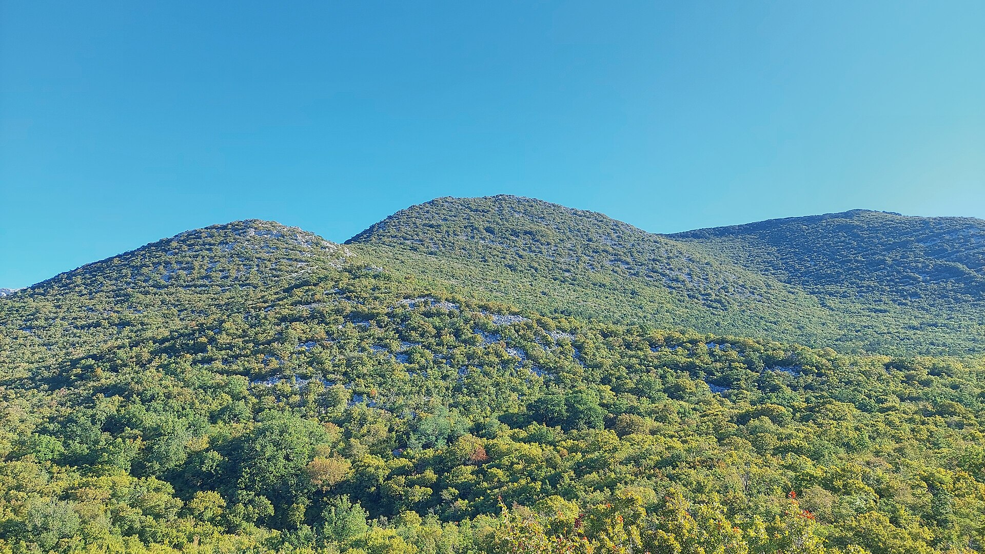
Borovnik is a compact rocky ridge in the heart of Paklenica National Park, rising above Seline on Croatia's Adriatic coast at the western edge of the Velebit mountains.
Where exactly is Borovnik?
Borovnik sits in the central part of Paklenica National Park, within the Velebit range, a few kilometres inland from the coastal town of Seline (Starigrad-Paklenica municipality). It's part of the same corner of the park as previously covered peaks — Veliki kuk, Kuk od Rujice, and Veliki mozak. The point sits at coordinates 44.328934, 15.4935839, reaching an elevation of roughly 1020 m and sitting right next to the group's highest point, Crni vrh (1110 m).
What will you see there?
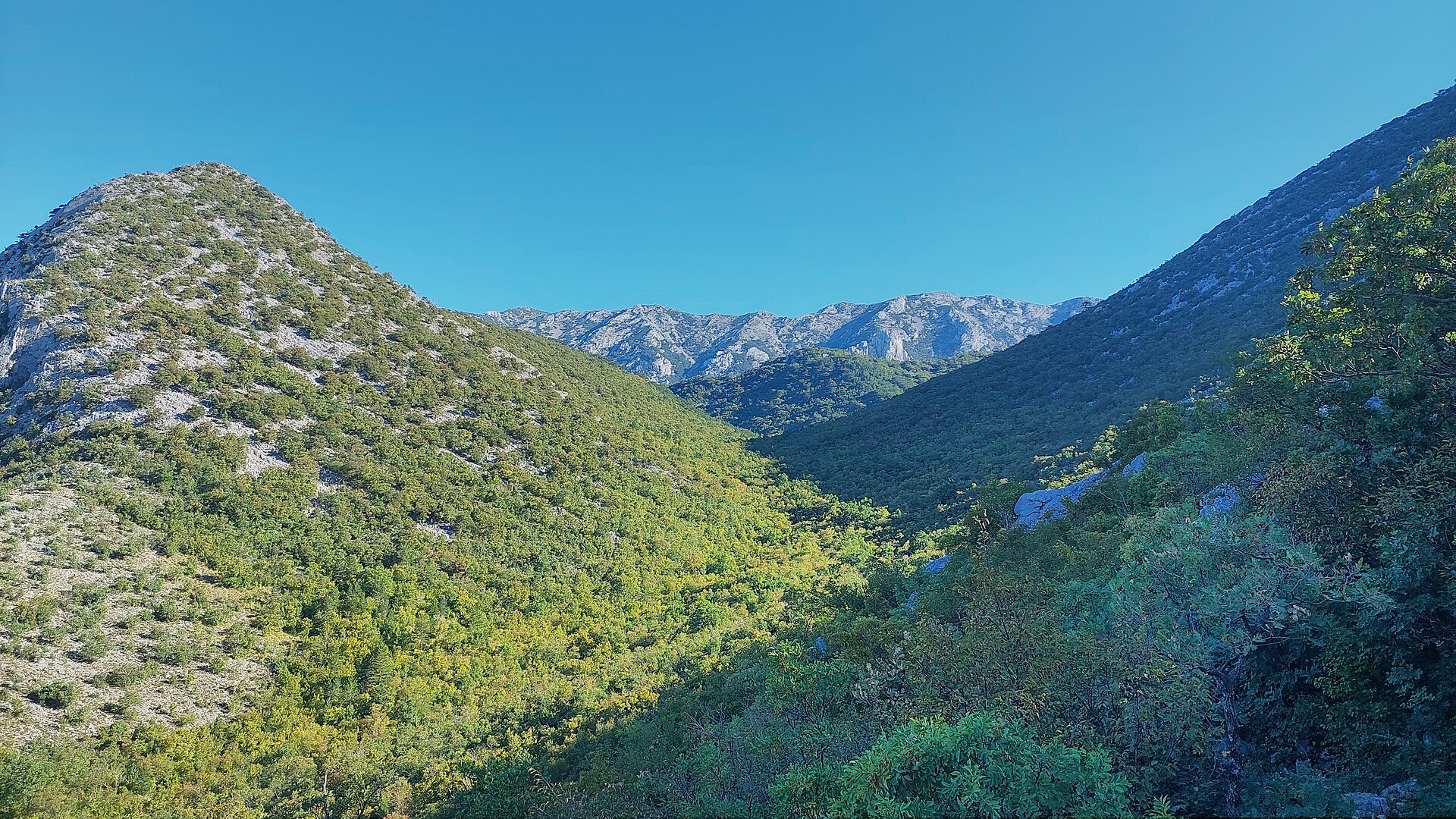
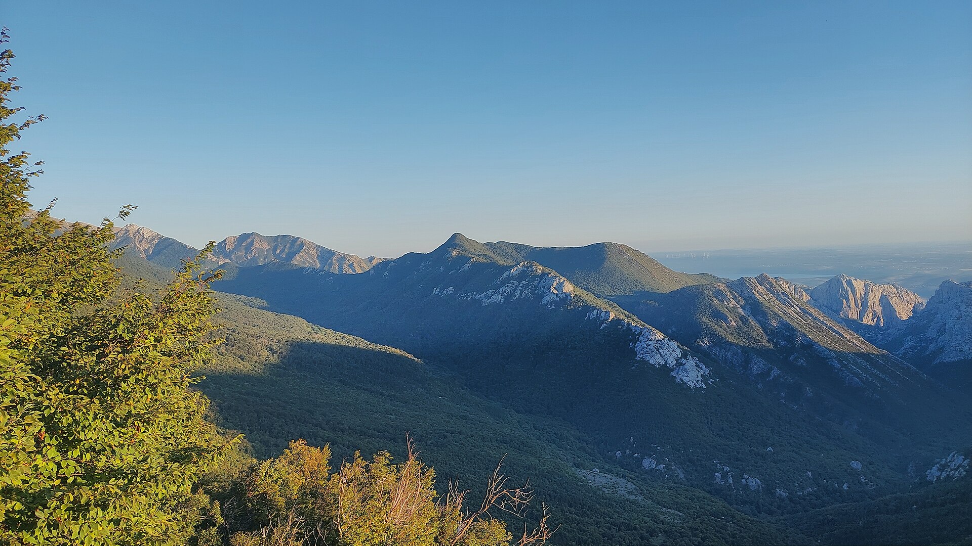
The name Borovnik comes from the black pine forest that still covers most of its slopes. The ridge stretches along the southern edge of the Velika Močila valley — a bowl-shaped basin at around 850 m, ringed by Crni vrh (1110 m), Škiljina kosa (1015 m), and Zeleni brig (842 m). Above the neighbouring Veliko Močilo valley, Borovnik and Crni vrh together form an oval hollow that looks almost like a natural amphitheatre, thickly wooded with black pine and criss-crossed by marked paths circling the whole group. It's a landscape typical of the limestone core of Velebit: bare ridgelines, stony slopes, and pockets of forest tucked into the folds of the terrain.
How do you get to the trails?
Two main approach routes lead into the Borovnik area, later splitting into several variants for reaching the summit of Crni vrh — the peak can be climbed from as many as six directions in total. One route comes from the direction of the Paklenica mountain hut (northwest), the other from the Veliko Močilo valley (southeast). Both start from the entrance to Paklenica National Park at the Velika Paklenica canyon, from where marked trails climb into the Velebit massif. Given the rocky and partly exposed terrain, sturdy trekking boots and a park trail map are worth carrying.
When is the best time to visit?
Spring (April–June) and early autumn (September–October) offer the best hiking conditions, with mild temperatures and quieter trails than at the height of summer. In summer, the bare limestone slopes of Velebit heat up fast, so an early start is recommended. Paklenica National Park stays open year-round, but the higher parts of the massif can hold snow in winter and call for proper mountaineering experience and gear.
Frequently asked questions
How high is Borovnik? The ridge reaches about 1020 m, right next to the higher Crni vrh at 1110 m.
Where does the name Borovnik come from? It comes from the black pine ("bor" in Croatian) that covers the slopes of this part of Velebit.
Do you need a ticket to visit this area? Yes — it lies within Paklenica National Park, and entry to the canyon requires a paid ticket.
Which other peaks pair well with a visit to Borovnik? Crni vrh, Veliki kuk, Kuk od Rujice, and Veliki mozak are all in the immediate vicinity, reachable from the same trailheads out of Paklenica.
Nearby places

Earn badges for the places you visit
Download NextOnTrip, discover new places and check off your trails.