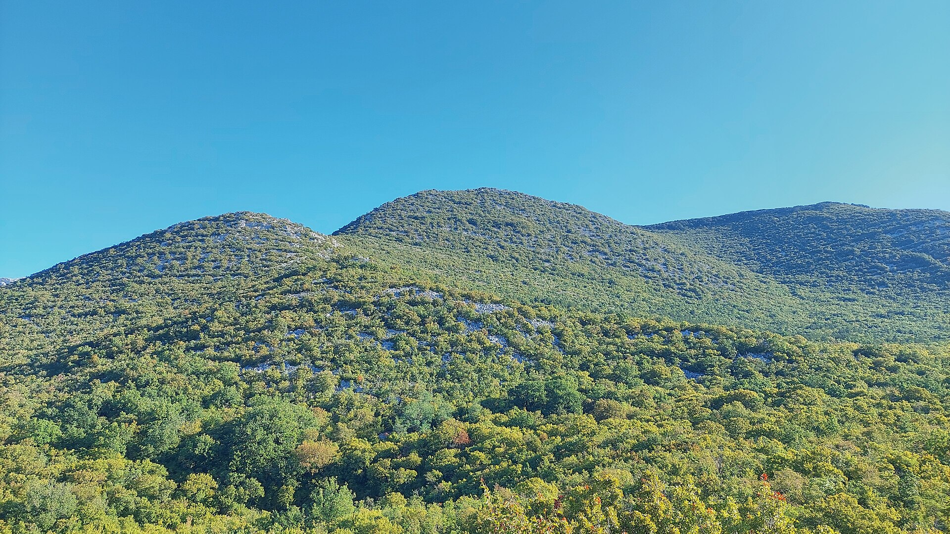
About this place
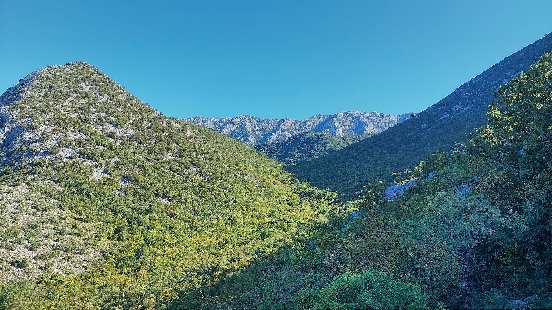
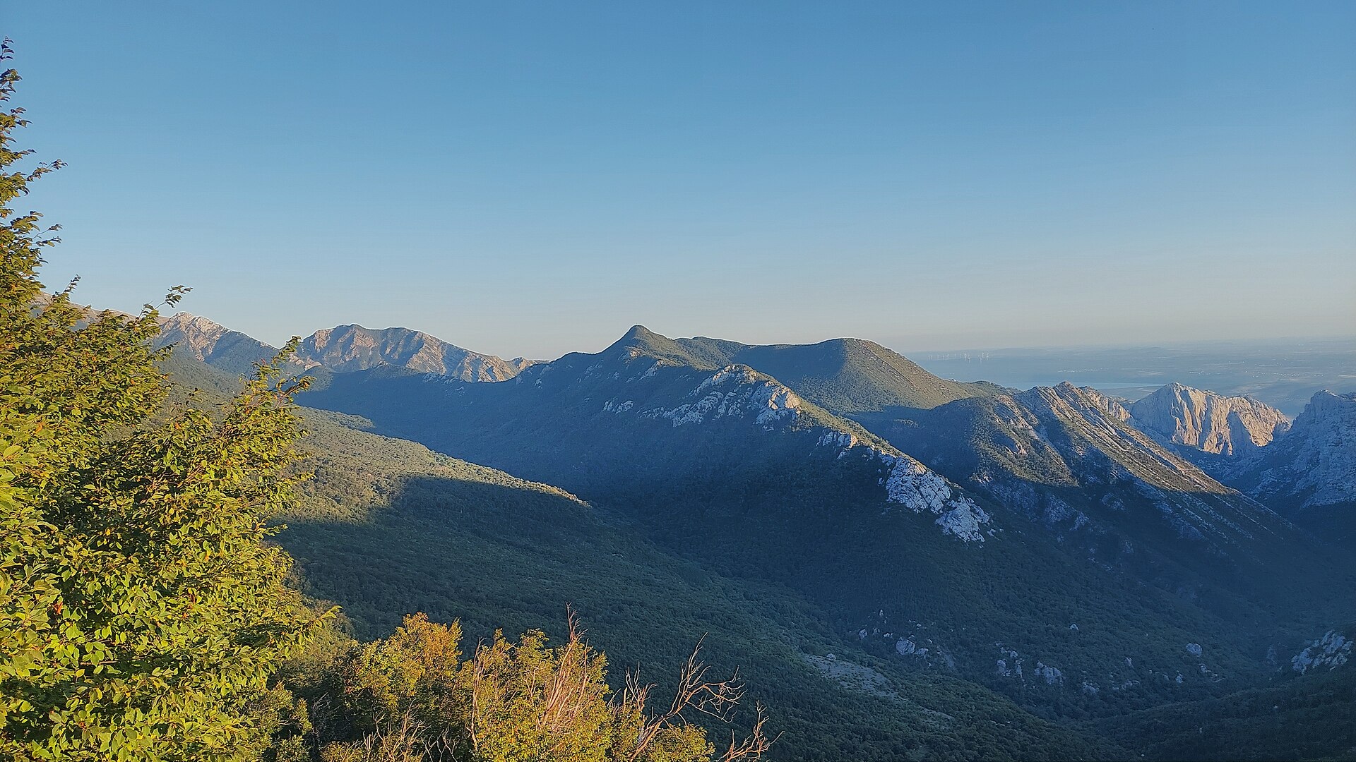
Komić is a ridge prominence of the Crni vrh peak in the Velebit massif, reached from Starigrad on the edge of Paklenica National Park. It's a destination for seasoned hikers chasing a panorama that stretches from the Adriatic to snow-streaked Velebit summits.
Where exactly is Komić?
The point sits at nearly 1,110 meters above sea level, along the ridge leading up to Crni vrh in the southern part of Velebit. Its coordinates, 44.3253669, 15.4888191, place it a dozen or so kilometers inland from central Starigrad, within or right at the edge of Paklenica National Park.
How do you get to Komić and Crni vrh?
The route starts at the entrance to Paklenica National Park and follows the main canyon of Velika Paklenica. After reaching the Paklenica mountain lodge, the trail continues toward the abandoned village of Ramići. From there, hikers pick one of two options: the route "via Klimenta" (steeper, favored on the way up) or "via Mala Močila" (typically used for the descent). The full round trip takes about 8 hours and demands solid fitness — it's continuous uphill walking through alternating scrub and exposed rock. Trail markings are sparse, though the narrow, 30–50 cm path stays visible. In spring and autumn, expect patches of snow up to 10 cm deep, and the descent involves stony switchbacks.
What will you see at the top?
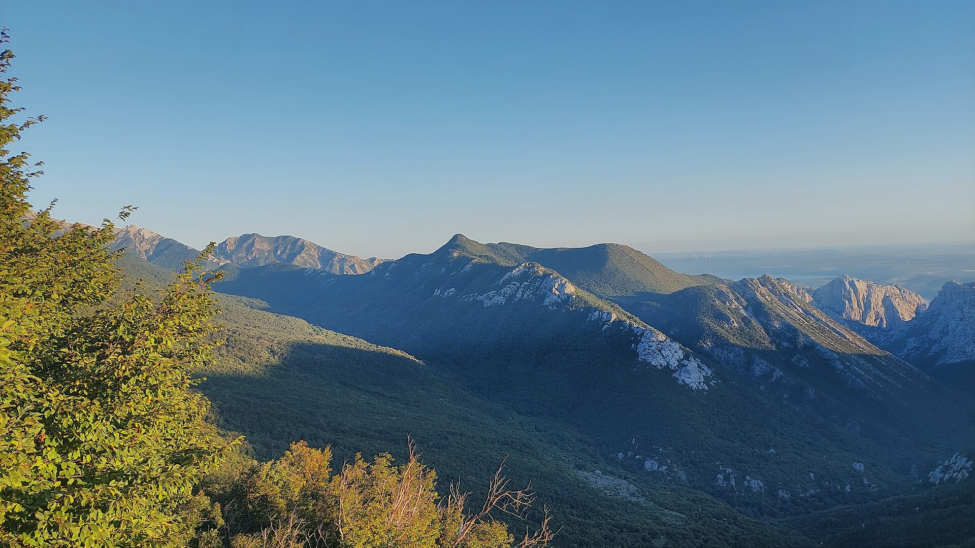
The summit of Crni vrh opens onto a panorama of the Adriatic, the islands, the Maslenica bridges, and the snow-covered peaks of the Velebit range. The top itself carries a metal structure with surveillance cameras and a small technical building fitted with solar panels and antennas — a trace of infrastructure that doesn't get in the way of the view. Along the route, the trail passes the abandoned village of Ramići and the stone houses of Škiljići, remnants of Velebit's old shepherd settlements.
Who is this route for?
Komić and Crni vrh suit experienced mountain hikers, not beginners. The terrain is demanding, with exposed rocky stretches and a long time on the trail. Start early in the morning, carry a map or GPS since markings can be incomplete, and pack enough water — there are no sources along the way.
When is the best time to visit?
Late spring and early autumn work best, once snow has cleared from the higher sections but before summer heat sets in. Summer makes the multi-hour climb over exposed rock exhausting, while winter requires proper equipment and mountaineering experience.
Frequently asked questions
How long does it take to climb Crni vrh from Paklenica? The full round trip takes about 8 hours, including the ascent via Ramići village and a descent on a different branch of the trail.
Is the route suitable for beginners? No — the terrain calls for good fitness and mountain experience, given the exposed rocky sections and sparse trail markings.
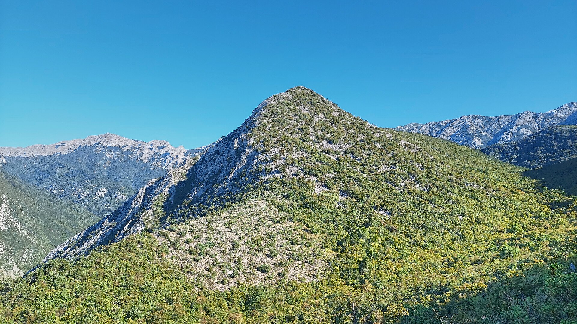
Are there other notable viewpoints nearby? Yes, the same range holds neighboring peaks and ridges such as Veliki kuk, Kuk od Rujice, and Borovnik, all part of southern Velebit around Paklenica.
Is there anything to see at the summit besides the view? Yes — a metal tower with cameras and a small technical station, though the panorama over the sea and mountains remains the main draw.
Nearby places

Earn badges for the places you visit
Download NextOnTrip, discover new places and check off your trails.