About this place
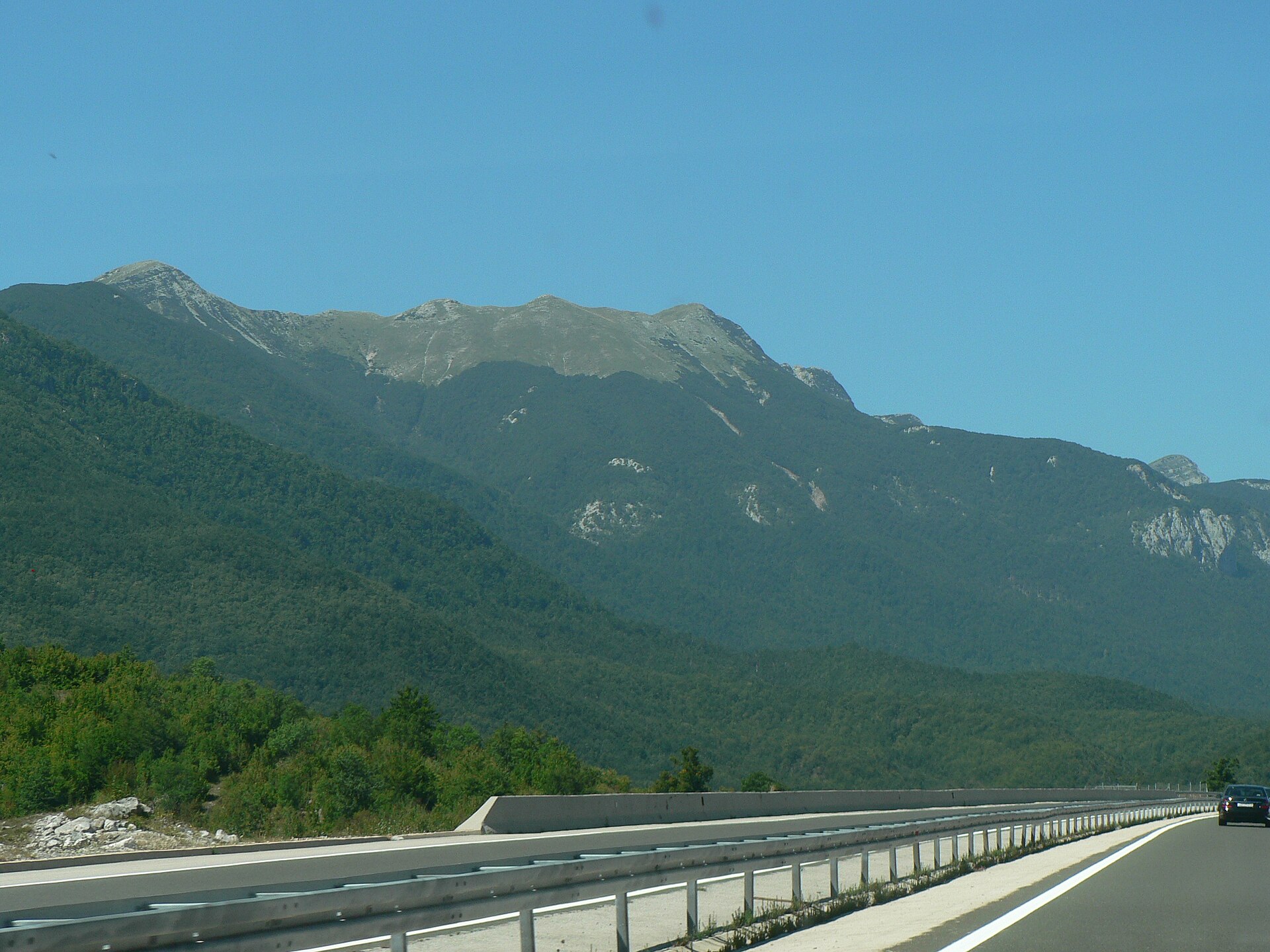
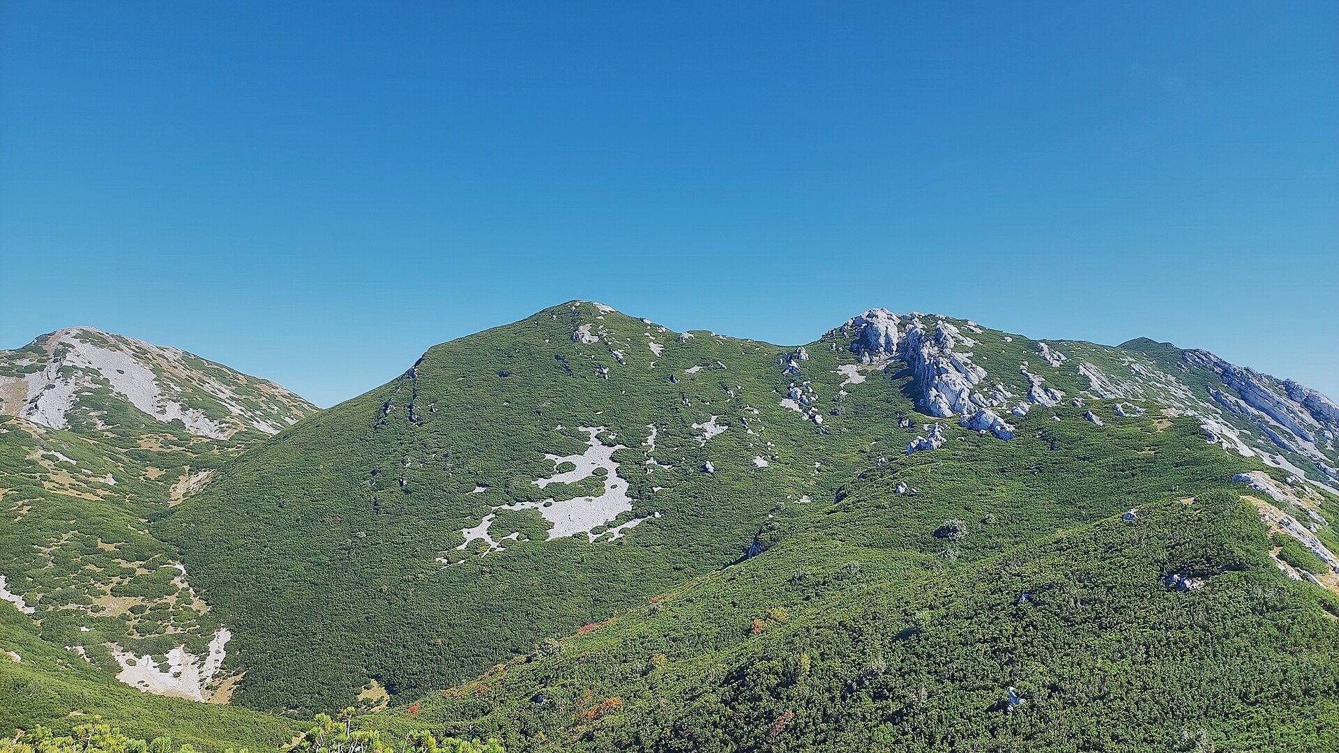
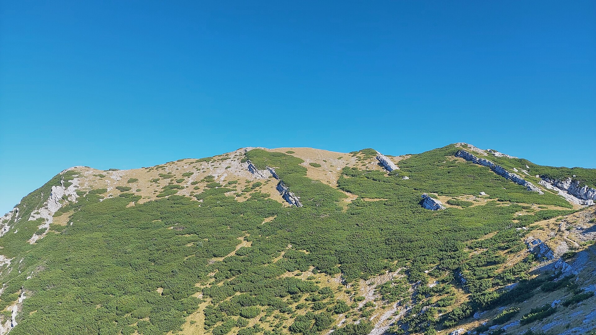
Babin Vrh is a subpeak of Sveto Brdo in the Velebit mountain range, rising above the village of Sveti Rok in Lika, Croatia. Sitting at an elevation close to 1,750 metres, right next to the highest section of southern Velebit, it forms one of the recognisable landmarks of this stretch of the range.
Where exactly is Babin Vrh?
The peak sits at coordinates 44.3395907, 15.5638713, directly next to Sveto Brdo (1,751 m) — the second-highest point in the entire Velebit range, surpassed only by Vaganski Vrh (1,757 m) roughly ten kilometres to the north. Babin Vrh stands out for its sharp, almost pyramidal profile, clearly visible from many points along the valley and from neighbouring ridges. There are actually two summits sharing this name in the area — an eastern one rising directly above the village of Lovinac, and a western one closer to the main Sveto Brdo massif — so it's worth confirming which one a route description refers to before setting out.
How do you get to Babin Vrh?
Most hikers start from the grassy plateau of Bunovac, where a marked trail climbs steeply through beech forest and then through dwarf pine scrub up to the Cesarova Dolina meadow, which serves as the natural base for tackling Sveto Brdo and nearby summits, Babin Vrh included. More experienced mountain hikers can instead follow the unmarked ridge route running from Čičine Doli over Babin Vrh to the parking road below Sveto Brdo — about 3.6 km long and best attempted with solid route-finding skills. Sveti Rok, sitting at the foot of Velebit right by the entrance to the road tunnel connecting the coast with Lika, is the natural jumping-off point for reaching this part of the mountains, with local roads leading from the village centre toward the trailheads.
What will you see there?
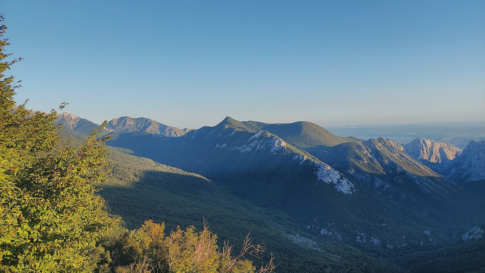
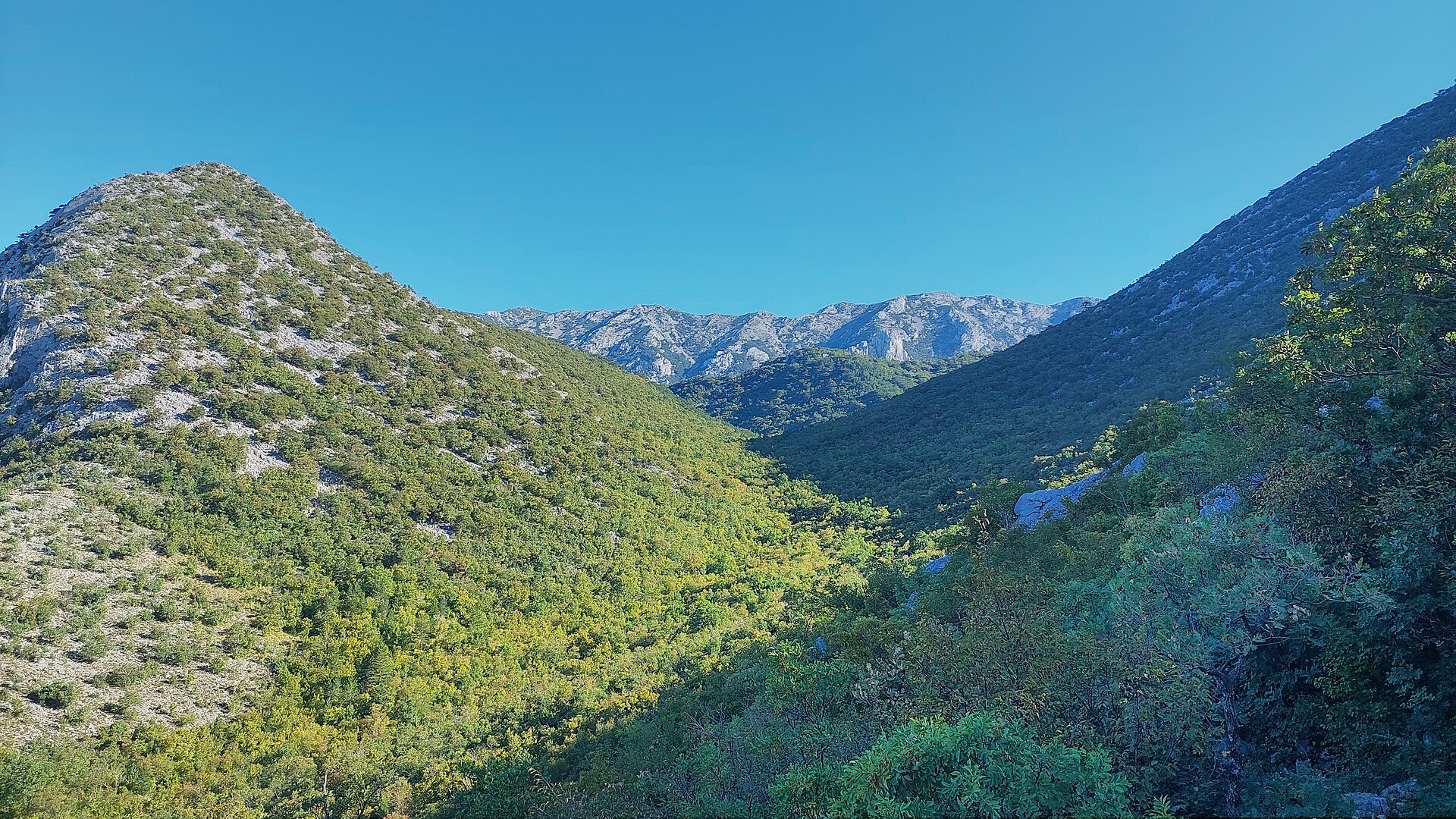
The area around Babin Vrh and Sveto Brdo counts among the most scenic corners of the whole Velebit range. The ridge opens onto a panorama stretching from the Adriatic Sea and its islands on one side to the interior of Lika and the rest of the Velebit chain fading into the horizon on the other. The landscape is shaped by rocky ridgelines, high mountain basins covered in dwarf pine, and beech forest lower down the slopes — typical vegetation of southern Velebit, which falls under the protection of Velebit Nature Park. Sveto Brdo itself is often cited as one of the best viewpoints in the entire range thanks to the open, all-round panorama from its summit.
When is the best time to visit?
The best window for hiking around Babin Vrh runs from late spring through summer into early autumn, roughly June to October, once the trails are clear of snow and meadows like Bunovac and Cesarova Dolina are reachable without winter gear. Given the high-mountain character of the terrain, strong summer sun exposure, and the lack of shelters along the route, it pays to start early in the morning, carry enough water, and check the forecast beforehand — there is practically no water source on the trail itself.
Frequently asked questions
Is Babin Vrh a hiking destination on its own? It's a subpeak of Sveto Brdo, so most hikers combine both summits in a single outing rather than treating them as separate goals.
How high is Babin Vrh? It sits at an elevation close to neighbouring Sveto Brdo (1,751 m), though the exact height depends on which of the two ridges sharing the name — eastern or western — is being climbed.
Is the route to the summit marked? The main approach from Bunovac via Cesarova Dolina is marked, while the ridge route from Čičine Doli over Babin Vrh is unmarked and calls for mountain hiking experience.
Do you need a mountain guide? On the marked trail, experienced hikers can manage on their own, but on the unmarked ridge sections it's best to go with a group or someone familiar with the terrain.
Nearby places

Earn badges for the places you visit
Download NextOnTrip, discover new places and check off your trails.