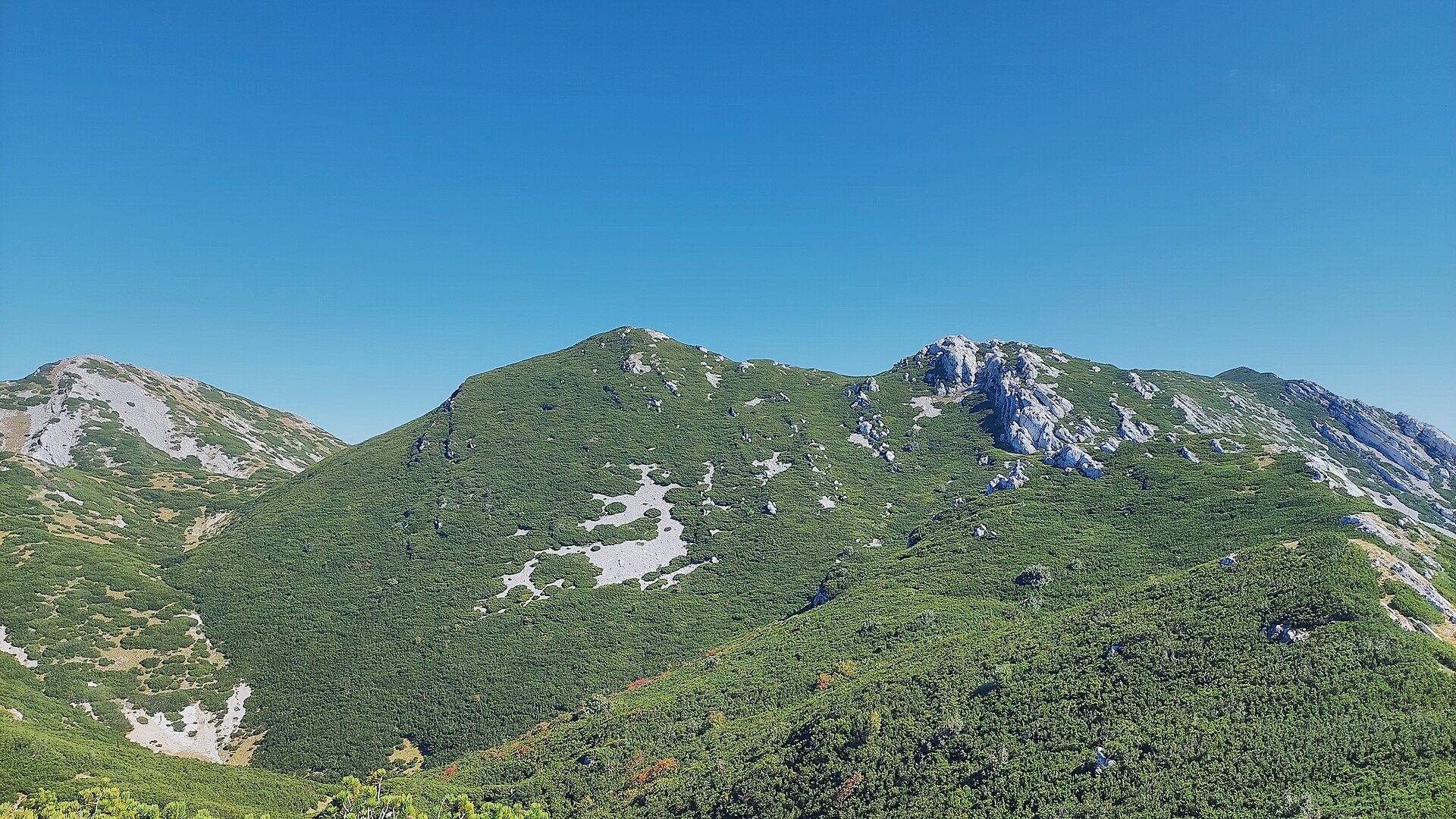
About this place
Brundo is a peak in the Velebit massif in Croatia, located in the Kukljić area — one of the lesser-known but worthwhile points along the ridge of the country's longest mountain range. It rises to roughly 1,710 metres above sea level and sits directly on the stretch of ridge connecting Velebit's two highest summits, Vaganski vrh and Sveto brdo, close to neighbouring peaks such as Liburnija and Segestin.
Where exactly is Brundo?
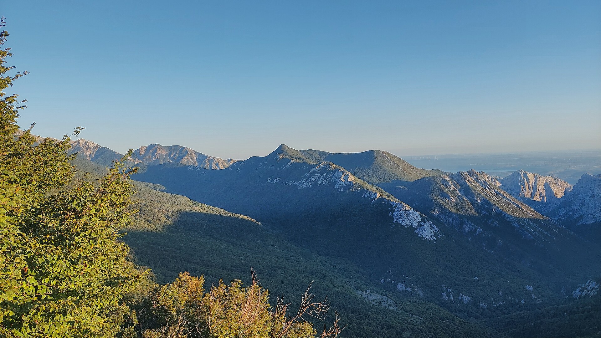
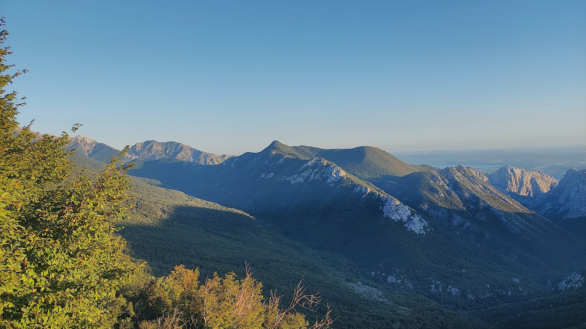
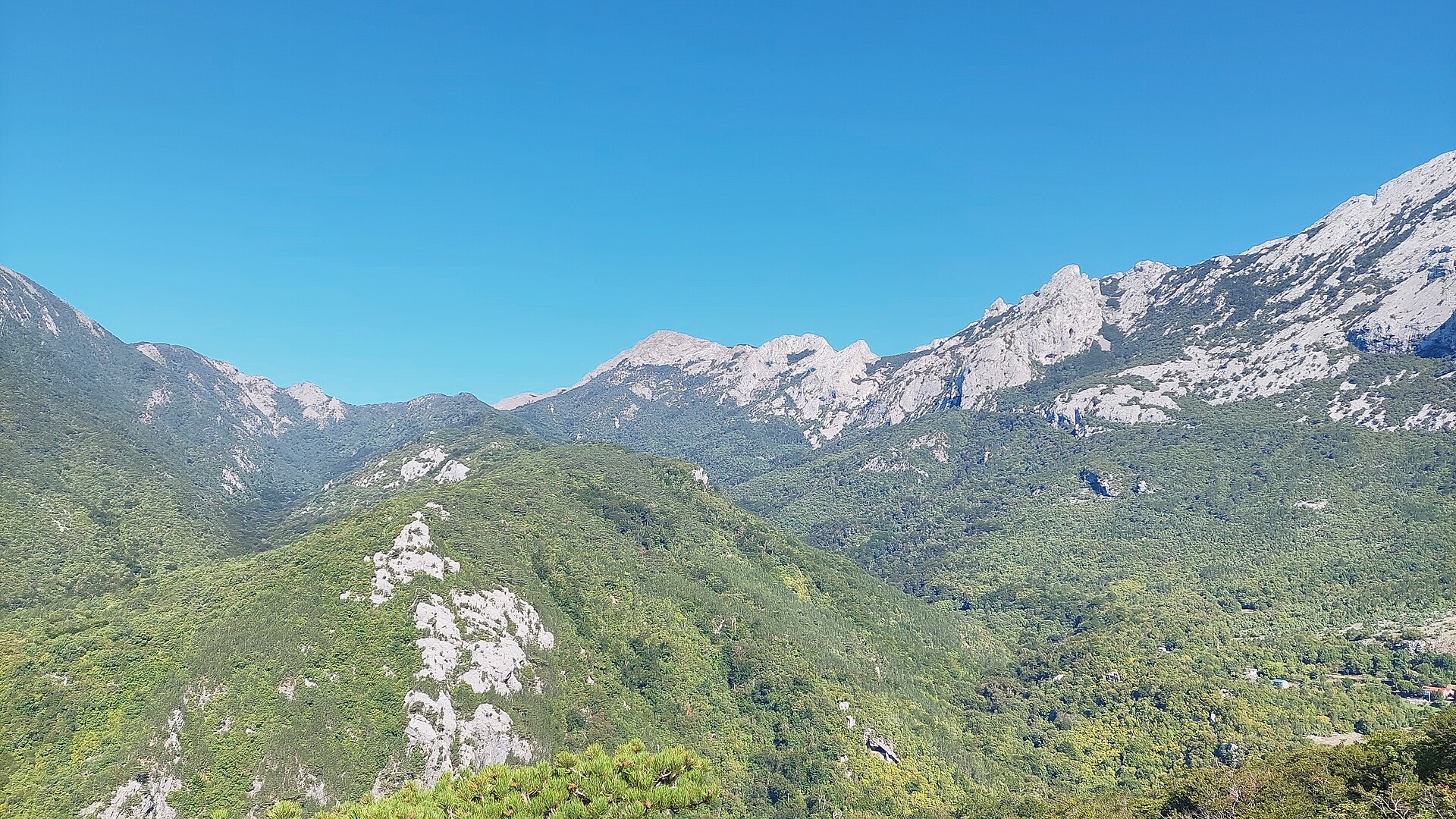
The peak lies in the southern part of Velebit, within Paklenica National Park and the surrounding Velebit Nature Park, which is recognised as a UNESCO biosphere reserve. Its coordinates are 44.3596668, 15.5127435. The terrain here is classic rugged Dinaric karst: limestone ridges, sinkholes and patches of dwarf pine, with the Adriatic visible on one side and the inland Lika region on the other.
How do you get to Brundo?
Access is on foot only, via the ridge trails of southern Velebit. Most hikers start from a mountain hut or a car park near the entrance to Paklenica National Park (commonly from the Starigrad side), following a trail up the valley and then along the main ridge toward Vaganski vrh. The turn-off toward Brundo and the nearby Liburnija peak typically involves another 30–40 minutes of easy walking through open, dwarf-pine terrain once you leave the main ridge path. It is worth planning a full-day outing, since simply reaching the base of the ridge already takes several hours of walking from the valley.
What will you see there?
The area around Brundo offers the kind of panorama that defines Velebit's highest sections — bare limestone crests, deep karst depressions, and distant sea views. It appeals to hikers looking for solitude and untouched wilderness, well away from the busier trails of Paklenica lower down. Chamois are occasionally spotted in the area, and in spring and summer the ridge hosts numerous alpine plant species that are endemic to Velebit.
When is the best time to visit?
Late spring through summer, roughly June to September, is the best window for hiking around Brundo, when the trails are free of snow and daylight hours are long. In early spring and late autumn, snow patches and strong winds can still linger on the ridge, so a visit outside the summer season calls for proper preparation and equipment. In summer, an early start is recommended to avoid the heat on the exposed, rocky stretches of the trail.
Frequently Asked Questions
Is Brundo a popular hiking destination? It is not a mass-tourism summit — it is more of a target for experienced hikers who pass by while traversing the ridge between Vaganski vrh and Sveto brdo.
Is the route to Brundo difficult? The final approach from the main ridge trail is relatively easy, around 30–40 minutes, but reaching this part of Velebit first requires several hours of walking over mountainous terrain, so good fitness is recommended.
Do you need a guide? It is not mandatory, but given the rocky, partly unmarked terrain and changeable ridge weather, beginners are advised to hike with an experienced companion or a local mountain guide.
How long does a trip to this area take? Because of the distance from trailheads and the climb up to the ridge, a visit to the Brundo area is usually planned as a full-day trip, and hikers attempting a longer ridge traverse often stay overnight in a mountain hut over several days.
Nearby places
Earn badges for the places you visit
Download NextOnTrip, discover new places and check off your trails.