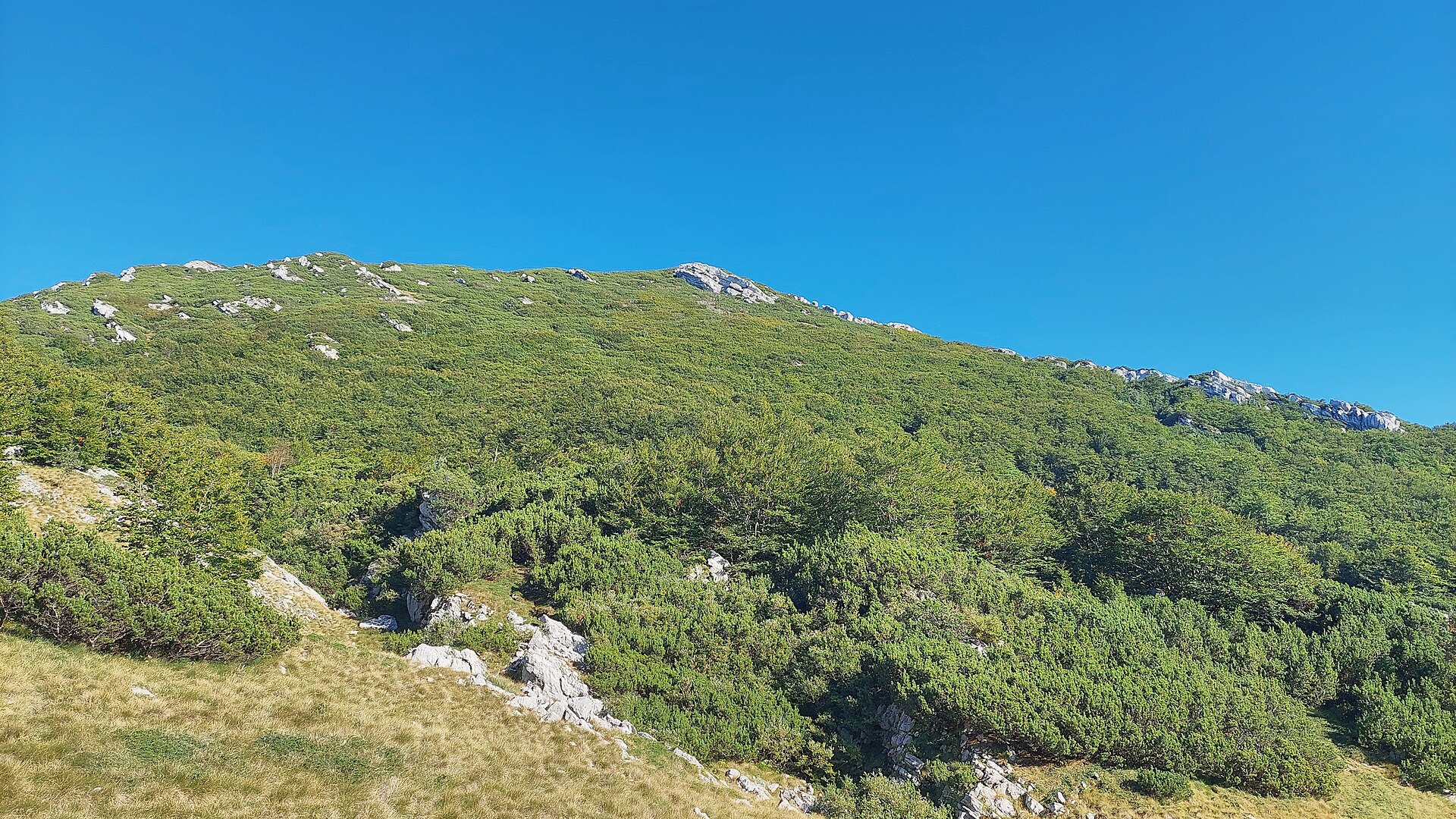
About this place
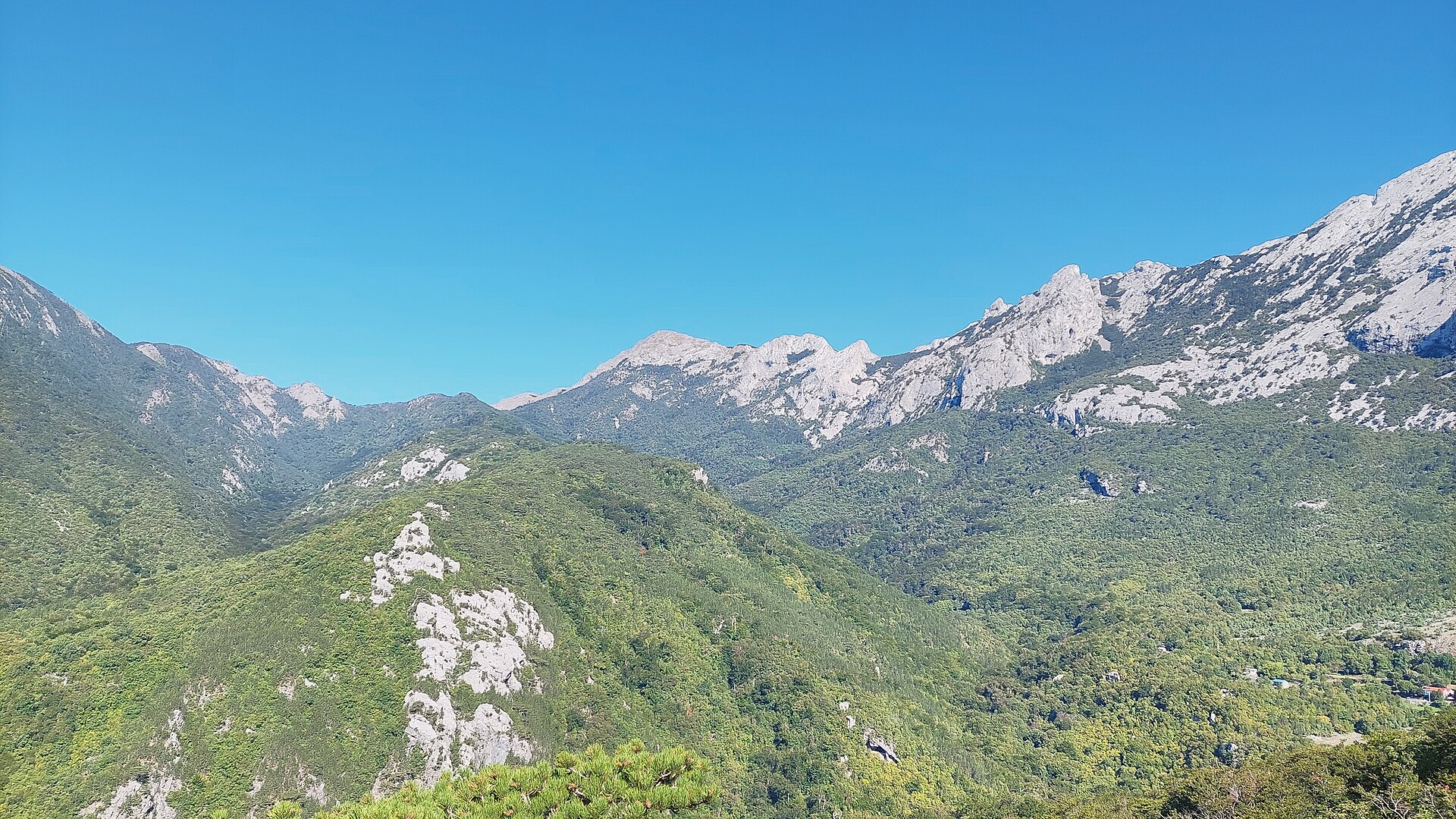
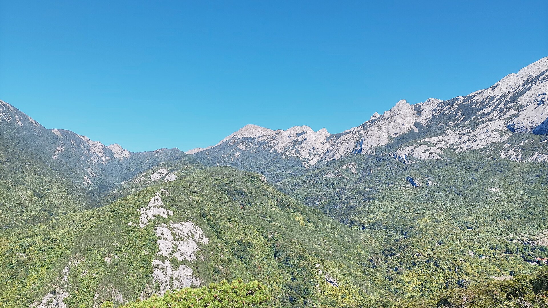
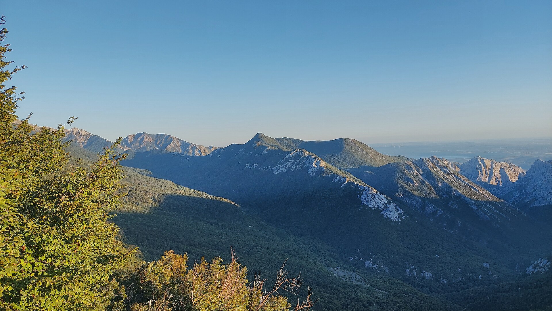
Zoranićev vrh is a peak near Kukljić, in the southern part of Croatia's Velebit mountain range, rising to 1,712 meters above sea level. It sits right next to Vaganski vrh (1,757 m), the highest point of the entire Velebit chain, making it a rewarding target for hikers who want mountain scenery away from the coastal crowds.
Where exactly is the peak?
Zoranićev vrh lies in Southern Velebit (Južni Velebit), west of Vaganski vrh, south of Babino jezero, east of Rapavac, and north of Crljeni kuk. Its coordinates are 44.3677 N, 15.4865 E. The surrounding terrain is classic central-southern Velebit limestone country: deep karst valleys, rocky ridgelines, and views that stretch toward the Adriatic on clear days.
Where does the name come from?
The peak is named after Petar Zoranić, a Croatian Renaissance writer best known for the pastoral prose poem "Planine" ("Mountains"), one of the earliest works written in the Croatian language. The naming decision was made on May 20, 1973, during a joint expedition by representatives of four Croatian mountaineering societies. It follows a long-standing Velebit tradition of naming summits after figures important to Croatian culture and history.
How do you get to Zoranićev vrh?
The peak sits along the network of southern Velebit trails, close to the border of Paklenica National Park, the main gateway used for climbing neighboring Vaganski vrh. The usual approach combines the marked route to Vaganski vrh with a short ridge walk heading west. The limestone ground is loose and steep in places, so sturdy trekking boots, poles, and prior mountain hiking experience are essential. Plan for a full-day outing and start early, especially in summer, when the exposed rock heats up quickly under the sun.
What will you see up there?
From Zoranićev vrh, the view opens onto the neighboring peaks of southern Velebit, deep karst valleys, and, on clear days, a strip of coastline and the Adriatic islands beyond it. Vegetation is typical high-Velebit flora: dwarf pines, endemic herbaceous plants, and sparse, tough grasses growing out of rock crevices. The whole area falls within Velebit Nature Park, which also carries UNESCO Biosphere Reserve status, meaning strict landscape protection, a no-litter policy, and a requirement to stay on marked trails.
When is the best time to visit?
The best hiking window runs from June to September, when trails are dry and snow has cleared even from the highest sections. Spring and autumn weather in the mountains can shift quickly, so checking the forecast right before setting out is essential. Winter ascents require alpine gear and experience — this is a route strictly for well-prepared mountain hikers.
Frequently asked questions
How high is Zoranićev vrh? The peak stands at 1,712 meters above sea level, 45 meters lower than Vaganski vrh, the highest point of the Velebit range.
Is the hike difficult? Yes, it crosses high-mountain limestone terrain that demands good fitness, proper footwear, and prior hiking experience in alpine conditions.
Why does the peak carry this name? It honors Petar Zoranić, a Croatian Renaissance writer known for "Planine" — the name was officially given in 1973.
Is there accommodation nearby? Most lodging and trailhead access points are located in and around Paklenica National Park and the coastal towns nearby, from which trails lead deeper into the Velebit range.
Nearby places
Earn badges for the places you visit
Download NextOnTrip, discover new places and check off your trails.