About this place
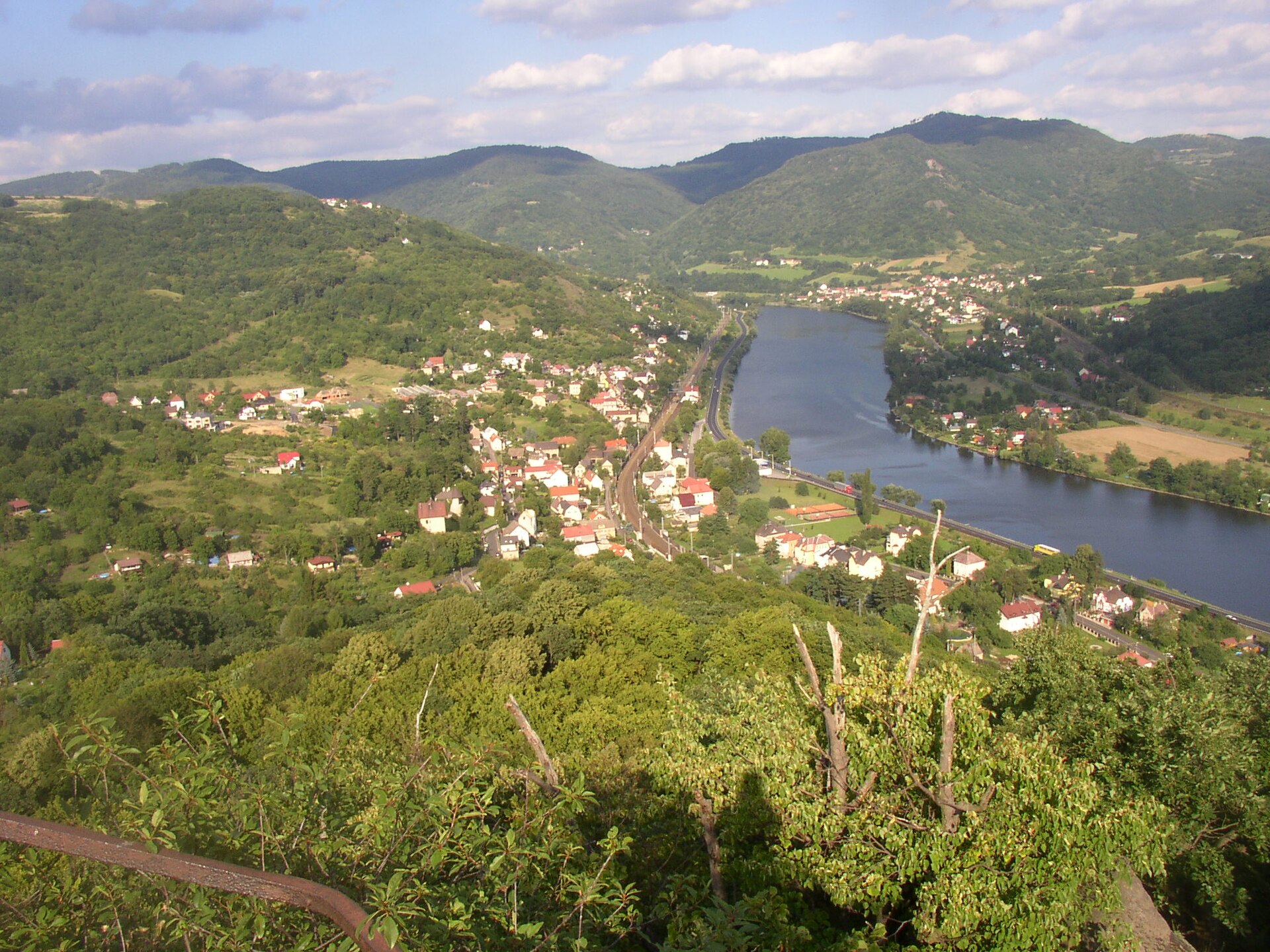
Žernosecké jezero (also known as Píšťany Lake) is an artificial body of water spanning more than 100 hectares, located within the municipal territory of Píšťany in the Litoměřice district of northwestern Czechia. It stretches between the villages of Píšťany, Velké Žernoseky and Žalhostice, on the right bank of the Elbe river, right at the foot of Radobýl hill.
How did the lake form?
The lake is not a natural feature. It occupies the site of a former sand and gravel quarry that operated from 1952 to 1977. Sand extracted here was used in the construction of major dams on the Vltava river, most notably the Slapy and Orlík dams. Once quarrying stopped, the pit gradually filled with water seeping in from the nearby Elbe, creating the large lake seen today.
What does the lake look like?
The outline of the lake roughly resembles a pentagon, with a diameter of more than one kilometre. Three small islands sit within it, along with two distinct peninsulas of land jutting into the water. Its high, sandy banks are one of its defining traits, giving parts of the shoreline the look of a seaside beach — together with the clear water, this is the main draw for summer visitors.
What can visitors do here?
Today the lake functions mainly as a recreational spot. Its sandy shores and clean water make it a popular swimming destination, drawing day-trippers from across the Litoměřice region. A cycling route running along the Elbe passes directly by the lake, making it a convenient stop for cyclists following the river valley. Its proximity to Radobýl hill and to the wine-growing village of Velké Žernoseky means a visit here is easy to combine with a longer day out exploring the surrounding area.
Where exactly is the lake located?
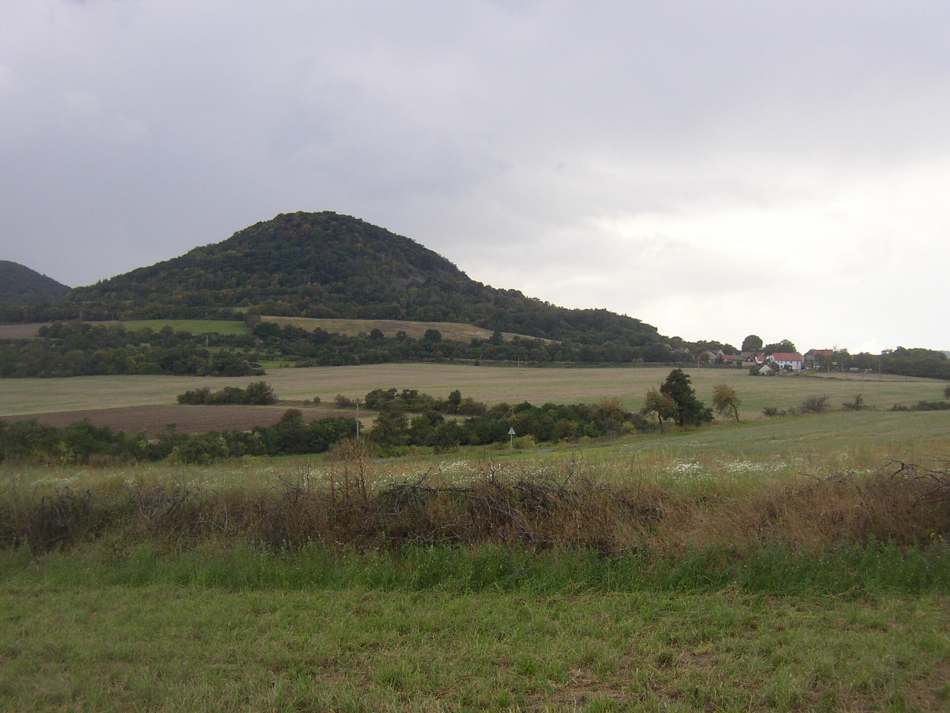
Žernosecké jezero lies within the municipality of Píšťany, between the villages of Píšťany, Velké Žernoseky and Žalhostice, directly along the right bank of the Elbe. Its approximate coordinates are 50.525°N, 14.067°E. The surrounding countryside belongs to the České středohoří (Central Bohemian Uplands), a region known for its distinctive steep hills of volcanic origin — Radobýl, visible nearby, is one of them.
Frequently asked questions
Is Žernosecké jezero a natural lake? No. It is an artificial lake created at the site of a former sand and gravel quarry, which flooded after mining ended in 1977.
What was the sand from this site used for? Sand extracted here went into building major dams on the Vltava river, primarily the Slapy and Orlík dams.
How large is the lake? It covers more than 100 hectares, has a roughly pentagon-shaped outline, and measures over one kilometre across.
Does the lake have any islands? Yes, it contains three small islands as well as two peninsulas of land extending into the water.
Can you swim in the lake? Yes, the lake has clean water and high, sandy banks resembling a seaside beach, making it a popular swimming spot in the region.
How can cyclists reach the lake? A cycling route running along the Elbe river valley passes directly by the lake, connecting it to Litoměřice and the surrounding villages.
Nearby places

Earn badges for the places you visit
Download NextOnTrip, discover new places and check off your trails.