About this place
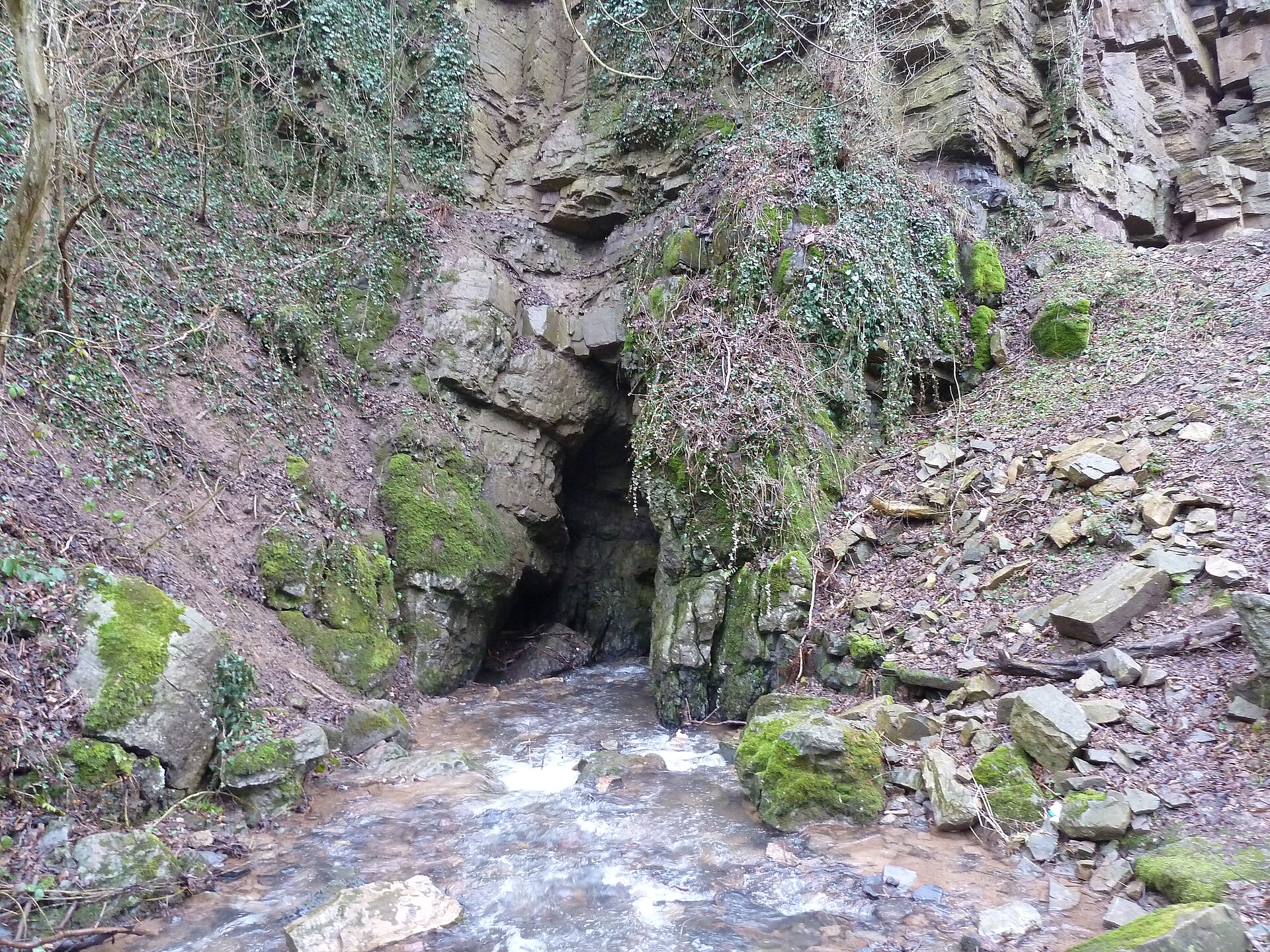
Trou Lecoq is a karst cave, known locally as a "chantoir," located in the municipality of Sprimont in Belgium's Liège province, near the village of Louveigné and close to the boundary with the neighbouring municipality of Aywaille. It is one of roughly seventy chantoirs catalogued within the Vallon des Chantoirs, a karst valley that stretches across both municipalities.
What is a chantoir, and how did Trou Lecoq form?
A chantoir is the local Belgian term for a spot where a surface stream disappears underground into limestone bedrock. The area containing Trou Lecoq marks the northern edge of the Calestienne, a band of Middle Devonian limestone that runs roughly 130 kilometres southward, extending into France. Within this limestone, water has carved out a network of underground channels over time, producing the sinkholes and caves that make up the valley, Trou Lecoq among them.
Hydrological studies of this karst system have shown that the waters vanishing into the valley's various chantoirs converge underground into a single common collector. That water only reappears at the surface in the Remouchamps caves, where it flows as an underground river known as the Rubicon.
What has been discovered inside the cave?
The exploration history of Trou Lecoq stretches back to the mid-twentieth century. The same underground chamber that later drew further investigation was first reached by Fernand Lambert and Guy de Bellefroid in September 1950, and again by the caving group Les Taxis in September 1966.
A breakthrough came in June 1993, when Patrick Hamers of the SC Avalon club and Michel Antoine of CASA passed through a siphon — a passage section completely filled with water — and came upon a previously unexplored part of the cave. Beyond the siphon they found a meandering passage that, after about 25 metres, opened into a small chamber.
Further exploration revealed considerably larger features. Cavers discovered the Salle de la Batterie, a spacious and very tall chamber reached by climbing an eight-metre section. They also found a tall, diagonal fissure (a diaclase) with several side passages branching off it, as well as an impressive cylindrical chimney with clay walls that required artificial climbing techniques to ascend. Altogether, the newly discovered section measured 102 metres in length.
Why did exploration of the cave come to a halt?
Exploration work at Trou Lecoq stopped in 1994 for two reasons. First, rising water levels once again blocked the siphon that the 1993 team had passed through, cutting off access to the newly found sections. Second, a local Dutch tour operator installed a gate at the cave entrance, which effectively brought further exploration to an end.
To move through the different parts of the cave system, the cavers relied on ladders measuring ten, five, and five metres, needed for the various descents and climbs encountered along the way.
Frequently asked questions
Where exactly is Trou Lecoq located? The cave lies within the municipality of Sprimont in Liège province, near the village of Louveigné, inside the karst valley known as the Vallon des Chantoirs.
Can Trou Lecoq be visited today? A gate installed by a local Dutch tour operator has restricted free access to the cave's interior since 1994.
Where does the water that vanishes into Trou Lecoq end up? The underground water from the valley's chantoirs converges into a shared collector and re-emerges at the Remouchamps caves, flowing as an underground river called the Rubicon.
Nearby places

Earn badges for the places you visit
Download NextOnTrip, discover new places and check off your trails.