Save this place and discover nearby attractions with NextOnTrip
In the app you can add it to your favorites, see what else is worth visiting nearby on the map, and earn a badge for your visit.
The app is available for iPhone and Android.
About this place
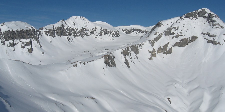
Piz Mundaun (2,064 m) rises above the Val Lumnezia area in Surselva, Graubünden, just east of Obersaxen in the Lepontine Alps. Locals call it the "Bündner Rigi", and for its modest height it offers one of the best panoramic outlooks in Switzerland.
What can you see from the top?
The view runs all the way round. Higher peaks line the horizon, among them Piz Terri, Piz Aul and the Rheinwaldhorn. Far below, nearly 1,400 m lower, sits the town of Ilanz, and you can pick out its railway station at 699 m. The drop into the Surselva valley is what makes the outlook so striking.
How do you get up Piz Mundaun?
The easy way is the Cuolm Sura chairlift, a six-seater built in 1998. It links a valley station at 1,589 m to a top station at 2,058 m, covering 1,350 m of line and 469 m of climb. The top station sits just under the summit, so a short walk finishes the job. The operator is Bergbahnen Obersaxen Mundaun.
To earn the view on foot, try the loop from Surcuolm over the summit and back via Cuolm Sura. Surselva Tourismus lists it at 14.1 km, about 4 h 45 min and 745 m of ascent, with the option to ride the lift down. Another well-used approach starts in Morissen and passes the forest chapel of Sogn Carli.
Other routes nearby
- Piz Mundaun to Péz Sezner panorama walk: 6.8 km, around 2 h 45 min, moderate.
- Via Mundaun: a three-day winter trail of 37.1 km between Obersaxen and Lumbrein, which also goes past Sogn Carli.
When should you go?
Summer and early autumn give dry trails and the longest sight lines on clear days. In winter the area works for skiing and winter walking. Lift hours vary by season, so check the operator's schedule before you travel.
Frequently asked questions
Is there a lift to Piz Mundaun? Yes. The Cuolm Sura chairlift ends at 2,058 m, a few metres below the summit.
How long is the hike from Surcuolm? The loop over the summit is 14.1 km and takes roughly 4 h 45 min.
Why is it called the "Bündner Rigi"? The name points to the wide all-round panorama, compared with the view from Switzerland's Rigi.
How high is the peak? 2,064 m above sea level, about 1,400 m above Ilanz in the valley.
Nearby places

Earn badges for the places you visit
Download NextOnTrip, discover new places and check off your trails.