Save this place and discover nearby attractions with NextOnTrip
In the app you can add it to your favorites, see what else is worth visiting nearby on the map, and earn a badge for your visit.
The app is available for iPhone and Android.
About this place
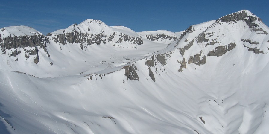
Ringelspitz (Romansh: Piz Barghis) is the highest summit in the canton of St. Gallen, rising above the village of Trin in the Swiss Glarus Alps. It stands about 3,248 m above sea level (some sources give 3,247 m) on the border between St. Gallen and Graubünden. Three municipalities share the massif: Pfäfers, Trin and Tamins. The whole area lies within the Sardona Tectonic Arena, a UNESCO-listed landscape.
What kind of mountain is it?
Ringelspitz is the high point of a ridge about 12 km long that branches off the main Glarus Alps chain between Piz Sardona and Piz Segnas. Its north face drops nearly 2,000 m above the Gigerwaldsee reservoir. From the Trin and Flims side to the south, it looks like a dark, rocky wall above forests and pastures. Neighbouring Piz Segnas reaches 3,099 m.
How do you get to the foot of the peak?
The closest access village is Tamins in the Rhine valley. A steep, well-marked forest path (the Lawoi route) climbs from there to the hut in roughly four hours. You can also drive up a forestry road towards the Kunkels pass and continue on foot. The base for climbers is the SAC Ringelspitzhütte; the Schräawislihütte is also mentioned as a starting point.
Trin and Flims lie in Graubünden close to the Rhine valley, and Chur is the nearest large town in the region.
Is the climb suitable for everyone?
No. Reaching the summit is a demanding alpine tour. The route along the central ridge crosses firn and glacier, with rock passages up to grade IV. The harder sections have fixed bolts, hooks and abseil stations. From the hut the ascent takes about five hours. The regional tourist board describes it as a route for people with alpine experience who carry a rope and can navigate on their own. A two-day plan with a night in the hut is the usual recommendation.
When should you go?
Early summer is best, while snow still covers the upper slopes, or winter for a mixed ski, ice and rock outing. Ordinary hikers can enjoy the lower trails around Trin, Flims and Laax, which give good views of the massif's wall.
What else is nearby?
The Sardona Tectonic Arena is known for a thrust fault visible to the naked eye, where older rock lies on top of younger. Ringelspitz stands at the heart of this area. Also worth a visit are the Flims–Laax–Falera nature reserve at the foot of the range and Piz Segnas, whose easiest route follows the ridge from the Pass dil Segnas.
Frequently asked questions
How high is Ringelspitz? About 3,248 m above sea level, the highest point in St. Gallen canton.
Can you climb it without a guide? Yes, if you have alpine experience, a rope, glacier gear and navigation skills. Beginners should hire a mountain guide.
Where do you stay before the ascent? At the SAC Ringelspitzhütte, about five hours from the summit.
Is Ringelspitz in Graubünden or St. Gallen? On the border of both. Pfäfers (St. Gallen) and Trin and Tamins (Graubünden) share the massif.
Nearby places

Earn badges for the places you visit
Download NextOnTrip, discover new places and check off your trails.