- Mines
Kasteelgroeve
About this place
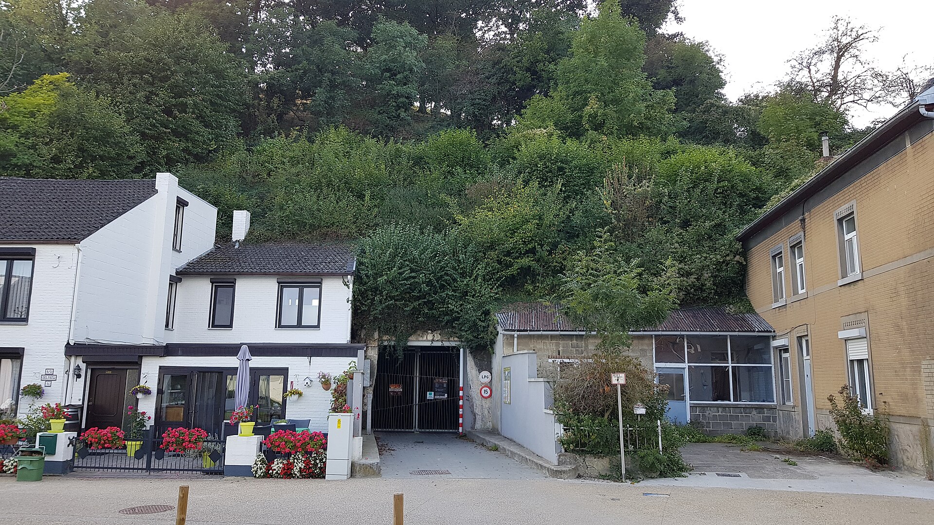
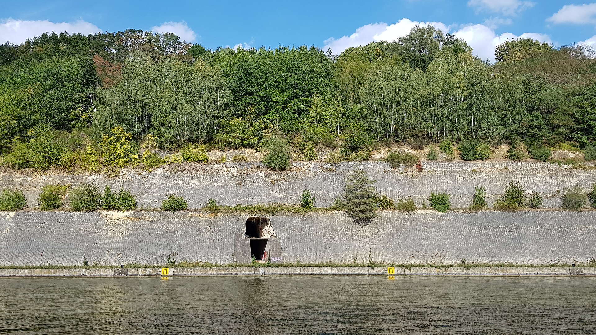
Kasteelgroeve is an underground network of former marl galleries cut into the steep eastern flank of the Caestert plateau, right on the Belgian-Dutch border near Visé. The name literally means "castle quarry," a reference to the nearby Caestert castle ruins standing on the same plateau. The site lies within the protected Thier de Caster area, part of the southern Sint-Pietersberg ridge, between the villages of Kanne and Klein-Ternaaien.
Where do these tunnels come from?
The story of the quarry stretches back to the Middle Ages. Its oldest passages may date from the mid-13th century, but organized block extraction only took off around the turn of the 14th and 15th centuries. Stonecutters from Kanne carved regular blocks of the soft local limestone, known regionally as marl, which were then used as building material across nearby towns and villages. Traces of their labor — including the oldest surviving inscriptions and carved signatures on the walls — date back to the 17th century. Over the following centuries the tunnel network kept expanding alongside demand for the local stone.
Why did quarrying stop?
Intensive extraction continued until around 1850, when block quarrying effectively came to an end. That was not, however, the end of underground activity: workers kept scraping loose marl from the walls and floors, gradually carving out taller, more spacious halls than the original mining galleries required. These enlarged chambers would later serve purposes far removed from stone extraction.
Mushrooms instead of stone
From the early 20th century, the cool, damp, and thermally stable interior of the former quarry was put to a new use: mushroom cultivation. The constant temperature, high humidity, and total darkness underground turned out to be nearly ideal growing conditions. This activity continued for decades, though from the 1960s onward mushroom farming increasingly shifted to modern above-ground facilities. Even so, the tradition never fully disappeared from the Caestert tunnels.
Today: a nature reserve
By the late 1970s the entire Caestert plateau, together with its underground quarry system, had been designated a nature reserve. The stable microclimate of the tunnels — darkness, humidity, and a temperature that barely varies through the year — created a unique habitat, valued today above all as a bat hibernation site. The wider Sint-Pietersberg and Caestert area is known for its interconnected network of marl galleries running for kilometers beneath the surface on both sides of the Belgian-Dutch border, and Kasteelgroeve forms one section of that larger system.
Frequently asked questions
Can Kasteelgroeve be visited? Because of its protected status and importance as a bat habitat, access to the interior is generally limited to organized tours or requires permission from local nature and heritage conservation organizations — unguided exploration is not recommended.
What does the name Kasteelgroeve mean? It is Dutch for "castle quarry" or "castle pit," referring to the nearby Caestert castle.
How is marl different from ordinary building stone? The marl found around Sint-Pietersberg is a soft sedimentary rock that is relatively easy to cut when freshly extracted, then hardens on exposure to air — which explains its long popularity as a building material throughout the Meuse region.
Where exactly is the quarry located? On the steep eastern slope of the Caestert plateau, south of Kanne and northwest of Klein-Ternaaien, within the municipality of Visé in Liège province, Belgium.
Nearby places

Earn badges for the places you visit
Download NextOnTrip, discover new places and check off your trails.