About this place
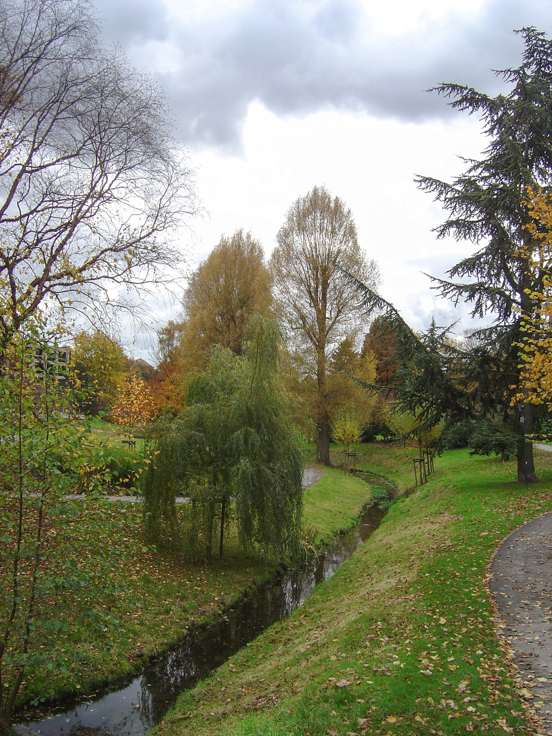
Tenreuken Park is a green space straddling the border between two Brussels municipalities, Auderghem and Watermael-Boitsfort. It covers just under 6.7 hectares and sits at an elevation of roughly 63 metres, right next to the Sonian Forest, one of the largest forested areas in the Brussels-Capital Region. The Woluwe stream runs through the park, giving the site a natural role as a green corridor linking the surrounding open spaces.
Where does the park come from and what is its history?
The park was laid out in the early 20th century, at the time Boulevard du Souverain was being built. Construction of the boulevard began in 1901, but the works were halted in April 1902 and stayed suspended for four years, which slowed the development of the surrounding land, including the park itself. Despite these interruptions, the area along the Woluwe stream was gradually turned into a public recreational space that eventually took on its present park-like character.
What is there to see and do in the park?
Tenreuken Park is best known for its ponds and its network of walking paths that wind through greenery and along the water. It is a popular spot for residents of the neighbouring districts looking for a quiet moment without having to leave the city. Its proximity to the Sonian Forest means a walk through the park can easily be extended into the forest itself, making Tenreuken a convenient starting point for longer walks on foot.
The park is also part of a wider network of green walking routes in Brussels. A stretch of the path running through the park forms part of a promenade that has been incorporated into the city's system of trails connecting different green spaces, allowing visitors to plan longer, multi-stage walks across the city without relying on the main roads.
Where exactly is the park located?
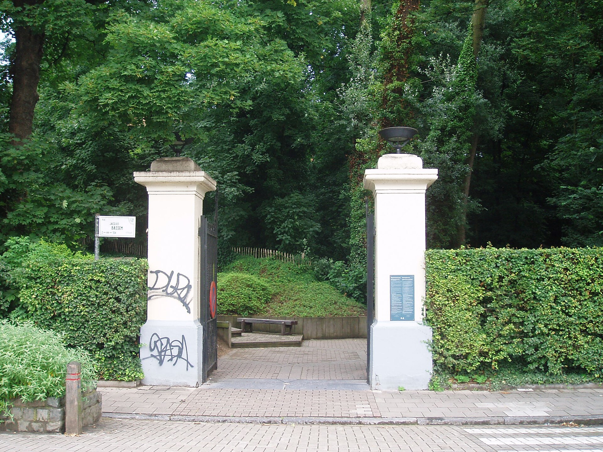
Tenreuken Park lies on Boulevard du Souverain, administratively within Watermael-Boitsfort (postal code 1170 Brussels), although its boundaries also extend into Auderghem. Sitting at the junction of these two municipalities, the park effectively links residential neighbourhoods with the larger green areas found on the south-eastern edge of Brussels.
Frequently asked questions
How big is Tenreuken Park? The park covers an area of about 6.68 hectares.
Which municipality is the park in? It lies on the border of Auderghem and Watermael-Boitsfort, with its administrative address on Boulevard du Souverain in Watermael-Boitsfort.
Is there water in the park? Yes, the Woluwe stream flows through the park, and the park also contains ponds.
Is the park next to a forest? Yes, Tenreuken Park borders the Sonian Forest, one of the largest wooded areas in the Brussels region.
When was the park created? The park was created in the early 20th century, in connection with the construction of Boulevard du Souverain that began in 1901.
Does a walking trail pass through the park? Yes, part of the park forms a section of Brussels' network of green walking trails linking the city's various green spaces.
Nearby places

Earn badges for the places you visit
Download NextOnTrip, discover new places and check off your trails.