About this place
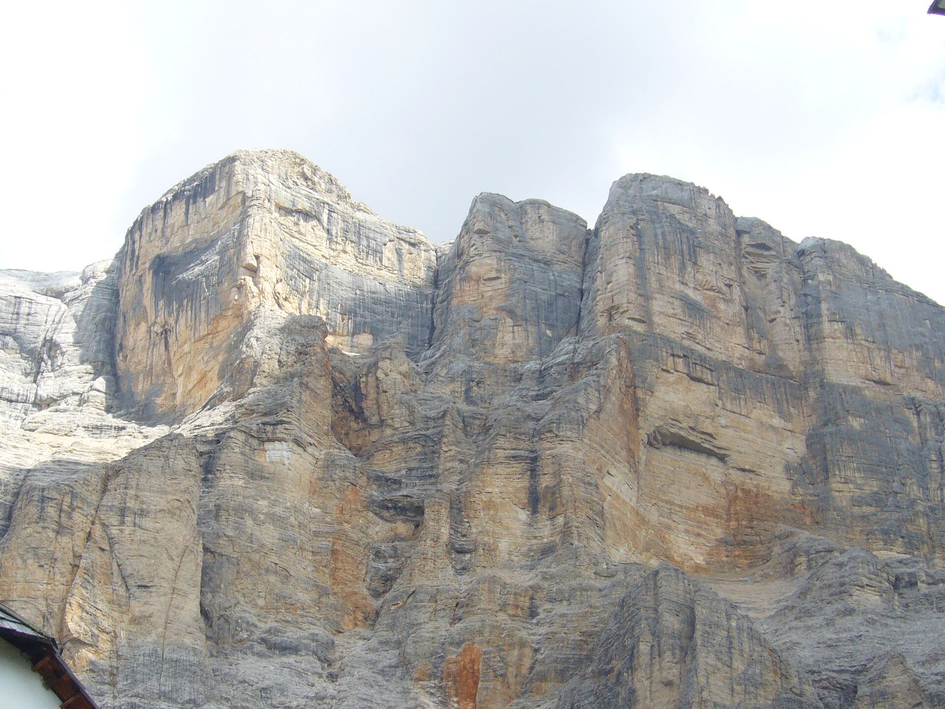
Paresberg (also known by its Ladin name Piz de Pares or Italian Monte Pares) rises above the village of La Valle / Wengen / La Val in the Alta Badia area of South Tyrol, Italy. Part of the Fanes mountain group within the Dolomites, the peak reaches roughly 2,384–2,396 metres above sea level, marking the first prominent, rocky summit on a ridge that runs from northwest to southeast and divides the Wengen valley from the neighbouring Rau valley. The mountain lies entirely within the Fanes-Sennes-Braies Nature Park, one of the most pristine protected areas in the Dolomites.
How do you get to Paresberg?
The shortest approach starts just above the village of Wengen (La Val), at the Ciurnadù-Coz car park. This is the natural starting point for most visitors arriving in Alta Badia by car: park here and follow the trail uphill. Much of the route to the summit follows a wide gravel track, and only the final stretch narrows into a proper mountain footpath as it climbs toward the top.
What will you see along the way?
Compared with the more technical peaks of the Fanes group, Paresberg is generally considered an approachable mountain, though its steep upper slopes call for sure footing and a head for heights. Along the way, hikers pass open meadows including the well-known Rit pastures, with the Armentara meadows visible further along the ridge. From the summit, marked by a cross, the views stretch across the Fanes plateau and the surrounding Dolomite ranges. Nearby, the pilgrimage church of La Crusc is another worthwhile stop for anyone exploring the area.
What makes La Valle / Wengen special?
La Valle, also called Wengen or La Val, sits at around 1,353 metres and is the smallest and most traditional village within the Alta Badia ski region. Home to roughly 1,300 residents, it is made up of scattered farming hamlets that give it a quiet, authentic character set apart from the busier resort areas of the Val Badia. It also holds a distinction within South Tyrol: no other municipality has a higher share of Ladin-speaking inhabitants, making it a genuine window into the region's local culture and language.
When is the best time to visit?
The hiking season around Paresberg generally runs from late spring through early autumn, once the trails are clear of snow and the gravel track leading up from the car park is easily passable. Summer draws both hikers and mountain bikers, who often combine the climb to Paresberg with longer routes toward the Fanes plateau. In winter the area shifts character: La Valle/Wengen, though small, lies close to the Alta Badia ski slopes, but the Paresberg summit itself becomes a destination mainly for experienced mountain walkers rather than casual visitors.
Frequently asked questions
How high is Paresberg? The summit reaches approximately 2,384–2,396 metres above sea level, with the exact figure varying slightly depending on the source and reference point used along the ridge.
Is climbing Paresberg difficult? The route is considered relatively easy by Dolomite standards, since much of it follows a wide gravel track, but the final, steeper section to the summit requires sure footing and comfort with exposure.
Where's the best place to start the hike? The Ciurnadù-Coz car park just above the village of Wengen (La Val) offers the shortest and most direct route to the top.
Are there other attractions nearby? Yes — the Rit and Armentara meadows and the La Crusc pilgrimage church are all within reach, and the whole area sits inside the Fanes-Sennes-Braies Nature Park, one of the wilder corners of the Dolomites.
Nearby places

Earn badges for the places you visit
Download NextOnTrip, discover new places and check off your trails.