About this place
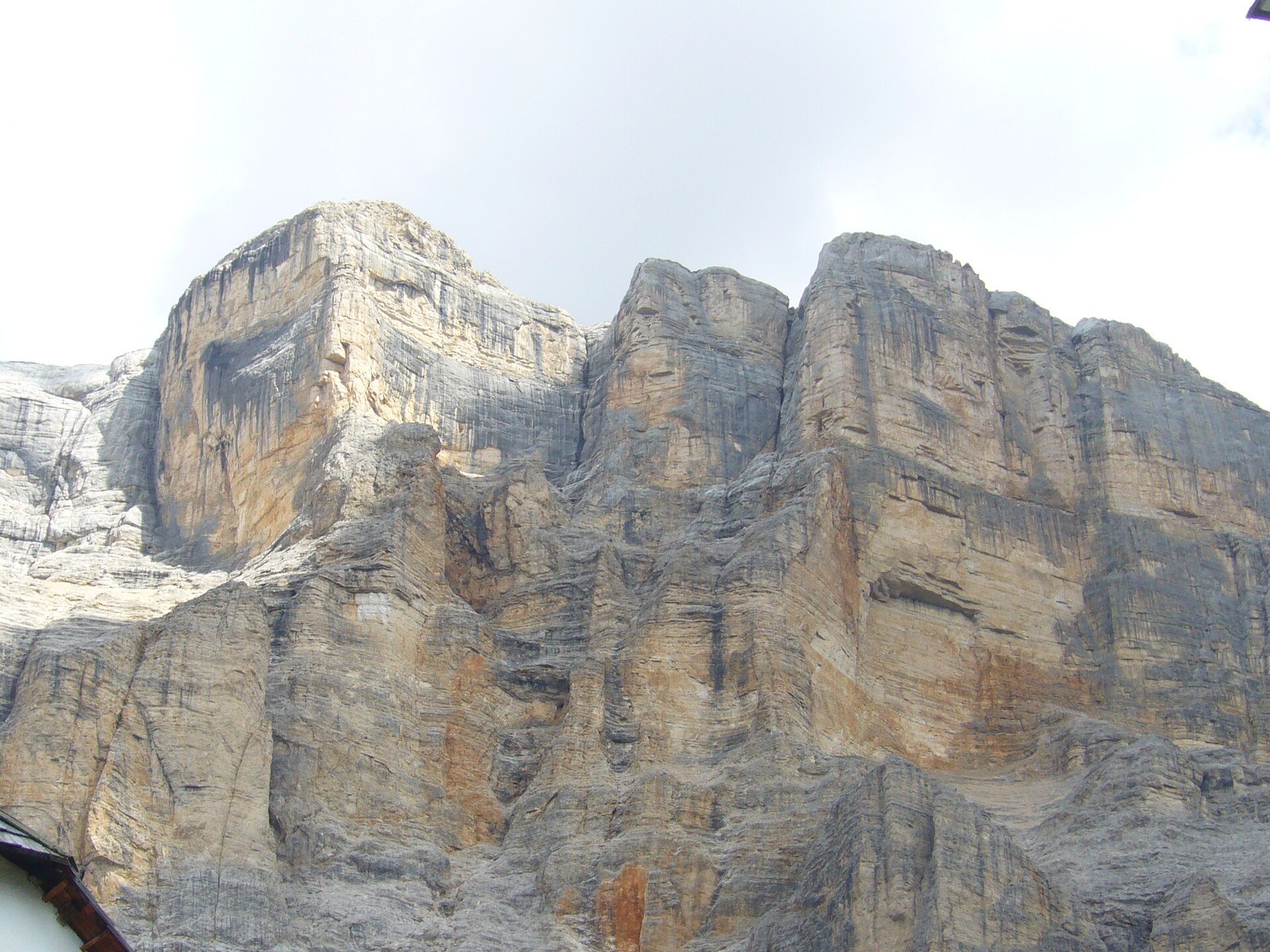
Monte Piana is a broad summit plateau in the Sexten Dolomites above Auronzo di Cadore, famous both for its panorama of the Tre Cime di Lavaredo and for the preserved First World War trenches that cover its top.
Where is Monte Piana?
The mountain rises to 2,324 m and sits directly on the border between the provinces of Belluno and South Tyrol. Auronzo di Cadore lies below its southern slopes, near Lake Misurina and the road that leads toward the Tre Cime di Lavaredo. A smaller northern summit carries its own name, Monte Piano.
How do you get to Monte Piana?
Most visitors start from the car park at Passo Tre Croci or from the area around Lake Misurina, where a paved former military road climbs gently onto the plateau. The route needs no climbing skills — it's a steady uphill walk on a wide track, manageable for families with children and for hikers without advanced fitness. In summer, a shuttle service sometimes covers part of the road, shortening the walk for those who want an easier trip.
What will you see at the top?
The flat summit works as an open-air museum. During the First World War, Monte Piana sat exactly on the front line between Italy and Austria-Hungary, and stretches of trenches, artillery positions and tunnels have survived in remarkably good condition. Information panels along the paths trace the fighting that took place over this small stretch of terrain. From the edge of the plateau opens one of the most photographed views in the Dolomites, taking in the Tre Cime di Lavaredo, the Cadini di Misurina peaks, and Lake Misurina far below.
When is the best time to visit Monte Piana?
The route is at its best from June to September, when the access road and trails are clear of snow and the mountain huts along the way are open. Early summer and September bring fewer crowds than peak August while still offering stable weather for the long-distance views. In winter the whole area is snow-covered and reaching the plateau requires proper mountaineering equipment.
How long does the hike take?
Walking from Passo Tre Croci up to the plateau and back, including time to explore the trenches, typically takes 3 to 5 hours depending on pace and how many stops you make at the viewpoints. That's enough time to walk the marked historical trails at a relaxed speed and take a break at one of the huts along the route.
Frequently asked questions
Is hiking Monte Piana difficult? No — it's a gentle climb on a former military road with no climbing sections, suitable for most reasonably fit visitors, including families with children.
Can you reach the top without hiking the whole way? A shuttle service runs in summer and covers part of the road, but you still need to walk the final stretch on foot to reach the viewpoints and the trenches.
What is there to see besides the views? Well-preserved First World War fortifications — trenches, observation posts and tunnels — with panels explaining the fighting along this section of the Dolomites front.
What's the best starting point from Auronzo di Cadore? Head toward Lake Misurina and Passo Tre Croci; the signed road onto the Monte Piana plateau begins there.
Nearby places

Earn badges for the places you visit
Download NextOnTrip, discover new places and check off your trails.