About this place
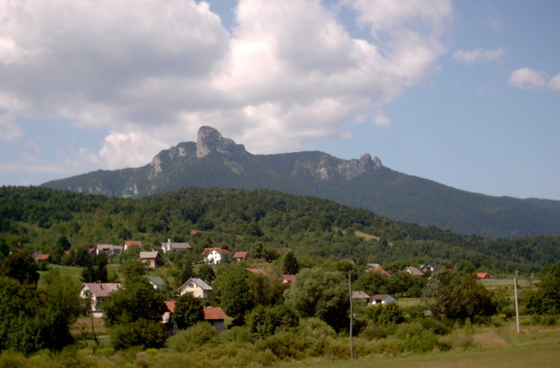
Mirkovica is a mountain peak in the Gorski Kotar region, rising close to the village of Jasenak in Karlovac County, Croatia. It is not among the region's tallest summits, but it stands out as a well-known landmark for locals and visitors exploring this densely forested mountain belt between Karlovac and Rijeka.
Where exactly is Mirkovica located?
The peak sits in the central part of Gorski Kotar, at the meeting point of three forest management areas: Ravna Gora, Vrbovsko, and Gomirje. Together with neighbouring summits — Velika Bukovica (1254 m), Mala Bukovica (1126 m), and Crnjak (1113 m) — it forms part of the ridge marking the south-western boundary of the Vrbovsko area. Its coordinates are roughly 45.3°N, 15.03°E, placing it just a few kilometres from Jasenak.
How high is Mirkovica and what makes it distinctive?
Mirkovica rises to around 1286 metres above sea level. A radio and television transmitter stands on its summit, serving the surrounding towns and villages of Gorski Kotar. This installation is what makes the peak such a recognisable feature on the local skyline, visible from many of the roads and hills nearby.
What can you see around Mirkovica?
Gorski Kotar as a whole is a broad, heavily forested karst plateau with an average elevation of around 800 metres. The landscape around Mirkovica is made up of beech and fir forest typical of this part of Croatia, criss-crossed by forest tracks and paths used by locals and hikers alike. It's a quiet, uncrowded corner of the region — a contrast to the area's better-known high points, Bjelolasica (1534 m) and Risnjak (1528 m), which mark the highest peaks of Gorski Kotar.
How do you get to Mirkovica from Jasenak?
From Jasenak, the approach runs along local forest roads heading toward the shared border of the Ravna Gora, Vrbovsko, and Gomirje areas. Given the wooded, mountainous terrain, it's worth carrying a proper hiking map of Gorski Kotar or an offline navigation app, since mobile signal can be weak deep in the forest. Sturdy hiking boots and weather-appropriate clothing are essential year-round.
When is the best time to visit?
Spring and autumn offer the most comfortable conditions, with mild temperatures and the forests of Gorski Kotar at their most colourful. In summer, the elevation and tree cover keep the area noticeably cooler than the coast, making it a good escape from the heat. In winter, the higher ground around Mirkovica can see snow and more demanding conditions, so trips at that time need proper preparation.
Frequently asked questions
How high is Mirkovica? The peak rises to approximately 1286 metres above sea level.
What is on top of Mirkovica? A radio and television transmitter stands on the summit, serving the surrounding communities of Gorski Kotar.
How far is Mirkovica from Jasenak? It lies just a few kilometres away, in the central part of Gorski Kotar, at the point where the Ravna Gora, Vrbovsko, and Gomirje forest areas meet.
What other peaks are nearby? Immediate neighbours include Velika Bukovica (1254 m), Mala Bukovica (1126 m), and Crnjak (1113 m), while the wider region's highest summits are Bjelolasica (1534 m) and Risnjak (1528 m).
Nearby places

Earn badges for the places you visit
Download NextOnTrip, discover new places and check off your trails.