About this place
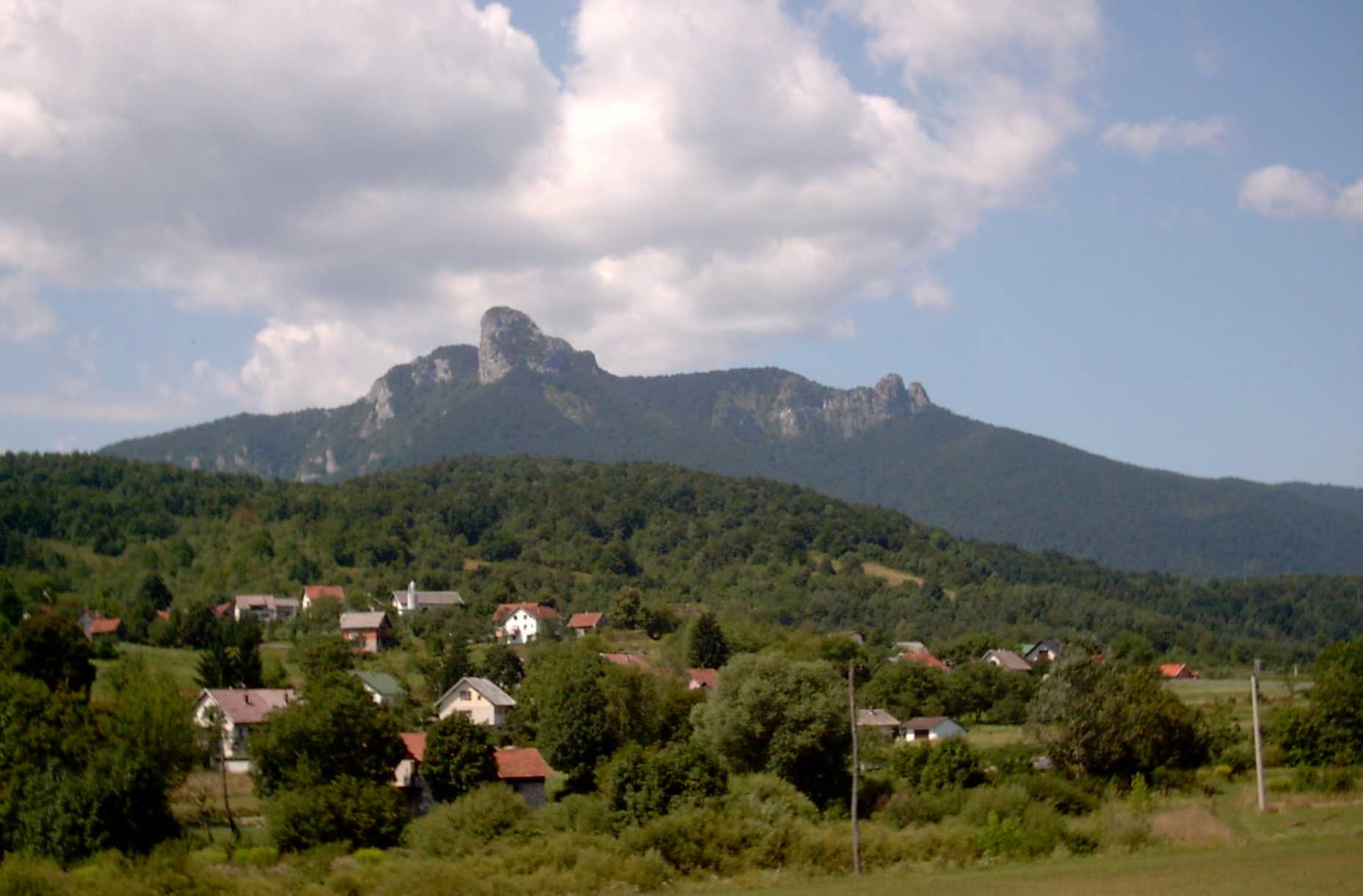
Bijela Kosa is a forested peak near the hamlet of Vujnovići, in the southern part of Gorski Kotar, within Primorje-Gorski Kotar County, Croatia. It rises to 1,289 metres and forms part of the vast, largely uninhabited Velika Kapela range that stretches between Mount Klek and the town of Vrbovsko.
Where exactly is Bijela Kosa?
The peak sits in dense forest, far from any settlement, along the ridge running from Klek toward the Vrbovsko area. Its coordinates are roughly 45.3244 N, 15.0225 E. The nearest landmark is the hamlet of Vujnovići, from which trails lead up into the massif.
What does the summit itself look like?
Bijela Kosa has the shape of a rocky ridge — without markers, it would be hard to tell exactly where the highest point lies. The spot is marked by a metal pipe set into the rock, alongside a mountain club stamp, a detail popular with hikers who collect stamps from summits they've reached. Just below the top, a cleared strip of forest remains from an unfinished ski resort project that was planned here but never built.
What can you see from the top?
The views from Bijela Kosa open toward the north and northwest, with the town of Vrbovsko in the valley below as the clear highlight, framed by the rolling hills of Gorski Kotar. It's a good pick for hikers after a quiet panorama, away from the crowds drawn to the region's better-known peaks.
How do you get to the summit?
Three trails lead to Bijela Kosa. The shortest and easiest starts at a parking spot known as "Okretište Kamiona," from which the summit is only about 2 km away — roughly half an hour on foot. The path begins on a steep forest track, narrows into an overgrown trail through tall beech woods, then reaches the ridge at the forest edge and follows it to the top. The other two, longer routes start directly from Vrbovsko and are usually chosen by hikers planning a full day out among the surrounding hills.
When is the best time to visit?
Given the forested, at times steep terrain, spring, summer, and early autumn are the best seasons, when the paths are dry and easy to follow. In summer, the thick beech canopy provides welcome shade; in autumn, the surrounding hills take on extra colour. In winter or after rain, the trail can turn slippery and harder to trace, since the ridge itself carries little marking.
Who is this hike suited for?
Bijela Kosa suits hikers who enjoy quiet, lightly-trodden forest routes rather than dramatic, well-marked alpine summits. It works well as an addition to a longer stay in Gorski Kotar, close to other popular spots such as Kamačnik Canyon.
Frequently asked questions
How high is Bijela Kosa? The peak reaches 1,289 metres above sea level.
How long does the climb to the summit take? On the shortest route, from the "Okretište Kamiona" parking area, reaching the top takes about half an hour (roughly 2 km).
Is there anything to see at the summit besides the view? Yes — a metal marker set into the rock at the highest point, a mountain club stamp beside it, and traces of an unfinished ski resort project just below the summit.
Where's the best place to start the hike? Hikers after a shorter route start at the "Okretište Kamiona" parking area, while those planning a longer day head out directly from Vrbovsko.
Nearby places

Earn badges for the places you visit
Download NextOnTrip, discover new places and check off your trails.