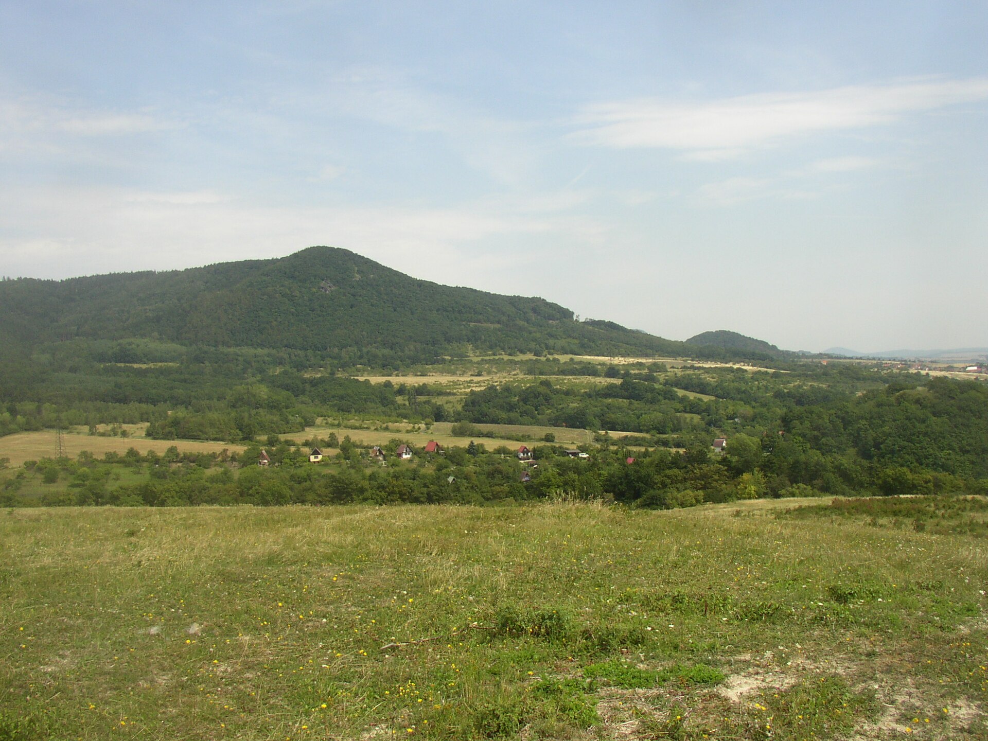
About this place
Křížová hora is a 590-metre volcanic hill rising directly above the village of Pohořany, part of the Žitenice municipality in the Ústí nad Labem region. Its German name, Kreuzberg (also rendered Křížový vrch), still turns up on older regional maps and hints at the hill's old role: a wooded landmark that has sheltered the villages below it for centuries.
Where exactly is Křížová hora?
The hill sits inside the České středohoří (Czech Central Uplands) Protected Landscape Area, roughly 3–4 km from Litoměřice. Geomorphologically it forms the southern spur of the much larger Dlouhý vrch massif. The cadastral border between two villages, Lbín on the western slopes and Pohořany covering the eastern half, runs right across the summit, so the hilltop technically belongs to both.
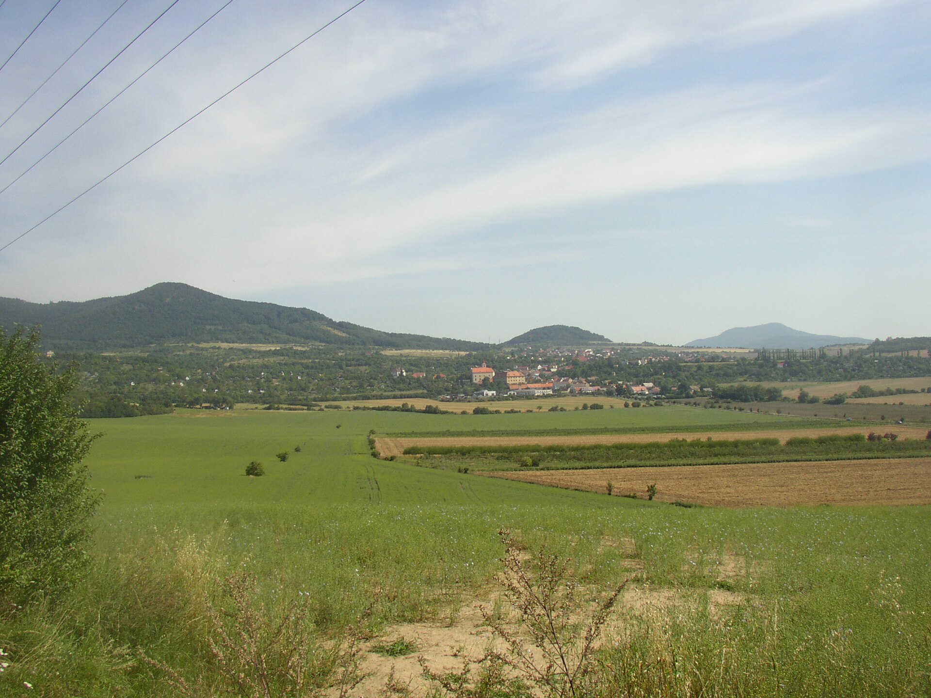
Pohořany itself sits at 310 metres above sea level on the southern slopes of the massif and is shielded from the north by two hills: Křížová hora and the slightly lower Liščína (437 m). The village's first written record dates to 1302, when it belonged to the Litoměřice chapter.
How do you get to the top?
A blue-marked trail crosses the summit, connecting Litoměřice, Žitenice and the Sedla pod Varhoštěm saddle. It makes for an easy day hike either way — starting a loop from Litoměřice or approaching from Žitenice, where a short spur trail branches off straight to the top. Nearby runs the Hibsch Educational Trail (Hibschova naučná stezka), named after the geologist who studied the region's volcanic past; it links Křížová hora with the neighbouring Dlouhý vrch through information panels explaining how the local rock formations came to be.
What's waiting at the summit?
The top opens onto a wide clearing with a large tourist shelter and a fire pit — a natural stopping point roughly halfway along the route. Just below, on the south-eastern and south-western slopes near Krkavčí (Kavčí) vrch, stand tephrite rock walls up to 30 metres tall. Their striking vertical columnar jointing is a direct record of the hill's volcanic origin: molten tephrite cooled here into regular, many-sided columns, a pattern repeated at several other sites across the Czech Central Uplands.
Climbing and views
Those same rock walls form one of the region's established climbing areas, drawing climbers after short, technical routes on volcanic rock away from the busier crags elsewhere in Bohemia. Anyone chasing a view rather than a route should instead head for the nearby Laffit Viewpoint (Laffitova vyhlídka), which opens onto Litoměřice and the Elbe valley below — a useful counterpoint to the closed, forested summit of Křížová hora itself.
When's the best time to visit?
Spring and autumn suit the hike best. The forest on the slopes keeps things shaded in summer, but visibility from the Laffit Viewpoint tends to be sharpest in the cooler months. The climbing walls hold up through most of the season as long as the rock stays dry — wet tephrite gets slippery fast.
Frequently asked questions
Is there a lookout tower on Křížová hora? No. Unlike some other Czech hills sharing the same name, this one has no observation tower — the views come from the nearby Laffit Viewpoint instead.
How long does the climb to the top take? From Žitenice it's a walk of a couple of hours at most, on a moderate trail suitable for families with children.
Can beginners climb the rocks here? The walls near Krkavčí vrch suit climbers with at least basic technical experience — it's not the place for a first-ever climbing session without an instructor.
Where does the hill's name come from? Křížová hora ("Cross Hill", German Kreuzberg) refers to a cross that once stood on the summit — a naming pattern shared by dozens of hills across the Czech Republic, which is exactly why this particular hill near Pohořany is easy to confuse with the many other Křížová hory scattered around the country.
Nearby places

Earn badges for the places you visit
Download NextOnTrip, discover new places and check off your trails.