About this place
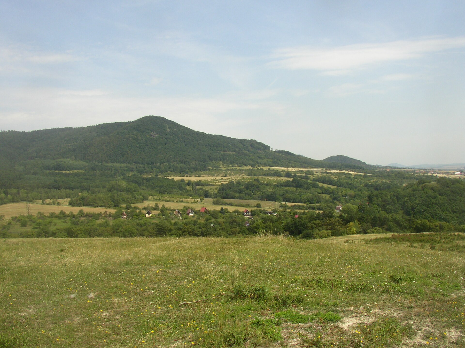
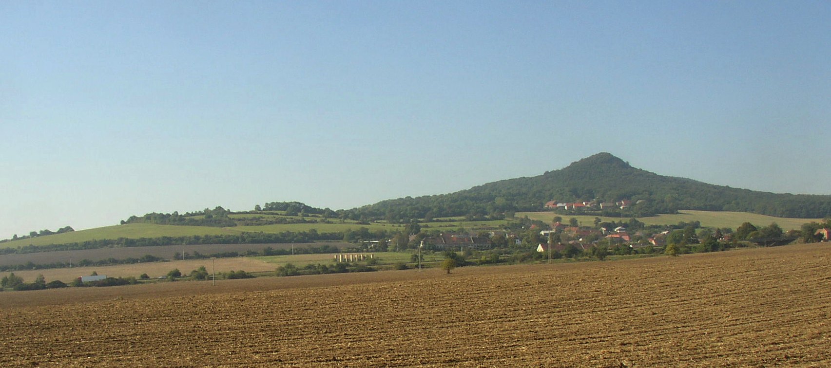
Radobýl is a striking basalt hill in the Central Bohemian Uplands, rising above the right bank of the Elbe River right on the boundary between the municipalities of Žalhostice and Litoměřice in the Ústí nad Labem Region of the Czech Republic. At just 399 meters above sea level, it isn't a giant, but its steep, almost cliff-like slopes and the huge metal cross crowning its bare summit make it one of the most recognizable landmarks in this part of the country.
What gives the hill its distinctive shape?
Radobýl is composed largely of basalt, a volcanic rock that cools into characteristic column-like formations. This geology gives the hill its rugged, sharply defined profile. The basalt deposits were once mined here, and the abandoned quarry left behind after mining ceased has become one of the most visually striking features on the hill's slope, exposing the layered rock structure to view.
Why is the old quarry protected today?
The disused quarry area, together with the surrounding parts of the hill, is protected as the Radobýl Nature Monument. The reason for this protection isn't the mining history itself, but the rich rock steppe flora that has developed on the sun-exposed, dry, rocky slopes. Habitats like this are uncommon in the Czech Republic, and the combination of steep stony ground with a warm microclimate favors plant species adapted to harsh, arid conditions rather than typical woodland or meadow vegetation.
What can you see from the summit?
Radobýl is a popular hiking destination, and the effort of reaching the top is rewarded with an exceptional view. The summit is bare and treeless, offering an almost complete 360-degree panorama over the central part of the Central Bohemian Uplands. From this vantage point, visitors can pick out Litoměřice, Terezín, and Lovosice — three nearby towns each with a very different character, from a historic town center to a former fortress town. The large metal cross standing on the summit is visible from the surrounding valleys and has effectively become the hill's unofficial symbol.
Where exactly is Radobýl located?
The hill lies in the Ústí nad Labem Region, on the boundary between the cadastral territories of Žalhostice and Litoměřice, within the Central Bohemian Uplands — a region known for its many steep, volcanic-origin hills that rise abruptly from the surrounding lowlands. Radobýl towers directly above the village of Žalhostice on the right bank of the Elbe, reinforcing its dominant presence in the local landscape.
Frequently asked questions
How high is Radobýl? The hill reaches an altitude of about 399 meters above sea level.
What is the hill made of? Mostly basalt, a volcanic rock that forms distinctive column-shaped structures.
Is there anything to see at the summit besides the view? Yes, a large metal cross stands on the bare summit and is visible from the surrounding area.
What protection status does the former quarry have? It is protected as a nature monument, safeguarding the rock steppe flora that grows there.
Which towns can be seen from the top? The panorama from Radobýl includes Litoměřice, Terezín, and Lovosice.
Nearby places

Earn badges for the places you visit
Download NextOnTrip, discover new places and check off your trails.