About this place
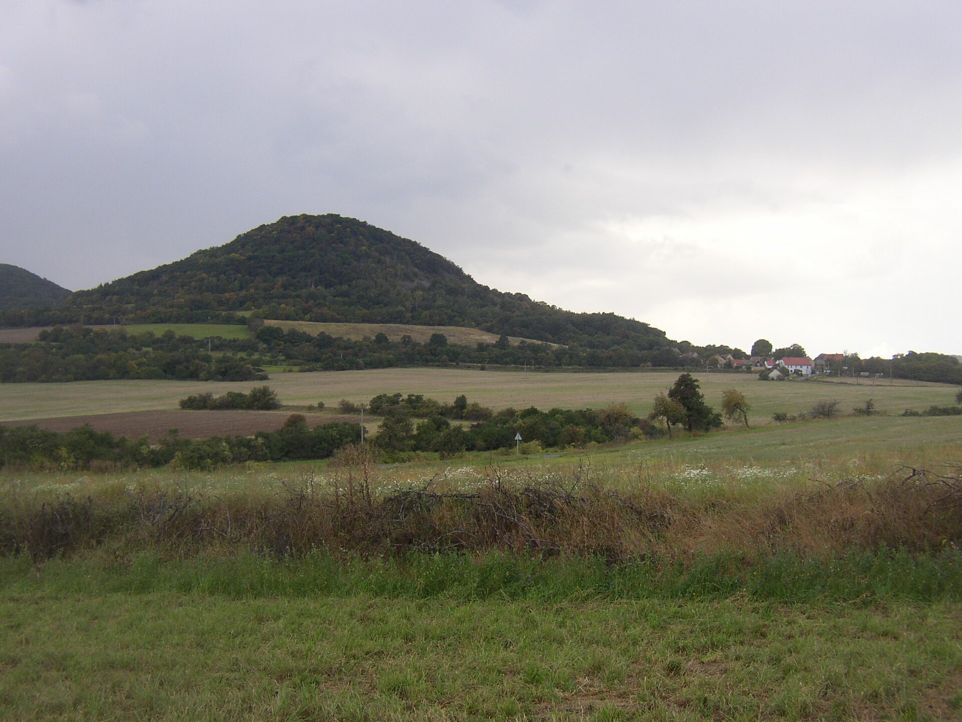
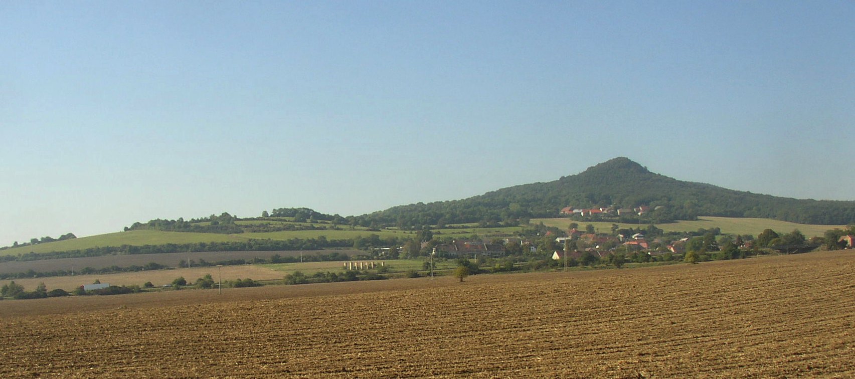
Lovoš is a cone-shaped mountain in the Bohemian Central Uplands (České středohoří), rising right above the village of Oparno, about 2 kilometers from the town of Lovosice, in the Litoměřice District of the Ústí nad Labem Region in the Czech Republic.
What makes Lovoš stand out among the surrounding hills?
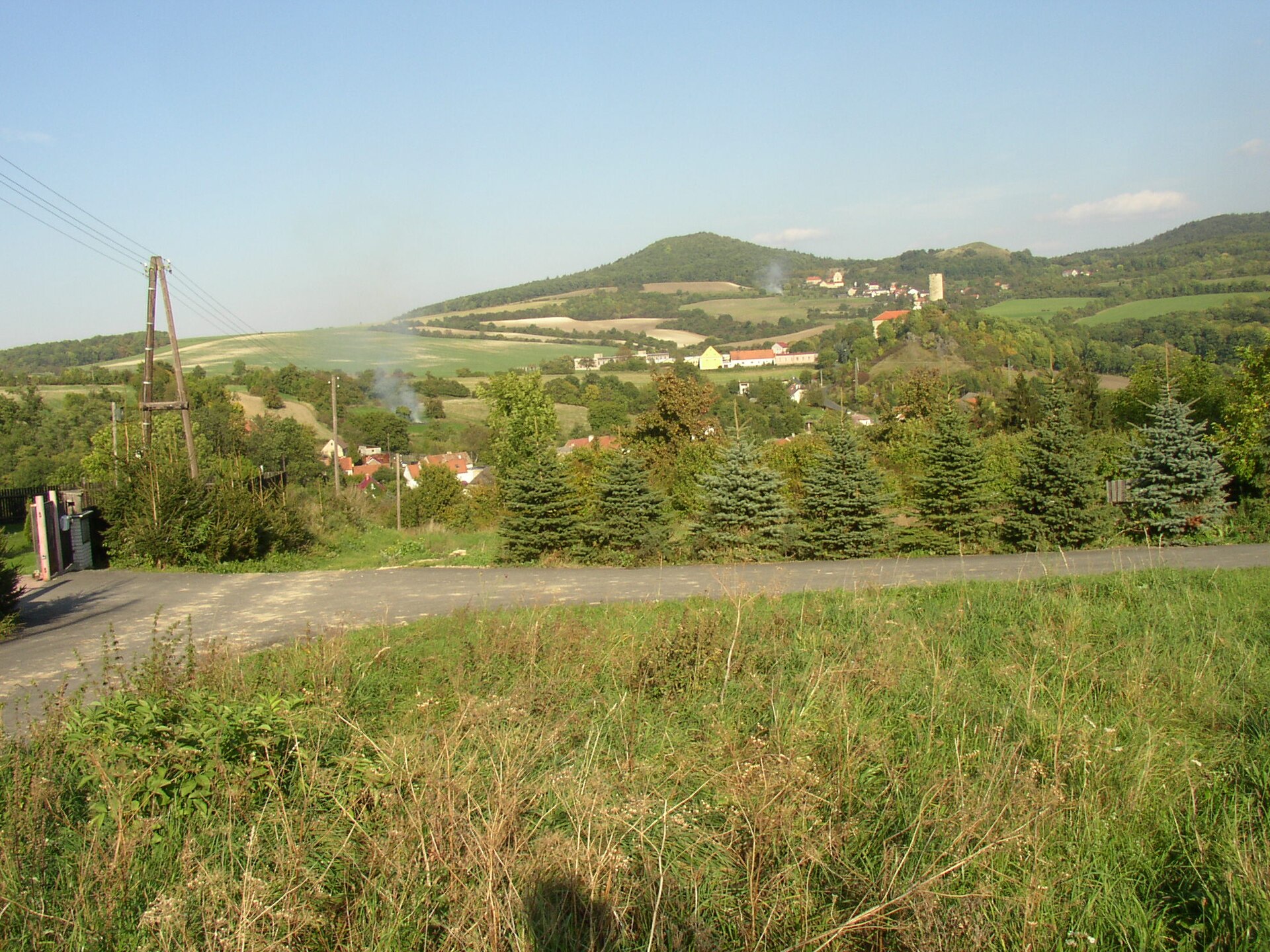
The Bohemian Central Uplands are a volcanic mountain range made up of dozens of cone- and dome-shaped peaks scattered on both sides of the Elbe valley. Lovoš is one of the most recognizable among them – its regular, almost symmetrical cone is visible from a considerable distance, whether you're driving the highway or riding the railway line that runs through the Elbe valley, or standing on one of the neighboring hills. It's this distinctive shape, rather than sheer height, that has made Lovoš one of the visual symbols of the whole range.
How do you get to Lovoš?
Most visitors start from Lovosice, a town on the Elbe River well connected by rail and main roads to both Ústí nad Labem and Litoměřice. Marked hiking trails lead from the town center to the summit, and the climb typically takes one to two hours. An alternative starting point is the village of Oparno, which sits at the foot of the mountain – the approach from there is shorter but steeper. Because the terrain is volcanic and rocky, sturdy hiking boots are recommended, especially after rain.
What will you see on the way up and from the top?
The trail climbs through deciduous forest typical of the Bohemian Central Uplands, past frequent outcrops of volcanic rock. The mountain's silhouette, clearly visible from the valley floor, is one of the most photographed features of this part of the Czech Republic – the conical shape makes Lovoš instantly recognizable against the flat Elbe valley and the town of Lovosice below. From the summit and the upper slopes, wide views open up over the river valley and the neighboring peaks of the range, which is why Lovoš is a popular destination for day hikes among both local residents and travelers passing through the Elbe valley.
When is the best time to visit?
Spring and autumn generally offer the clearest visibility from the trails and comfortable temperatures for a longer walk. In summer, it's worth setting out early to avoid the midday heat on the exposed, sun-facing slopes. In winter, the rocky paths can become slippery, so extra caution is needed near the top – though a snow-covered Lovoš is an especially striking sight from the valley below.
Who is this hike for?
Lovoš suits families with children who take the gentler approach from Lovosice, as well as more experienced hikers looking for a short but rewarding trail with a real payoff at the top. Thanks to its proximity to the town and well-marked paths, the mountain is a frequent stop on day trips around the Bohemian Central Uplands, often combined with a visit to Lovosice itself or nearby Litoměřice.
Frequently asked questions
How far is Lovoš from Lovosice? The summit lies about 2 kilometers from the town center, so the hike can start directly from Lovosice without needing to drive anywhere first.
Is climbing Lovoš difficult? No previous mountain experience is required, but sturdy hiking shoes are recommended because of the rocky volcanic terrain and some steeper sections.
What can you see from the top? The upper slopes offer views over the Elbe valley, the town of Lovosice, and the neighboring, equally distinctive peaks of the Bohemian Central Uplands.
Is there parking near Lovoš? Yes, trailheads are accessible both from Lovosice and from the village of Oparno, where parking is available before setting off on the hike.
Nearby places

Earn badges for the places you visit
Download NextOnTrip, discover new places and check off your trails.