About this place
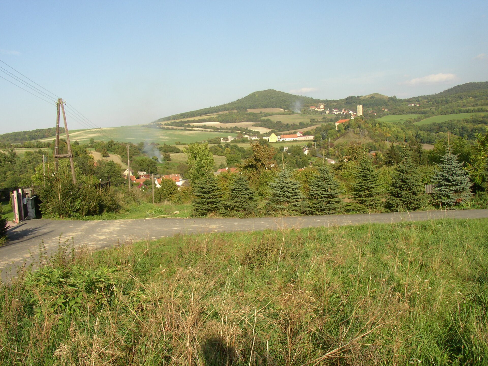
Sutomský vrch is a basalt hill in the Bohemian Central Highlands (Česká Středohoří), rising within the municipality of Třebenice in the Ústí nad Labem region, a few kilometres northwest of the town itself. It reaches roughly 506 metres above sea level and belongs to a cluster of volcanic hills that ring a small basin known as the Borečská basin.
How did this hill form?
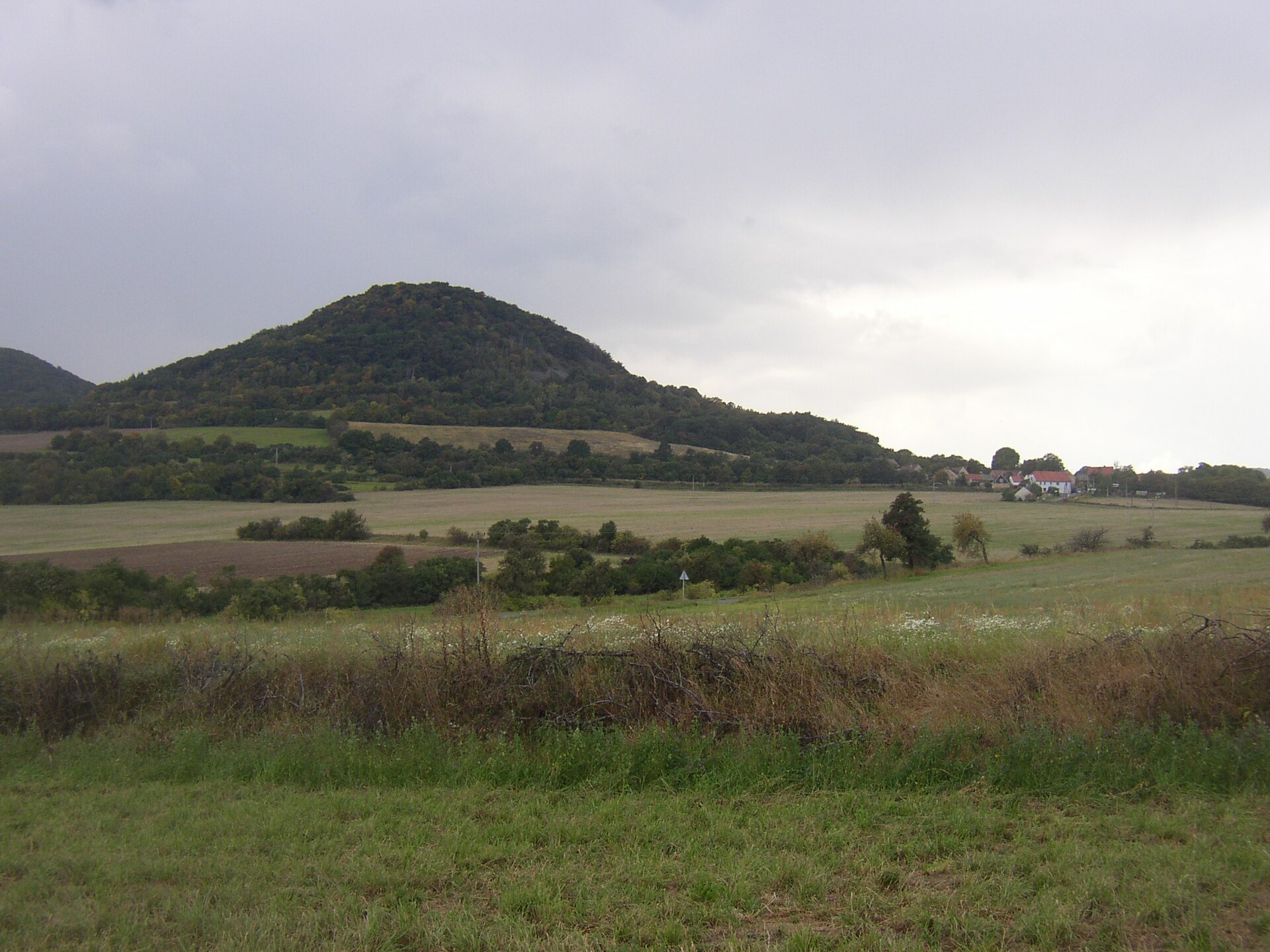
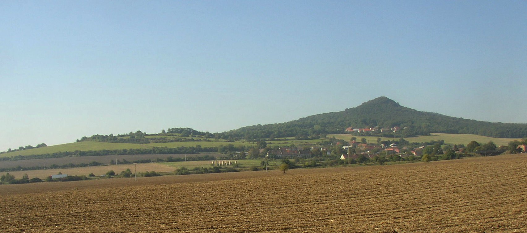
Sutomský vrch is a volcanic neck — the exposed plug of an ancient volcanic vent, built from olivine basalt. It formed during the Tertiary period, when molten rock solidified inside a volcanic conduit; the softer surrounding sedimentary rock eroded away over millions of years, leaving the harder volcanic core standing proud of the landscape. This process produced the whole cluster of steep, dome-shaped hills scattered around Třebenice — Sutomský vrch sits alongside neighbours such as Ovčín, Boreč, and the Jezerka ridge, together enclosing the Borečská basin.
Warm air from the rock — what is microexhalation?
One of the more curious phenomena tied to this group of hills is microexhalation: air warms up inside the hill's fracture systems and is later released through openings at the surface. The effect means that even in winter, warm air can be felt escaping from certain cracks, sustaining a small local microclimate that favours heat-loving plant life around those openings. Sutomský vrch, like the better-known nearby Boreč, is among the hills where this phenomenon has been noted.
What grows on its slopes?
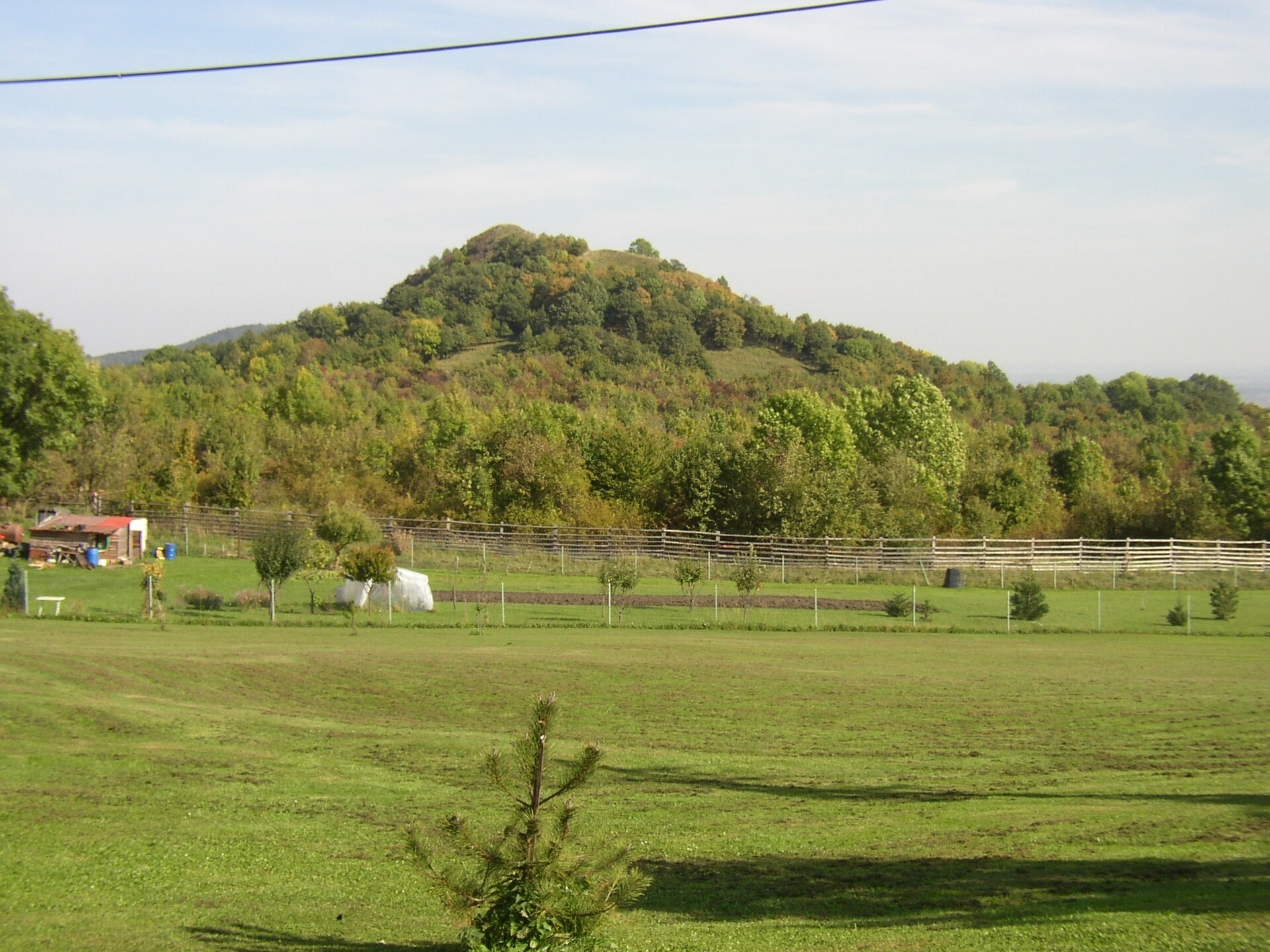
The hill is largely covered by deciduous forest, dominated by oak species typical of thermophilic (heat-loving) woodland communities. The sun-exposed, south-facing slopes typical of these basalt hills in the Bohemian Central Highlands favour plants that need warmth and light, making the area a point of interest for anyone curious about the region's natural history.
A viewpoint with history
In 1844, the German naturalist and explorer Alexander von Humboldt climbed the hill during his travels through Central Europe. At the time, the summit of Sutomský vrch was valued as a viewpoint offering far-reaching views over the surrounding Central Highlands. Today the summit has become heavily overgrown with trees, so those open panoramas have largely disappeared — the hill now serves more as a walking destination and a point of geological interest than as a lookout.
Getting to Sutomský vrch
The hill lies within the municipality of Třebenice, a few kilometres from the town centre, surrounded by other hills of the Bohemian Central Highlands. The area is popular with hikers exploring this cluster of volcanic hills, and trails through the nearby villages connect Sutomský vrch with neighbouring landmarks such as Boreč and the Jezerka ridge.
Frequently asked questions
How tall is Sutomský vrch? The hill reaches an elevation of roughly 506 metres above sea level.
Can you see the surrounding landscape from the top? You once could — in the 19th century it was valued as a viewpoint — but the summit is now largely overgrown with trees, so open views are limited today.
What is microexhalation? It's the release of warm air from fracture systems inside the hill, a phenomenon observed in this group of basalt hills in the Bohemian Central Highlands.
What is the hill made of? Sutomský vrch is a volcanic neck built of olivine basalt, the remnant of an ancient volcanic vent.
Are there similar hills nearby? Yes — Sutomský vrch neighbours the hills Ovčín and Boreč as well as the Jezerka ridge, together forming a ring of hills around the Borečská basin.
Nearby places

Earn badges for the places you visit
Download NextOnTrip, discover new places and check off your trails.