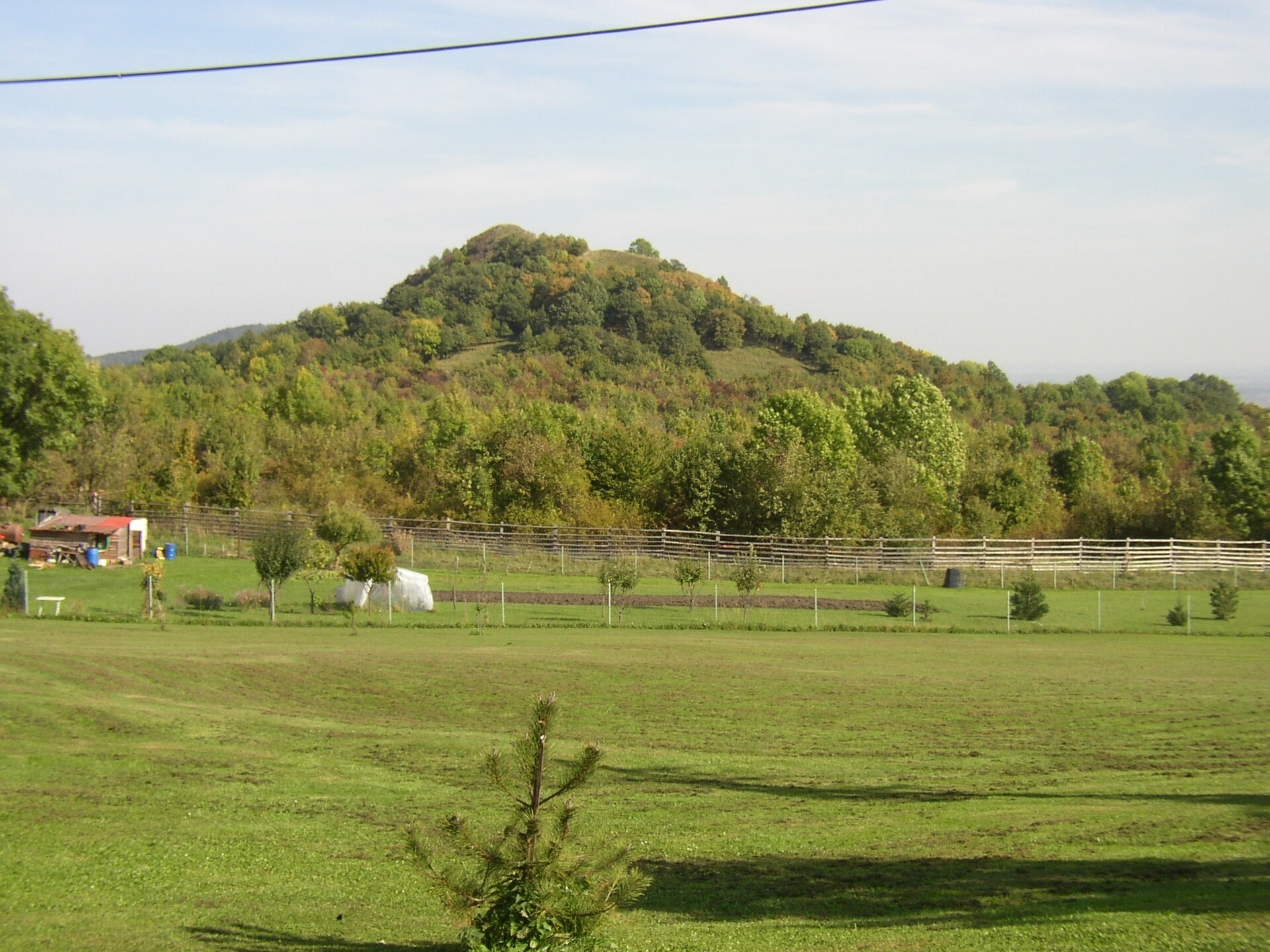
About this place
Plešivec is a solitary basalt peak in the Bohemian Central Uplands (České středohoří), rising above the village of Vlastislav in the Litoměřice district, roughly five kilometers northwest of Litoměřice. It reaches 510 meters above sea level and has been protected as a nature reserve since 1966, covering nearly 33 hectares.
Where does the name come from?
Plešivec is a volcanic plug — the remnant of a basalt vein that erosion exposed from the surrounding sandstone. Its southern slope is covered by an extensive scree field, likely the largest of its kind in the whole of the Bohemian Central Uplands. Seen from a distance, the bare rocky slope resembles a bald head, which gave the hill its Czech name (from "plešatý," meaning bald). Locally it also goes by the nicknames "Ledový vrch" (Icy Hill) and, in folk speech, "Jordán."
What will you see there?
The hill's biggest curiosity is its cold-related phenomena: the slope holds ice pits and small pseudo-karst caves, among the best known of their type in the region. Below the summit, an ice-cold spring maintains a constant water temperature of 5 to 7°C year-round, regardless of season. From the scree field near the top, a wide panorama opens up, taking in Radobýl, Milešovka, and other peaks of the Bohemian Central Uplands.
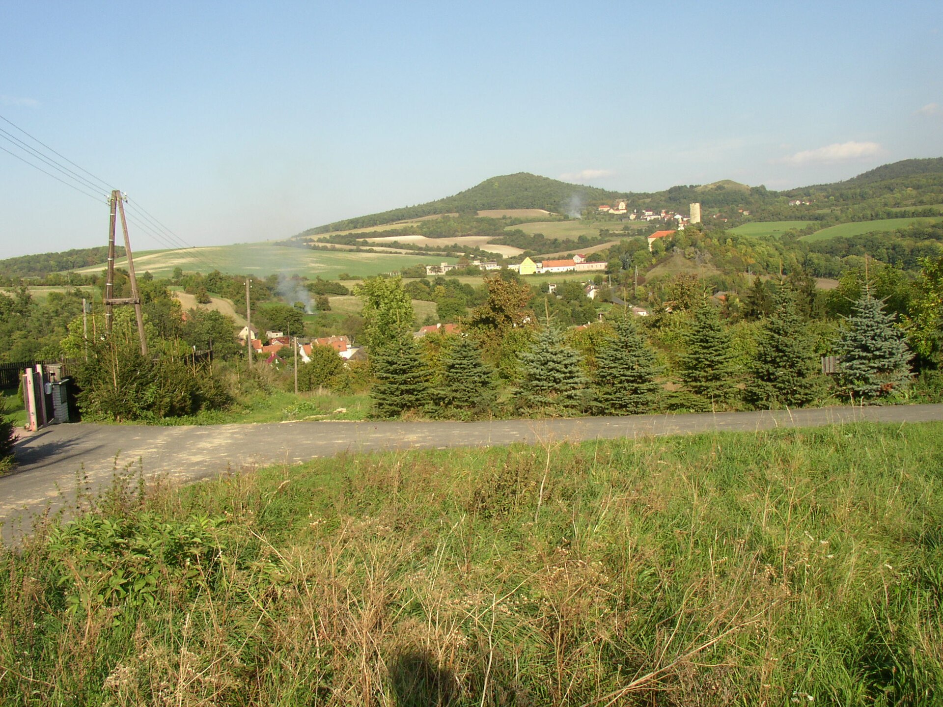
The village of Vlastislav itself, at the foot of Plešivec, is a small settlement on the Modla stream with about 165 residents. Above the village, on a rocky hill, stand the ruins of Skalka Castle — a Gothic stronghold built in the first half of the 14th century, first mentioned in writing in 1357 and devastated by Swedish troops in 1639. Only its impressive bergfried tower has survived, still dominating the surrounding landscape today.
How to get there?
A blue-marked trail leads to the summit of Plešivec from the village of Kamýk. The route passes a small roadside chapel before climbing through the scree field to the top, where a rest area awaits hikers. Since the hill is a protected nature reserve, it's best to stay on the marked path throughout the climb.
When to visit?
Spring and autumn offer the clearest views and comfortable temperatures for walking across the rocky terrain. In summer, morning or late-afternoon visits are recommended to avoid the heat on the exposed, stony slope.
Frequently Asked Questions
How high is Plešivec? The peak reaches 510 meters above sea level and has been a protected nature reserve since 1966.
Can you explore caves on Plešivec? The slope contains small pseudo-karst caves and ice pits, but these are natural features rather than facilities open for touring — visitors can observe them from the marked trail.
What else is worth seeing near Plešivec? Right next to it, above the village of Vlastislav, stand the ruins of the Gothic Skalka Castle, with its preserved bergfried tower dating from the first half of the 14th century.
What's the best way up to the summit? The most convenient approach follows the blue trail from Kamýk, passing a chapel and the scree field before reaching the viewpoint at the top.
Nearby places

Earn badges for the places you visit
Download NextOnTrip, discover new places and check off your trails.