About this place
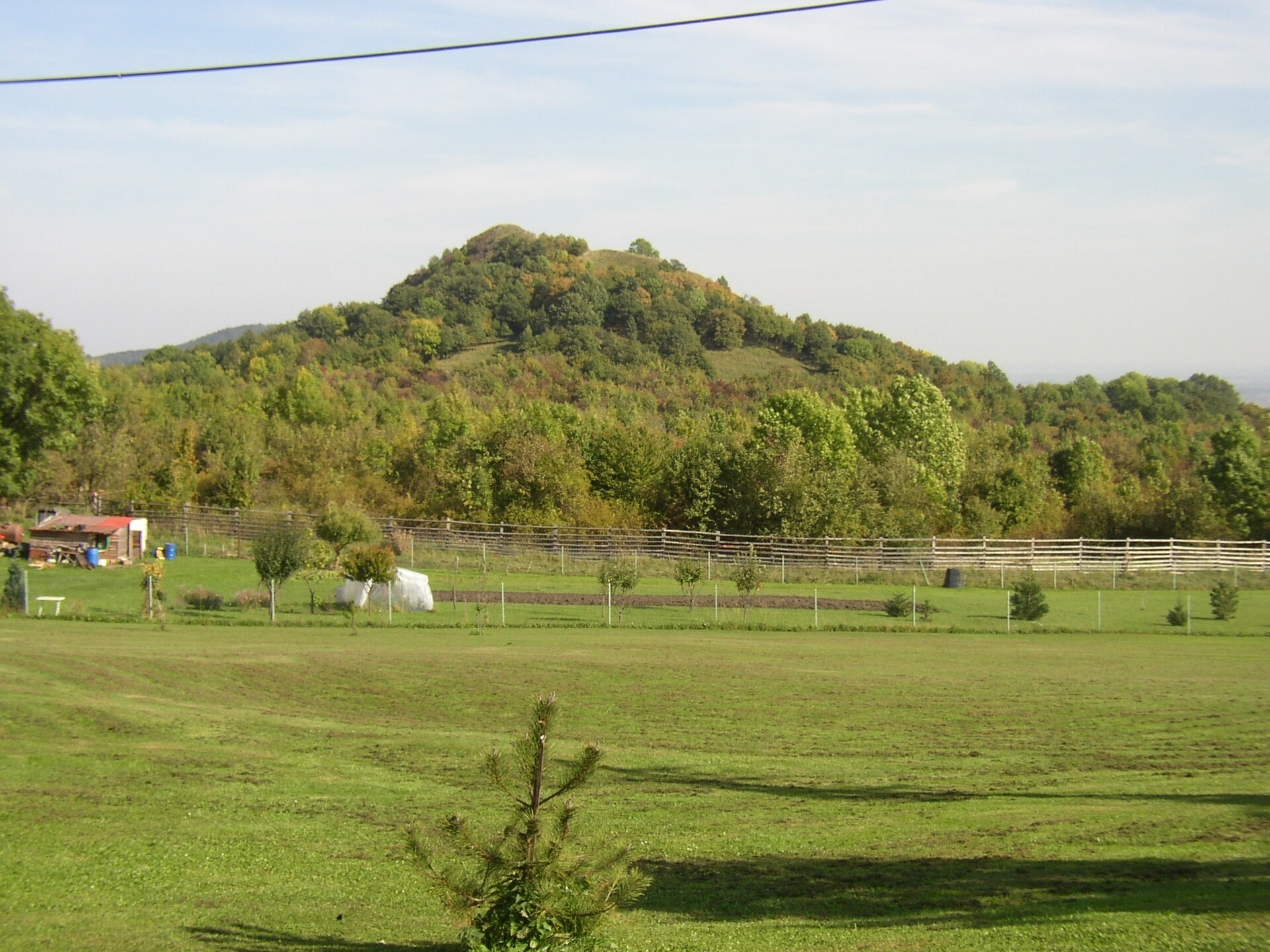
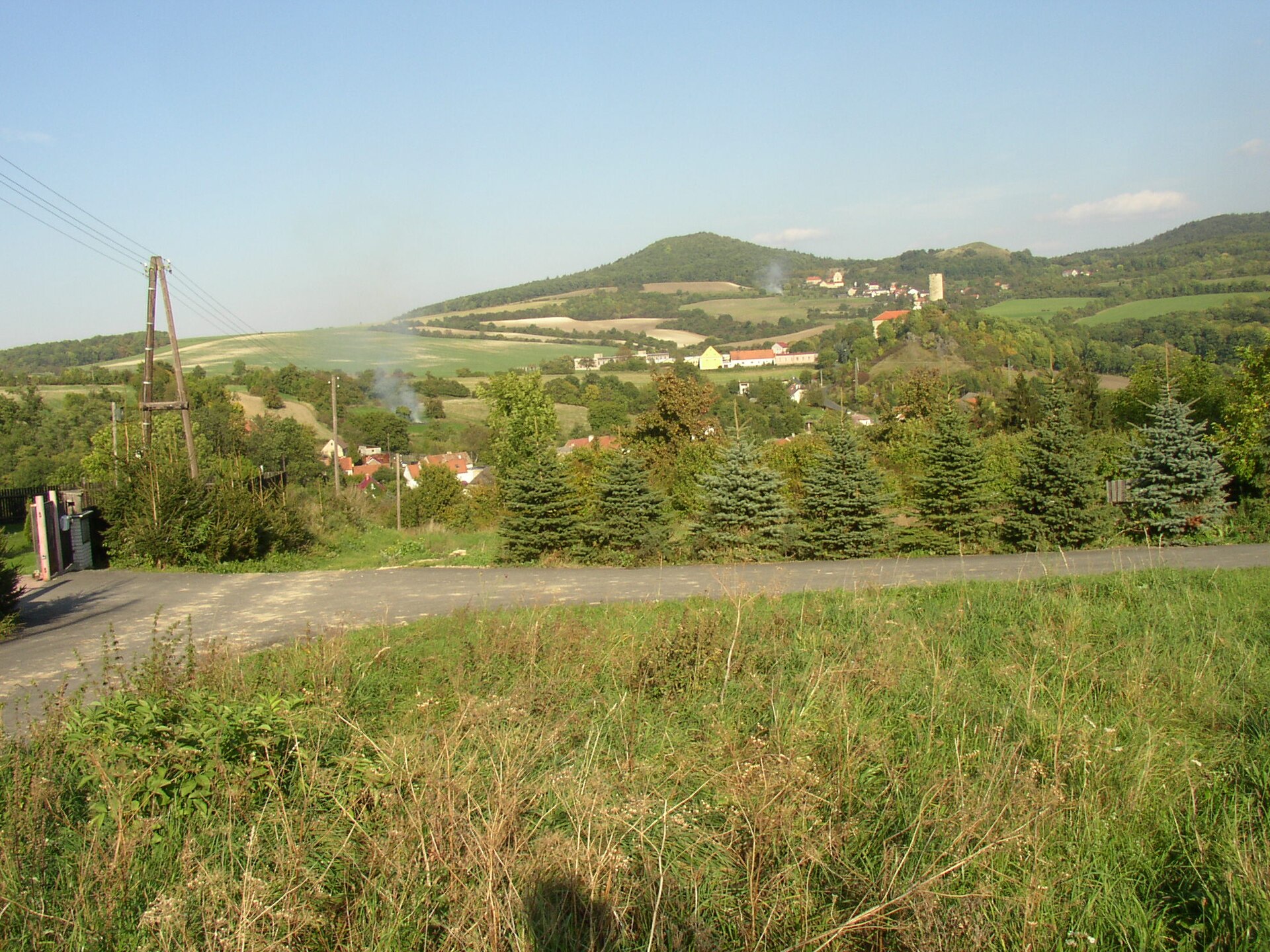
Solanská hora is a wooded mountain massif in the České středohoří (Czech Uplands), rising directly above the village of Chrášťany, part of the Podsedice municipality in the Litoměřice district. The summit is one of the region's lesser-known viewpoints — no marked trail leads there, yet it remains a favourite with hikers who prefer quiet ridges and wide panoramas over crowded routes.
Where is Solanská hora located?
The massif stretches from west to east and comprises three summits. The highest, Solanská hora itself, reaches 638 metres above sea level; the middle peak, Dlouhý vrch, rises to 618 metres; and the eastern peak, Třtín, tops out at 601 metres. The whole ridge stands above the town of Lovosice, on the southern edge of the České středohoří, roughly a kilometre southeast of the village of Skalice. Chrášťany lies right at the foot of the massif, on its south-southeastern slopes, less than two kilometres northwest of Podsedice.
How do you get to the top?
The easiest approach starts from the road connecting Skalice and Štěpánov, which brings you closest to the base of the hill. There is no officially waymarked hiking trail to the summit itself — the ascent follows a worn footpath through the forest. It is worth carrying a map or GPS and being ready for a bit of route-finding along the way. This is a hike for people who enjoy reading the terrain themselves rather than following a signposted line from start to finish.
What will you see at the summit?
The climb is rewarded by the view from the bare, treeless plateau at the top. In summer it is covered with thermophilic grasses and wildflowers, typical of the warm, sun-exposed slopes that are common throughout the České středohoří. From the open summit dome, the panorama takes in the neighbouring peaks of Blešno and Kuzov, the western part of the České středohoří, the foothills of the Ore Mountains (Krušné hory), and on clear days the more distant Doupovské and Krušné mountain ranges. It is the kind of view that pays back exactly the effort of getting there without a convenient marked path.
When is the best time to visit?
Late spring and summer are the best seasons, when the summit plateau bursts into flowering steppe vegetation and visibility across the České středohoří tends to be at its clearest. Autumn brings the colours typical of the region's deciduous forests, which landscape photographers will appreciate as well. In winter, the unmarked forest ascent can become more technically demanding, so it is worth checking snow conditions before setting out.
Frequently asked questions
Is there a marked trail to Solanská hora? No. There is no official waymarked hiking trail to the summit. The ascent follows a worn forest footpath, most commonly starting from the road between Skalice and Štěpánov.
How high is Solanská hora? The highest point of the massif reaches 638 metres above sea level. The other two summits along the same ridge are Dlouhý vrch (618 m) and Třtín (601 m).
Where is the best starting point for a hike? The area around the Skalice–Štěpánov road is the most convenient starting point, being closest to the base of the mountain. Chrášťany, sitting on the massif's southeastern slopes, serves as a natural landmark when planning the route.
What can you see from the summit? The treeless summit offers views of the nearby peaks Blešno and Kuzov, the western České středohoří, the foothills of the Ore Mountains, and, in good visibility, the Doupovské and Krušné mountain ranges further away.
Nearby places

Earn badges for the places you visit
Download NextOnTrip, discover new places and check off your trails.