About this place
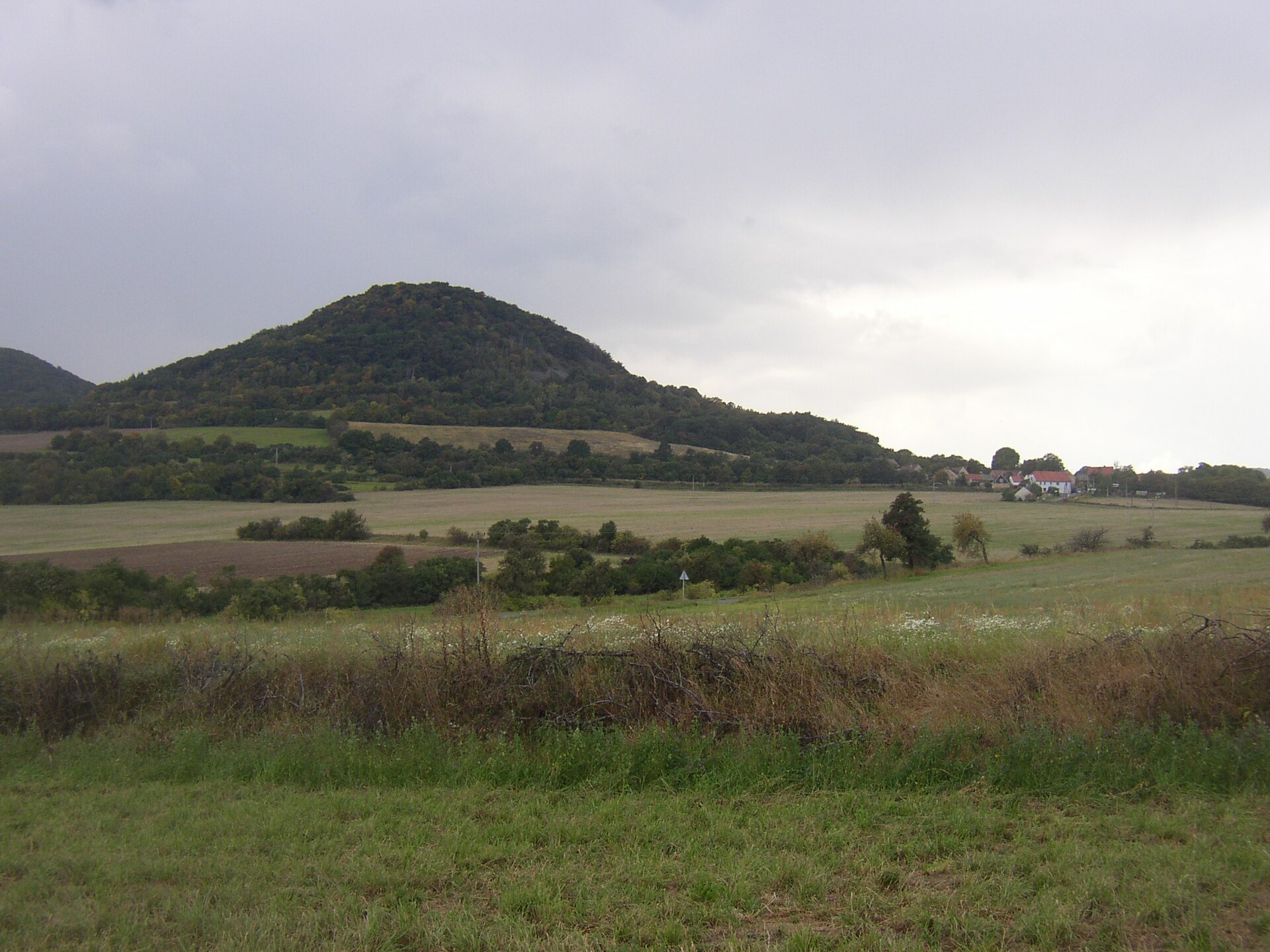
Kletečná is a volcanic hill above Bílý Újezd, a hamlet in the Velemín municipality in the Czech Central Uplands (České Středohoří), and ranks among the range's higher summits.
Where is Kletečná located?
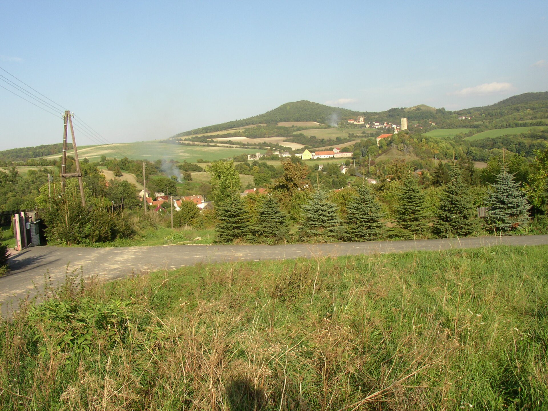
The hill rises to 706 metres above sea level, roughly 8 km northwest of Lovosice and just 1 km from the village of Velemín. Bílý Újezd itself is a small settlement at the southern foot of the neighbouring Liščí vrch (423 m), and together with the hamlets of Hrušovka, Kletečná and Zbožná it forms one of the local parts of Velemín. The first written record of Bílý Újezd dates back to 1276, though the village's name in its current form only appears in documents from 1700.
How do you get to the summit?
A green-marked hiking trail passes near the hill, but it skirts the slope rather than climbing to the top. Reaching the summit means following unmarked forest paths that wind steeply upward through the woods. Along the way, hikers pass small stone cairns — traditional "men's stones" piled up by generations of walkers. The climb calls for reasonable fitness and isn't suited to visitors with limited mobility, though the area itself is open year-round and free to visit.
What will you find at the top?
A stone cairn marks the summit, an informal landmark where hikers typically pause for a rest. The best views, however, open up not from the very top but from gaps in the tree line along the approach, where the landscape stretches toward Košťálov hill and the striking peak of Ostrý — one of the best-known silhouettes in the Czech Central Uplands. Kletečná's volcanic origin is visible in its steep, rocky flanks, a shape typical of the conical hills scattered across this region.
What else is worth knowing about the area?
Near the summit stands a monument to Emperor Joseph II, erected in 1881 — today a small historical curiosity that recalls a time when the hills of the Central Uplands were a favourite destination for townspeople from nearby towns out for a walk. Bílý Újezd itself also preserves a manor house dating from the first half of the 18th century, adding a note of residential architecture to the local history. The wider region is known for its landscape of volcanic cones, long favoured by hikers looking for something quieter than the area's more crowded summits.
When should you visit?
The hill can be visited at any time of year, but spring and autumn are the most rewarding seasons: thinner foliage reveals more of the views, and cooler temperatures make the steep approach easier than in the summer heat. It's worth setting aside a few hours to combine the climb with a walk through Velemín village and its surrounding hamlets.
Frequently asked questions
Is there a marked trail to the summit of Kletečná? No — a green hiking trail runs nearby, but it bypasses the slope rather than leading to the top. Reaching the summit requires unmarked forest paths.
How high is Kletečná? The hill reaches 706 metres above sea level, making it one of the taller summits in the Czech Central Uplands.
Is the climb up Kletečná difficult? The ascent requires decent fitness because of the steep, rocky, volcanic slopes, and the route isn't suitable for visitors with limited mobility.
What can you see from the summit? A stone cairn built up by generations of hikers, plus — from gaps near the top — views toward Košťálov hill and the Ostrý peak.
Nearby places

Earn badges for the places you visit
Download NextOnTrip, discover new places and check off your trails.