About this place
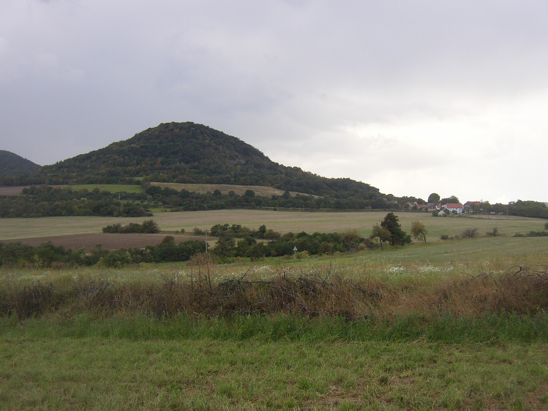
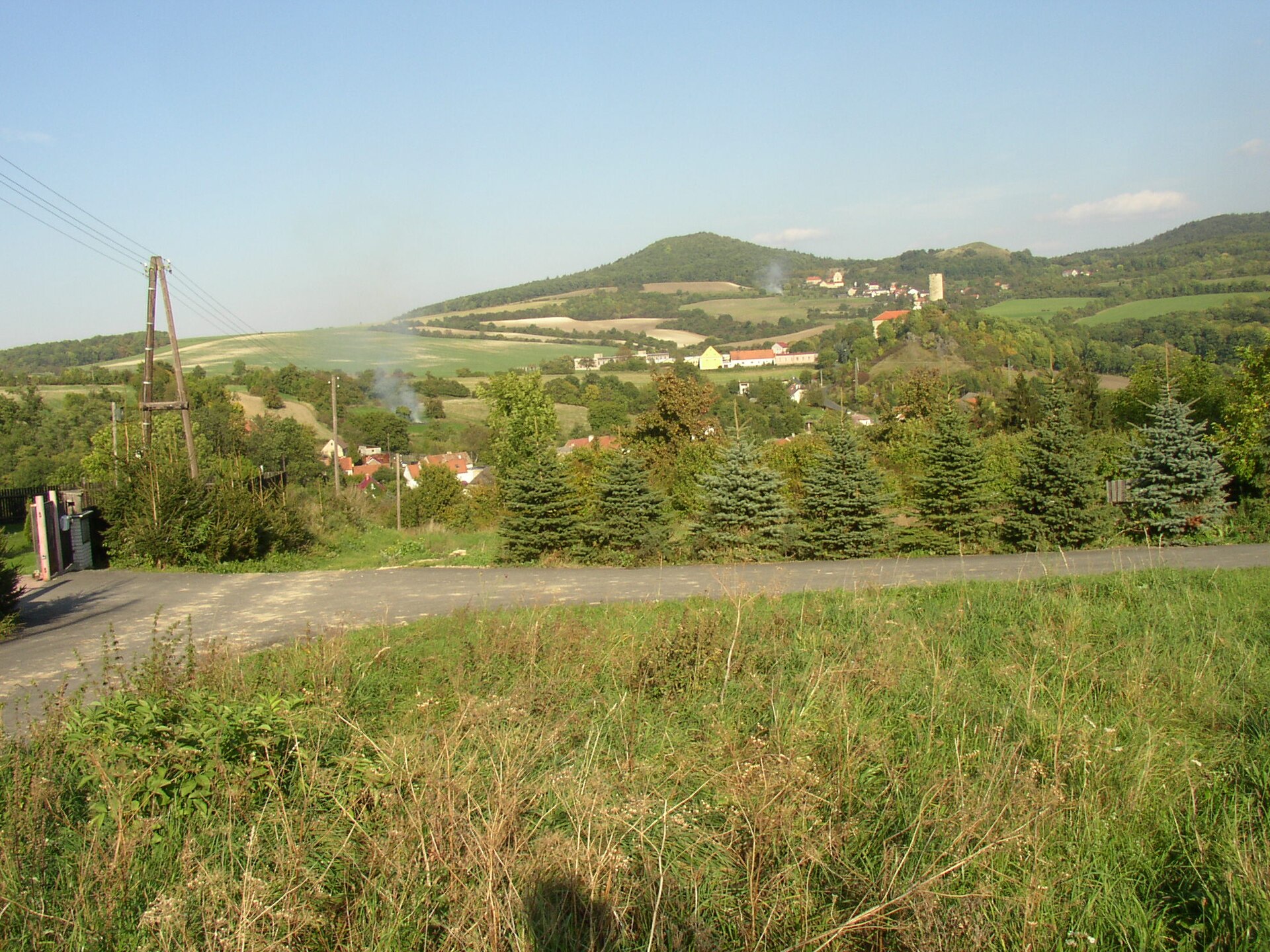
Milešovka is the highest peak of the Central Bohemian Uplands, rising above the village of Milešov in northern Czechia, between Lovosice and Teplice. It stands 837 m (2,746 ft) tall, and the difference between its base and summit reaches roughly 300 metres — a steepness that makes the mountain instantly recognizable against the surrounding hills.
Where is Milešovka located?
The peak sits at the heart of the Central Bohemian Uplands, a range of volcanic origin stretching along the Elbe river between Litoměřice and Ústí nad Labem. Milešovka rises far more sharply than the neighbouring hills, giving it an almost conical silhouette that dominates the local skyline. The village of Milešov, right at its foot, is the closest reference point for visitors.
How do you get to the summit?
Several marked hiking trails lead to the top, the most popular starting directly in Milešov village. The climb is short but demanding — the steep slopes mean a solid uphill push on the final stretch, whatever route you pick. Sturdy hiking shoes are worth having, since the paths can be rocky in places. By car, you can reach Milešov or the nearby villages, but from there the rest is on foot — no road runs to the summit itself.
What can you see from the top?
The view from Milešovka is among the most celebrated in the region. It's the spot where Alexander von Humboldt, the German naturalist and explorer, is said to have called the panorama one of the three finest views in the world. On a clear day you can see the wide sweep of the Central Bohemian Uplands with its distinctive dome-shaped volcanic hills, the Elbe valley below, and mountain ranges stretching toward the German border. A former meteorological station building crowns the summit — one of the most recognisable landmarks in the area, visible from many surrounding towns.
When is the best time to visit?
Spring and autumn tend to offer the clearest air and the longest sightlines. Summer brings more hikers, especially on weekends, but also warmer conditions for the climb. Because the summit sits so exposed, strong wind is a near-constant feature here regardless of season — one of the windiest spots in the region, a fact reflected in how the buildings on top were designed to withstand it.
Frequently asked questions
How tall is Milešovka? The peak reaches 837 m (2,746 ft) and is the highest point of the Central Bohemian Uplands.
Is the hike difficult? The trail is short but steep — the elevation gain from the base to the summit is around 300 metres, so expect an intense final push.
Where's the best place to start the hike? The most convenient and popular route begins in Milešov village, which lies right at the foot of the mountain.
What can you see from the summit on a clear day? A panorama of the Central Bohemian Uplands with its characteristic volcanic hills, the Elbe valley, and distant mountain ranges — the view Alexander von Humboldt reportedly ranked among the finest in the world.
Nearby places

Earn badges for the places you visit
Download NextOnTrip, discover new places and check off your trails.