Save this place and discover nearby attractions with NextOnTrip
In the app you can add it to your favorites, see what else is worth visiting nearby on the map, and earn a badge for your visit.
The app is available for iPhone and Android.
About this place
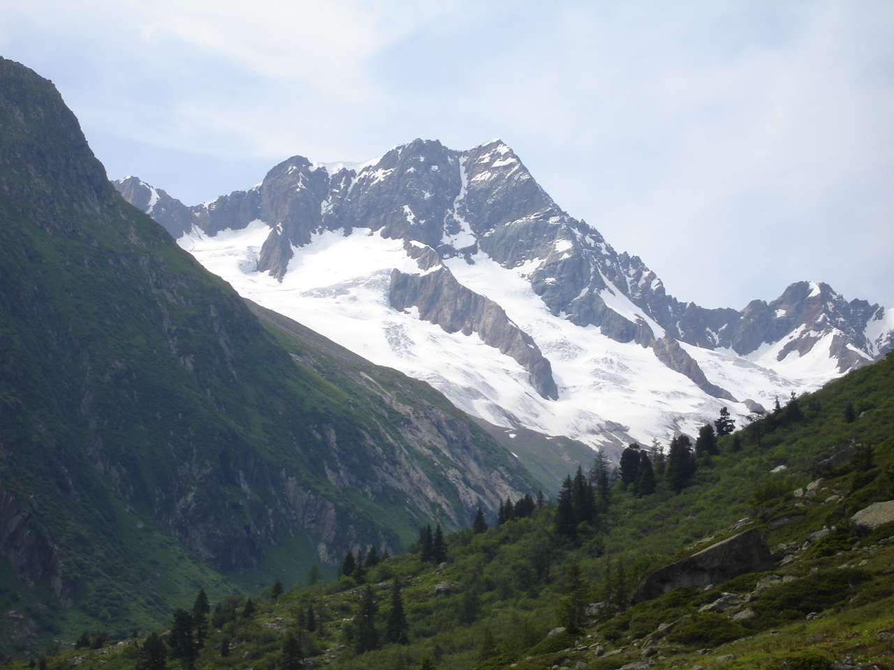
Glogghüs is a peak in the Urner Alps above Hasliberg in the canton of Bern. The border with Obwalden runs along its ridge. The mountain belongs to the crest between Planplatten and the Melchsee basin, so it can be seen from the Haslital side as well as from the lake below.
What is Glogghüs?
The name comes from the Bernese dialect and roughly means "bell house". There is no lift or hut on the summit, which makes it a destination for hikers who like ridge walking away from crowds. To the north the slopes fall toward Melchsee and the village of Melchsee-Frutt; on the Hasliberg side they descend toward the high pastures of Käserstatt.
How do you reach the summit?
The easiest start is Planplatten, reached by gondola from Hasliberg (top station at 2,250 m, with the Alpen Tower viewing platform). From there, turn left along the ridge toward Rothorn, Glogghüs and Fulenberg, then continue over Hochsträss to the alpine hamlet of Käserstatt (1,830 m). The final climb is rated T4 on the alpine scale, so you need sure footing, a head for heights and good fitness.
What else is nearby?
The ridge links several well-known points of the Haslital region. A longer circuit around Glogghüs is about 20 km, takes close to 8 hours and involves roughly 1,400 m of climbing. Its high point is the Hochstollen (2,481 m), and it passes the Balmegghorn (2,255 m). Another popular option is the crossing from Käserstatt over the Hochstollen to Melchsee-Frutt: about 8.9 km, 3 hours 45 minutes, 730 m up and 650 m down. The Hohsträss–Hochstollen–Abgschütz section is exposed and suited only to sure-footed walkers without fear of heights.
When should you go?
The season runs from summer to early autumn, once the ridge is free of snow. In fog, rain or fresh snow, skip it, because the exposed stretches become dangerous. Start early so you catch the last gondola if you are returning to Hasliberg.
Frequently asked questions
Is Glogghüs difficult?
Yes. The route to the summit is graded T4 and crosses exposed ridge sections.
Where is Glogghüs?
In the Urner Alps on the border of Bern and Obwalden, above Melchsee-Frutt and close to Hasliberg.
Where is the easiest starting point?
The upper gondola station at Planplatten (2,250 m), where the ridge leads toward Rothorn and Glogghüs.
Can you descend to Melchsee-Frutt?
Yes. The route over the Hochstollen ends at Melchsee-Frutt, where a gondola runs down to Stöckalp.
Nearby places

Earn badges for the places you visit
Download NextOnTrip, discover new places and check off your trails.