Save this place and discover nearby attractions with NextOnTrip
In the app you can add it to your favorites, see what else is worth visiting nearby on the map, and earn a badge for your visit.
The app is available for iPhone and Android.
About this place
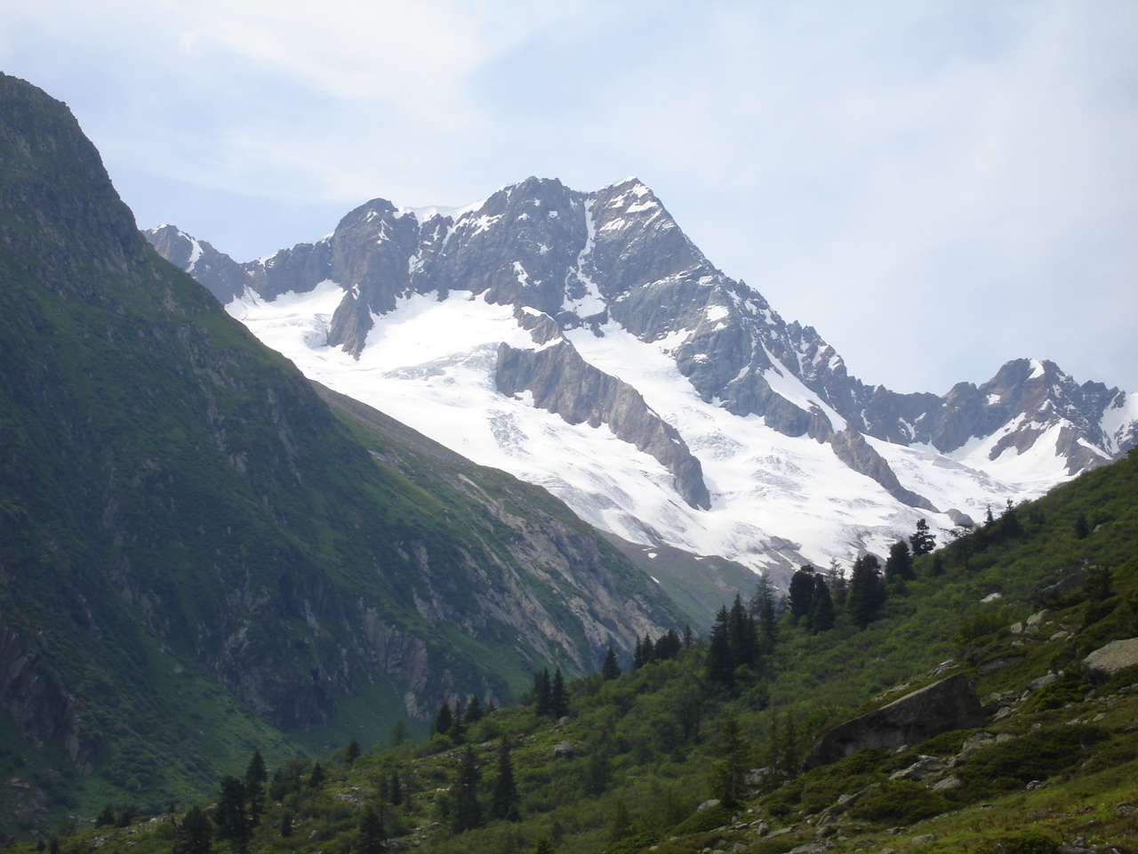
Ofenhorn (spelled Ofenhoren on official maps) near Guttannen is a 2,948 m summit in the canton of Bern, rising above the Gelmersee reservoir and the Haslital valley. It suits experienced mountain hikers: the route is long and rocky and calls for sure footing, and the reward is a view down to the village of Guttannen roughly 2,000 m below.
Where is Ofenhorn?
The peak stands in the Grimsel region above Lake Gelmersee, close to the Diechterhorn, the highest summit of this part of Bern. Do not confuse it with the other Ofenhorn (Punta d'Arbola, 3,235 m) on the Valais-Piedmont border, about 28 km to the south-west. The one described here sits directly above Guttannen.
How do you get to the top?
The normal route starts at the top station of the Gelmerbahn funicular by Gelmersee, at 1,893 m. Expect about 1,170 m of climbing and around 4 hours up; going back down the same way takes roughly 2 hours 45 minutes. The SAC grades the route T4+.
The line of ascent:
- from Gelmersee to the Gelmerhütte (2,412 m), about halfway,
- across the flat basin of Obrist Diechter,
- up to the Üssri Garwiidilimi saddle (2,685 m),
- along the south-west ridge to a secondary summit (2,933 m),
- then on to the main top.
You can also start from Kunzentännlein at Handegg (1,597 m) and skip the funicular, which adds about an hour. If the north-shore path along the lake is closed because of the 2017 rockslide, allow about 30 extra minutes for the south shore.
What is the terrain like?
Mostly scree, boulder fields and loose rubble, with faint paths in places and short scrambling sections. Steady footing on unstable stones matters, and in poor visibility route-finding becomes difficult, so pick a clear day. The rock shifts in colour along the way, from reddish amphibolite to the Grimsel granite typical of the area.
Where can you stay, and can you split the trip?
The SAC Gelmerhütte at 2,412 m sits about halfway up. Sleeping there turns the outing into a two-day tour with an unhurried summit push in the morning. Book Gelmerbahn tickets online ahead of time, since seats can sell out. The funicular can be reached by rail connections listed on SBB.
What can you see from the summit?
Below you lie the Haslital and Guttannen, with ridges of the Grimsel Alps all around. The height gap to the village stands out even among the region's other peaks.
Frequently asked questions
How hard is Ofenhorn? It is graded T4+: lots of rubble and boulders and short scrambling passages. It is not a trail for beginners.
How long does the climb take? About 4 hours up from the top station of the Gelmerbahn and under 3 hours down.
Can I do it over two days? Yes. The Gelmerhütte (2,412 m) is roughly halfway up and lets you break the route.
Do I need funicular tickets? The Gelmerbahn saves several hundred metres of ascent, and tickets are best bought online in advance.
Is this the same Ofenhorn as the one on the Italian border? No. That one, known as Punta d'Arbola, is 3,235 m high and lies in a different part of the Alps.
Nearby places

Earn badges for the places you visit
Download NextOnTrip, discover new places and check off your trails.