Save this place and discover nearby attractions with NextOnTrip
In the app you can add it to your favorites, see what else is worth visiting nearby on the map, and earn a badge for your visit.
The app is available for iPhone and Android.
About this place
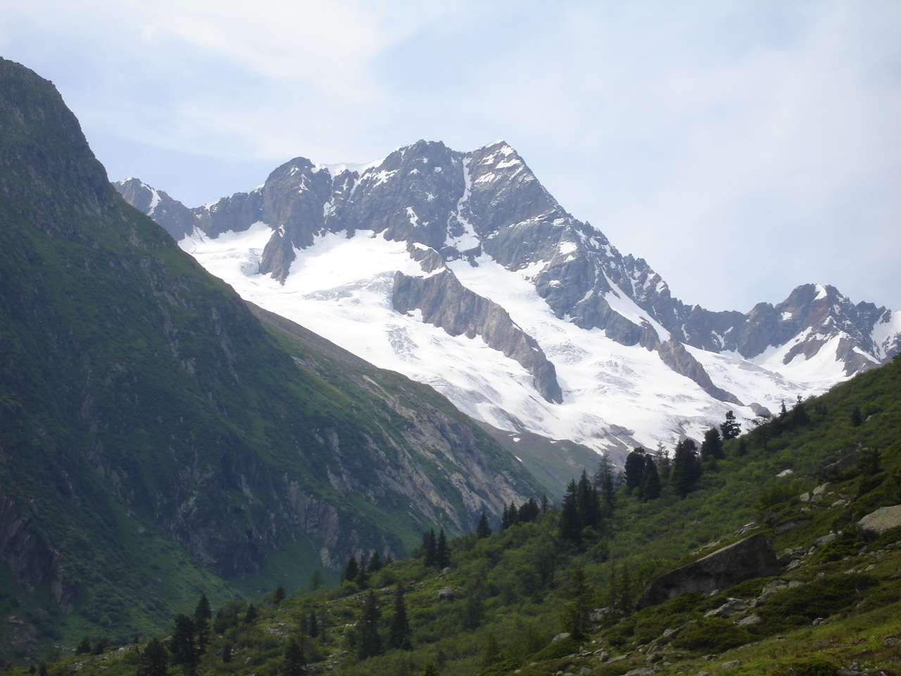
Wendenhorn is a rocky 3,023 m summit in the Urner Alps, in the area of Wassen in the canton of Uri. It sits on the border between Uri and Bern, roughly halfway between the Titlis and the Susten Pass. This is a target for experienced mountain travellers rather than a casual hike.
Where is the Wendenhorn?
The peak rises north of the Susten Pass road, on the ridge that links the Fünffingerstöcke to the southwest with the Grassen massif to the northeast. Its coordinates are about 46.754° N, 8.444° E. From Wassen in the Reuss valley, the pass road climbs through the Meien valley, and the approach to the mountain branches off from it.
How do you climb the Wendenhorn?
This is an alpine ascent. The normal route begins at the Sustenbrüggli bridge, at 1,907 m beside the pass road. You can go straight up or pass via the Sustlihütte (SAC) to a steep section known as the Stöss. The route then crosses the small Chli Sustlifirn glacier, which has crevasses, and reaches a saddle at 2,994 m between the Fünffingerstöcke and the Wendenhorn. The final stretch is the west ridge, graded II–III.
Other lines are harder. The southeast ridge starts with four pitches rated V (these can be bypassed) and then eases to III. You can descend by the west ridge or abseil down the northeast face. Bolts are placed only sporadically, so bring your own protection.
What else should you know?
The summit is rock, but the approach crosses glaciated ground, so crampons, rope, an ice axe and roped-team skills are needed. Starting from the Sustlihütte or from the Biwak am Grassen shortens the summit day. The Sustlihütte has long served as a base for climbers and hillwalkers, including families who pick gentler objectives nearby.
When should you go?
Summer and early autumn work best, when the Susten road is open and the glacier is free of deep snow. Check the forecast for 3,000 m and the state of the crevasses on the Chli Sustlifirn before setting out. The peak can be seen from around the pass together with its neighbours, the Fünffingerstöcke and the Wendenstöcke, so even without climbing it is worth a roadside stop to look at this rock group.
Frequently asked questions
How high is the Wendenhorn?
3,023 m above sea level.
Is it an easy peak?
No. The normal route is graded II–III on the ridge and crosses a crevassed glacier, so it requires gear and alpine experience.
Where is the best starting point?
The Sustenbrüggli bridge on the Susten Pass road, going directly or via the Sustlihütte.
Is there a hut nearby?
Yes, the Sustlihütte SAC lies along the approach, and a bivouac stands near the Grassen ridge.
Nearby places

Earn badges for the places you visit
Download NextOnTrip, discover new places and check off your trails.