Save this place and discover nearby attractions with NextOnTrip
In the app you can add it to your favorites, see what else is worth visiting nearby on the map, and earn a badge for your visit.
The app is available for iPhone and Android.
About this place
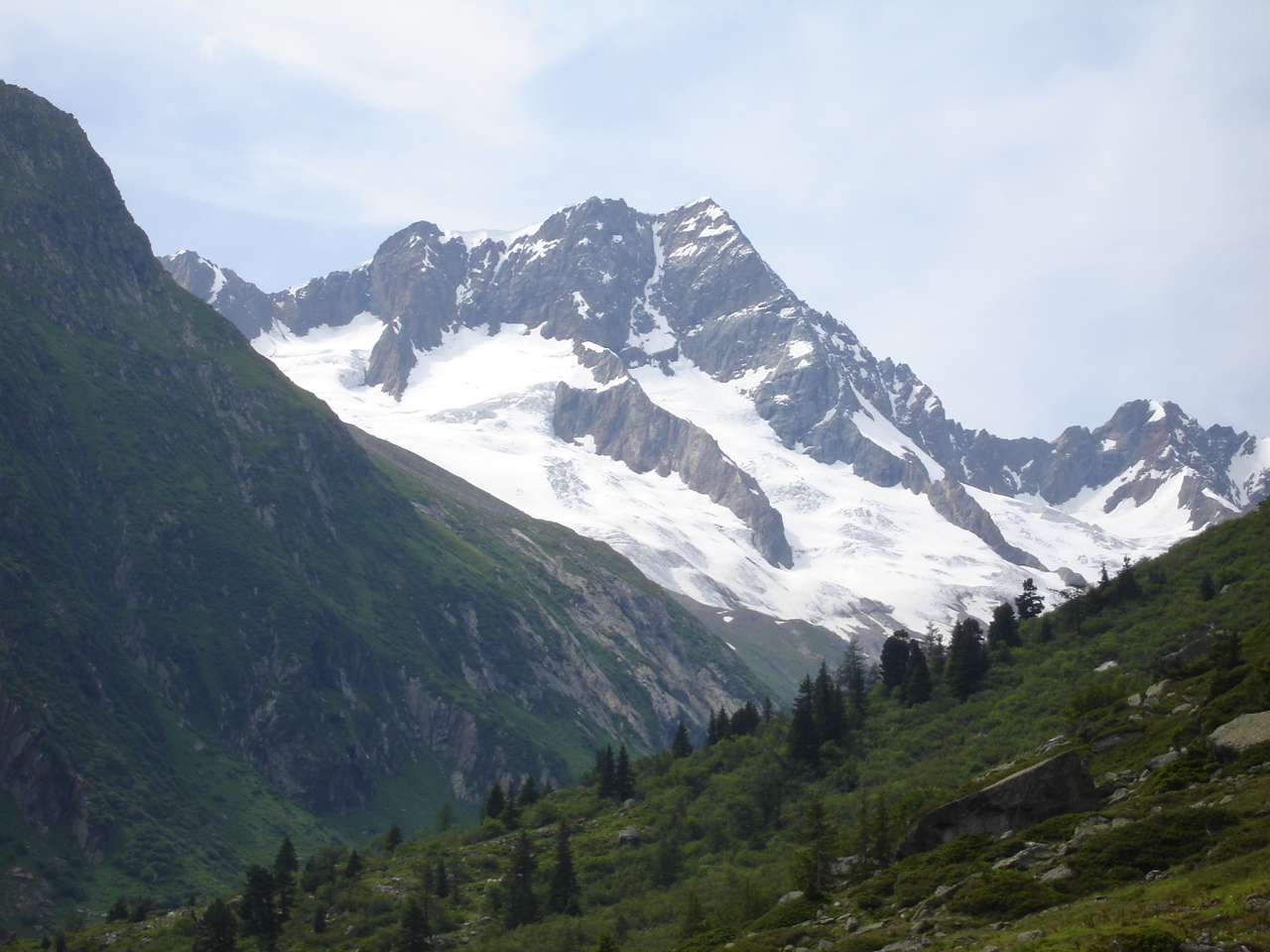
Titlis is a 3,238 m peak in the Uri Alps, rising above the Haslital valley near Innertkirchen. The border between the cantons of Bern and Obwalden runs across its summit. It is the highest mountain in the range north of the Susten Pass, standing between the Bernese Oberland and Central Switzerland.
Where is Titlis and how do you get up?
The mountain belongs to two cantons, but the visitor infrastructure sits on the Obwalden side. The lift system starts in the village of Engelberg and carries guests to the glacier zone. Innertkirchen lies on the southern, Bernese flank at the foot of the Susten Pass. No cable car to the top starts there, so even from this side you travel to Engelberg to ride up.
How does the Engelberg – Titlis cable car work?
The route has several stages. Eight-person gondolas run from Engelberg via Trübsee to Stand, a trip of roughly 30 minutes. Since 2016 a direct section skips the Gerschnialp stop and goes straight to Trübsee. From Stand, the Rotair takes you to the top station at about 3,020 m. It was the first rotating cable car in the world, and its cabin turns a full 360 degrees during the five-minute ride, so every passenger sees the whole panorama without moving.
What is there to see at the top?
- The Titlis glacier covers the highest parts of the western and northern slopes.
- The glacier cave is an ice tunnel about 150 m long, with ice that tourist sources put at around 5,000 years old.
- The Cliff Walk is a narrow suspension bridge at about 3,041 m, billed as the highest in Europe, with a drop of around 500 m beneath it.
- Lake Trübsee by the middle station suits a stroll, and in summer it adds rope and jump activities.
When should you go?
There is snow at the top all year, so the trip works in any season. Skiing runs from October to May, and sources quote anywhere from about 70 to more than 80 km of slopes. In summer, bring warm layers: the top station is much colder than the valley. Mornings under a clear sky give the best views, so check the forecast first, because in cloud the panorama disappears.
Can you climb Titlis on foot?
The main summit is 3,238 m high with a prominence of 1,014 m. The area is glaciated, so leaving marked paths calls for alpine equipment and experience. Most visitors end their trip at the top station and the attractions beside it.
Frequently asked questions
Can you ride up Titlis from Innertkirchen? Not directly. The cable car starts in Engelberg on the Obwalden side, so you need to get there first.
How long is the ride from Engelberg? About 30 minutes to Stand, then a five-minute Rotair ride to the top station.
How high is the top station? Around 3,020 m above sea level. The Titlis summit itself reaches 3,238 m.
What should you see first? The glacier cave, the Cliff Walk and the panorama from the terraces at the top station.
Nearby places

Earn badges for the places you visit
Download NextOnTrip, discover new places and check off your trails.