About this place
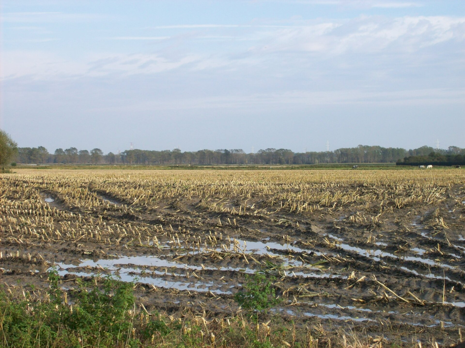
De Meetkerkse Moeren is a sprawling polder area of roughly 570 hectares stretching between the village of Meetkerke and the canal connecting Bruges to Ostend, within the municipality of Zuienkerke in Belgium. Unlike the surrounding polder landscape, this area has a distinctive backstory as a former raised peatland, and it remains a patchwork of wet meadows and pastures, much of it lying below sea level.
Where does the name "Moeren" come from?
The Dutch word "moeren" means marshes, and the name fits. During the Middle Ages this stretch of land was covered by an extensive raised peat bog, which was intensively cut for fuel — a resource that helped power the growth of nearby Bruges, then a major trading city. Centuries of peat extraction gradually turned the exhausted bog into a hollow lying lower than the surrounding farmland.
How was the land drained?
Systematic reclamation only began in the 17th century. A ring dike was built along with two wooden windmills, known as the Small and Large Mills, whose job was to pump excess water out of the low-lying basin toward the Blankenbergse Vaart canal. This slowly converted the marsh into meadow and pasture, though the persistent wetness meant only extensive, low-intensity farming was ever possible here.
What does the landscape look like today?
The Meetkerkse Moeren today is crisscrossed by ditches and small watercourses running through damp meadows. A nature reserve covering close to 250 hectares provides habitat for a wide range of wetland-associated flora and fauna, from waterfowl to plant species typical of wet grassland and pasture.
The area's best-known landmark is the Poldermolen in Meetkerke, a historic drainage windmill that, after a thorough restoration, has been turning its sails again since 2014 — a working reminder of the site's centuries-old drainage function.
What role did nature restoration play?
At the turn of the millennium the area underwent an ambitious ecological restoration project. Led by the Flemish Land Agency (Vlaamse Landmaatschappij) between 2001 and 2009, it covered 245 hectares spanning Meetkerke and Houtave (Zuienkerke), Varsenare (Jabbeke), and Sint-Andries (Bruges). The project restored hay meadows, hay pastures, small tree-lined lanes, and a traditional duck decoy trap, while raising water levels through weirs installed on several watercourses.
Frequently asked questions
Where exactly is De Meetkerkse Moeren located? Between the village centers of Meetkerke and Houtave and the Bruges–Ostend canal, in the municipality of Zuienkerke in West Flanders.
How does it differ from a typical polder landscape? Unlike most surrounding polders, this area developed on a former raised peat bog, giving it a different soil structure and an unusually wet character.
Can visitors walk through the area today? Yes, marked walking routes cross the reserve, including the popular Meetkerkse Moerenwandelroute, roughly 15 kilometers long.
What does the Poldermolen in Meetkerke represent? It's a restored drainage windmill that has been operating again since 2014, pumping excess water toward the Blankenbergse Vaart canal — a living monument to the area's long history of land reclamation.
Nearby places

Earn badges for the places you visit
Download NextOnTrip, discover new places and check off your trails.