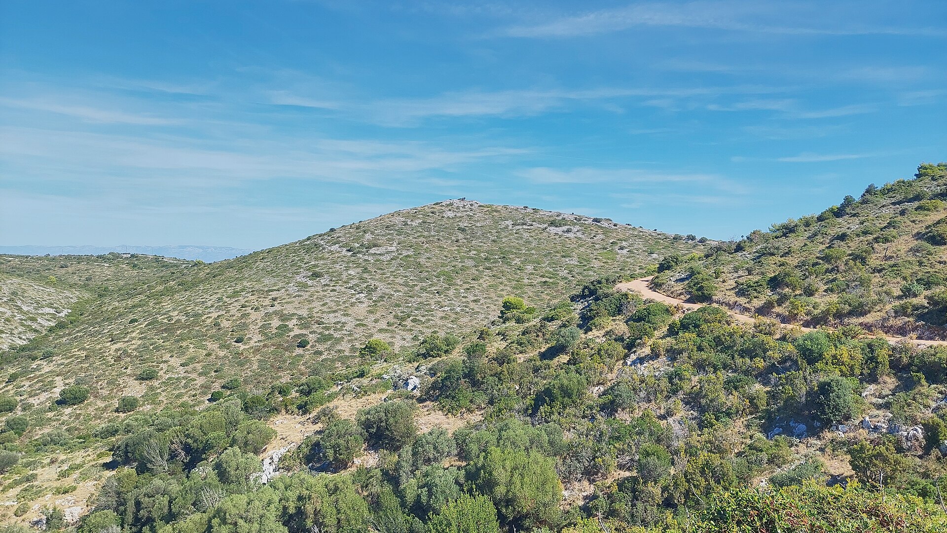
About this place
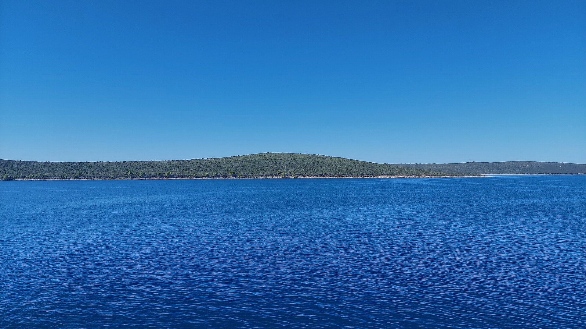
Vrh Hrnjetine is a secondary summit of the Vela Straža massif, the highest ridge on Dugi Otok, rising inland above the village of Savar. It's a destination for anyone who wants to see Dugi Otok from above, away from the beaches and harbors, surrounded by the dry, stony hills typical of central Dalmatia.
Where exactly is Vrh Hrnjetine?
The hill sits at roughly 44.0203 N, 15.0372 E, on the ridge running from Savar toward the main summit of Vela Straža (338 m), the highest point on Dugi Otok. The island itself is long and narrow — about 45 km long but only 1–4 km wide — so ridgelines in the central part of the island offer views toward both coastlines almost at once.
Why can't you reach the actual summit of Vela Straža?
The true summit of Vela Straža is off-limits to visitors: a military installation stands there and the site is closed to civilian access. Because of this, Orljak (301 m), on the same ridge, is treated as the island's unofficial substitute high point for hikers. Walking through the Hrnjetine area and along the Vela Straža ridge is therefore a scenic traverse along the slope rather than an ascent of the main peak itself.
What will you see along the way?
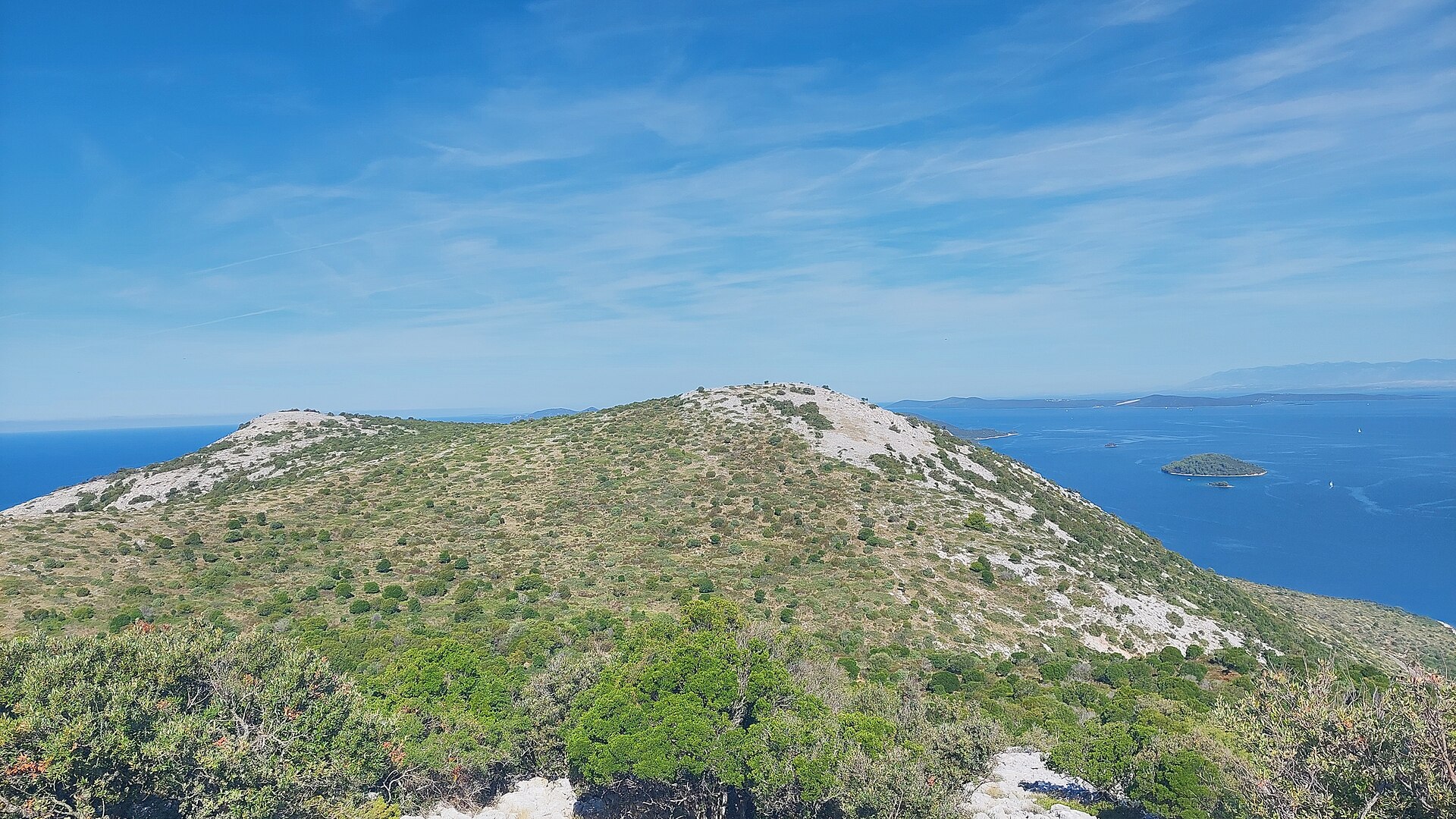
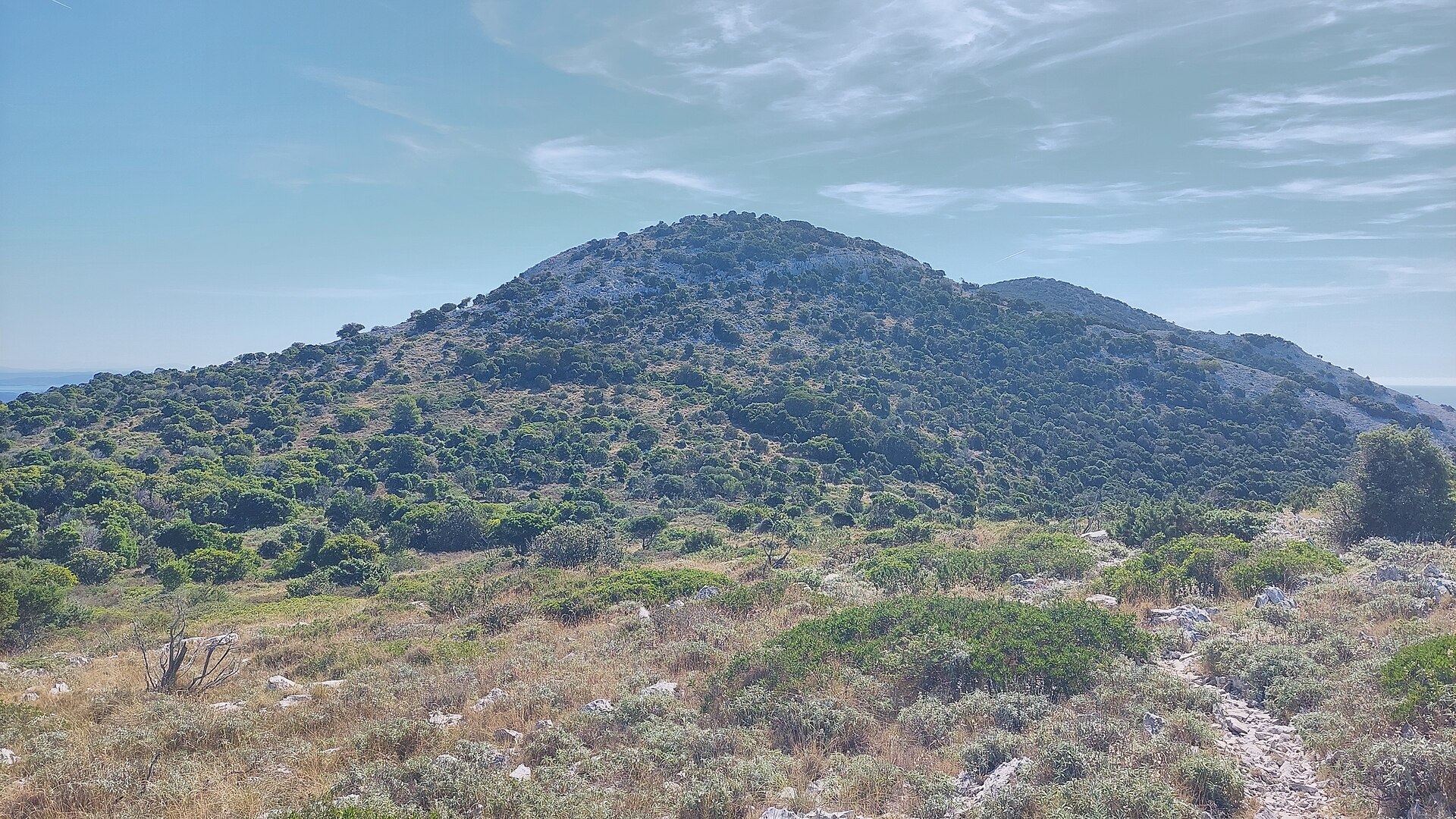
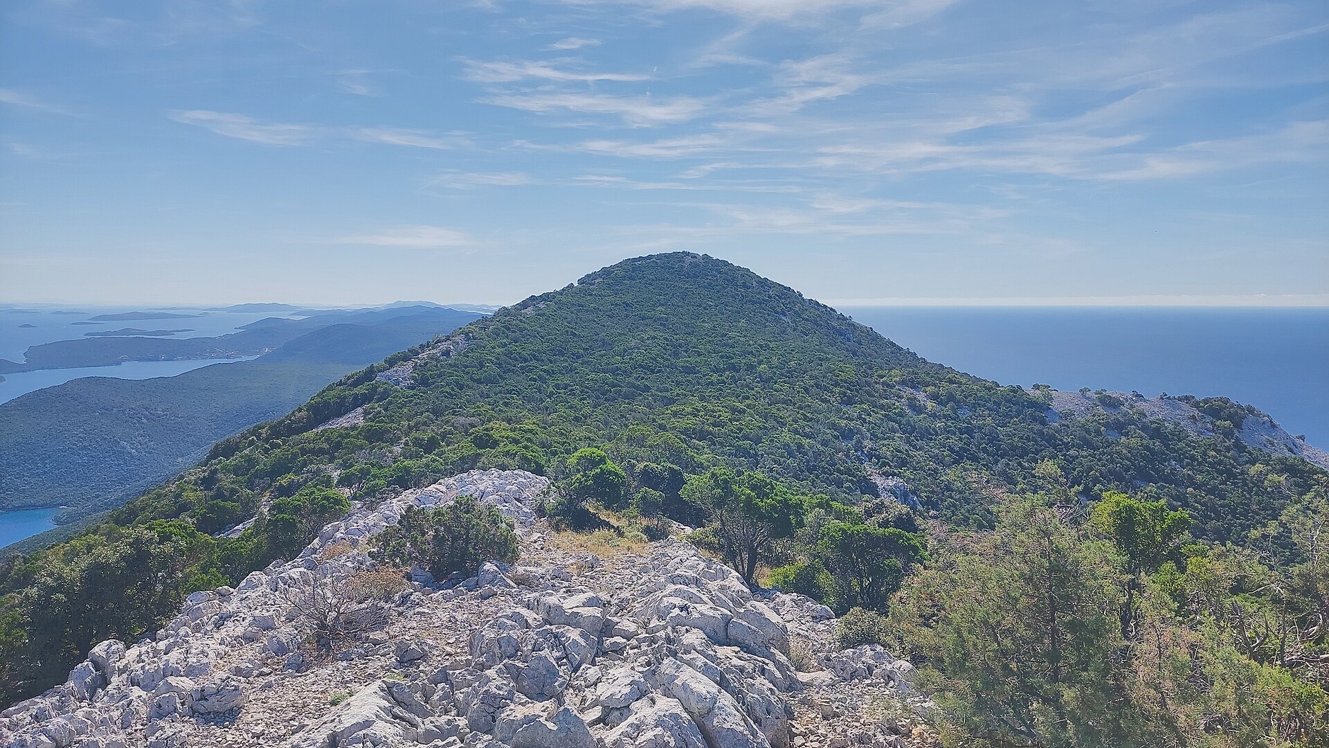
The ridge above Savar shows the landscape typical of Dugi Otok's interior: dry grassland, stone field walls, olive groves in the lower valleys, and views across the channel toward the Kornati islands. It's a raw, quiet stretch of terrain, far from the tourist traffic concentrated along the coast.
What's worth combining with the walk?
At the foot of the hill lies Savar, one of Dugi Otok's eleven settlements, located in the central part of the island at around 62 m above sea level. A hermitage dedicated to St. Anthony the Abbot once stood here, abandoned in the 16th century. Nearby is also Strašna Peć cave — one of the first organized hiking destinations in this part of the island, visited in 1904 by Emperor Franz Joseph. It's a good reason to pair a walk along the Hrnjetine ridge with a visit to the village itself.
How to get there and when to go?
The starting point is Savar, reached by local road from the ferry ports of Sali or Brbinj, both served by ferry and catamaran from Zadar. From Savar, unmarked tracks and farm roads used by locals and hikers lead further inland toward the ridge. Spring and early autumn are the best times to walk here — in summer, the shadeless, rocky slopes heat up quickly. Bring plenty of water and sturdy footwear.
Who is this area suited for?
This is a good option for travelers who have already explored Dugi Otok's coastline and want an inland activity — walking, landscape photography, or simply quiet. Dugi Otok as a whole is known for hiking, cycling, freediving, diving, kayaking, and sailing, so the Hrnjetine area fits naturally into the island's wider offer of active pursuits.
Frequently asked questions
Can you reach the actual summit of Vela Straža from Hrnjetine? No — the summit holds a military installation and is closed off. Hikers head instead to Orljak (301 m), treated as the island's substitute highest accessible point.
How do you get to Savar, where the route starts? By ferry or catamaran from Zadar to Sali or Brbinj, then by local road to Savar in the central part of Dugi Otok.
What else is worth seeing nearby? The village of Savar, with its hermitage history, and the nearby Strašna Peć cave, a hiking destination since the early 20th century.
When is the best time to go? Spring or early autumn, when temperatures are lower — in summer the steep, shadeless, rocky slopes are demanding.
Nearby places

Earn badges for the places you visit
Download NextOnTrip, discover new places and check off your trails.