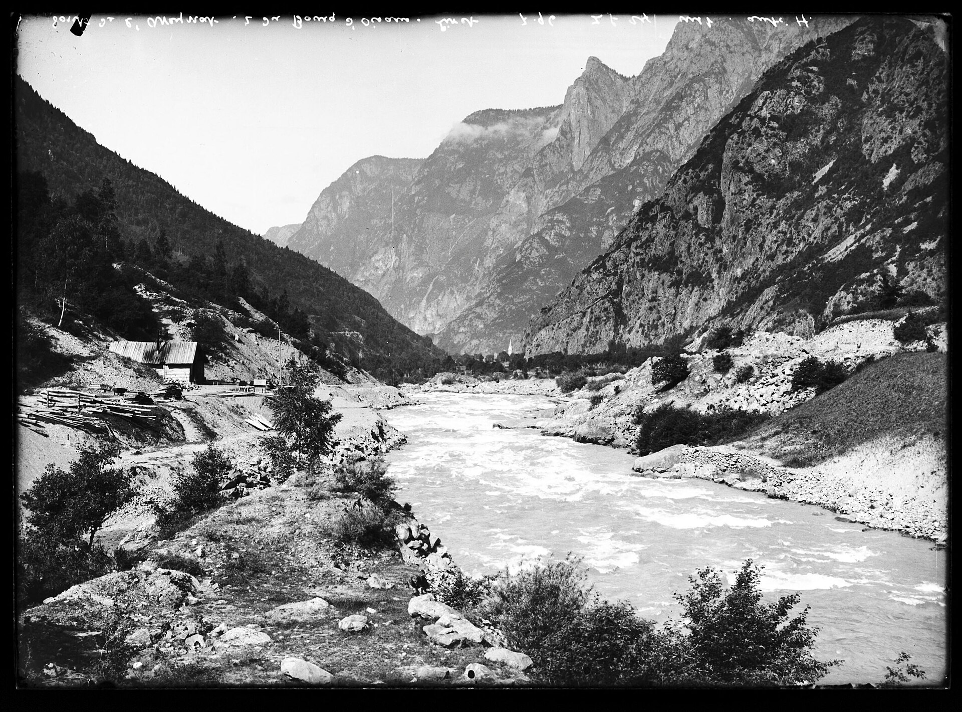
About this place
Rocher de l'Homme is a rocky summit reaching 1803 metres above sea level, rising above the resort of Chamrousse in the Belledonne mountain range, in the Isère department of southeastern France, not far from Grenoble. The name translates roughly as "the Man's Rock," a nod to the steep cliff face that has long stood out against the ridgeline above the Romanche valley.
Where is Rocher de l'Homme located?
The summit sits on the eastern rim of the Chamrousse plateau, exactly where the resort's gentle, forested slopes give way to sheer rock walls dropping toward the Romanche valley and the village of Livet-et-Gavet. Its neighbours include Grand Galbert and Cime du Cornillon, while a shallow col separates Rocher de l'Homme from the adjacent Cime des Fraches.
How do you get there?
The usual approach follows the D111 road from Vaulnavey-le-Haut toward Chamrousse, passing the former Chartreuse de Prémol monastery and the Lac Luitel nature reserve, known for its peat bogs and alpine flora. Around 1650 metres, a side road branches off to the Arselle plateau, a broad wetland area used as a Nordic ski centre in winter and as the main trailhead for this part of Belledonne in summer. Parking is available near the ski lodge at Arselle, and this is where most hikes to Rocher de l'Homme begin.
What does the hike involve?
From Arselle, the route climbs along a ridge toward the summit, staying away from the busier path to Lac Achard and offering a quieter alternative despite its scenic rewards. The descent follows a steep north-facing trail down to the col between Rocher de l'Homme and Cime des Fraches, and the loop closes near Pont de la Salinière before returning to the starting point. It is a short outing overall, but a demanding one, with real elevation change and a few exposed sections close to the cliff edge.
What is the view like from the top?
The main appeal of Rocher de l'Homme is the panorama. Standing above the vertical drop toward the Romanche valley, the summit offers a wide view of the eastern edge of the Vercors range, with the Taillefer massif in the foreground and, on clear days, the Grandes Rousses visible to the north. The sudden contrast between the calm Arselle plateau behind and the abrupt cliff in front is what draws both hikers and climbers to this particular spot.
Is it also used for rock climbing?
Yes. The cliffs below the summit host several established climbing routes of varying difficulty, making Rocher de l'Homme a popular training ground for climbers based around Grenoble who want quality rock without driving deep into the high Alps.
Frequently asked questions
How high is Rocher de l'Homme? The summit stands at 1803 metres above sea level.
Where does the hike start? Most routes begin at the Arselle plateau, reached via the D111 from Vaulnavey-le-Haut, past Prémol and Lac Luitel.
Is the trail difficult? It is short but demanding, with a steep descent and exposed stretches near the cliff edge, so previous mountain hiking experience is recommended.
What can you see from the summit? Views extend over the Romanche valley toward the Vercors and Taillefer massifs, with the Grandes Rousses visible in good conditions to the north.
Can you go rock climbing there? Yes, the rock face below the summit offers multiple climbing routes for different skill levels.
Nearby places

Earn badges for the places you visit
Download NextOnTrip, discover new places and check off your trails.