About this place
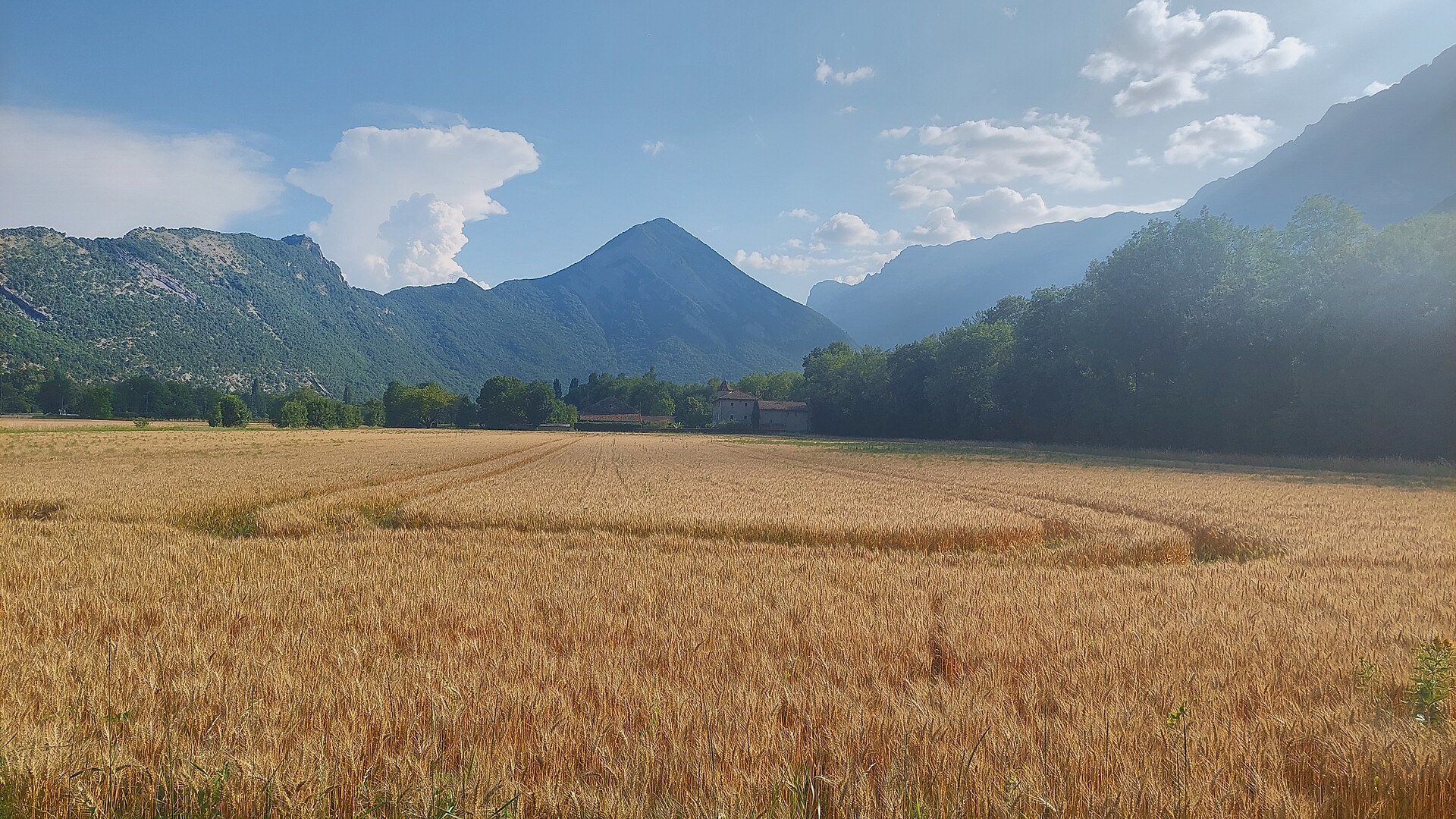
Montagne de Grand Rochefort is a modest hill in the Isère department of France, just south of Grenoble, straddling the boundary between the communes of Varces-Allières-et-Risset and Le Pont-de-Claix. Despite the name suggesting a full-fledged mountain, it is in fact an elongated, north-south ridge reaching 409 metres above sea level, rising roughly 160 metres above the surrounding plains. It marks a natural transition between the low-lying floor of the Grenoble urban area and the higher terrain leading toward the Vercors massif.
Where exactly is Grand Rochefort located?
The hill is bordered to the northeast by the Drac river, which flows past its base toward Grenoble. To the southeast lies the Rochefort water catchment area, while to the south sit the neighbouring summit of Petit Rochefort and the hamlet of Grand Rochefort itself, from which the hill takes its name. To the west, the terrain slopes down toward Claix and Varces-Allières-et-Risset, marking the southern edge of the Grenoble conurbation. This position makes Grand Rochefort easy to reach both from the city centre and from the surrounding towns.
Why does this spot matter beyond its scenery?
Aside from its recreational value, Grand Rochefort has a genuine practical role: at its foot, on the Reymure plain, sits one of the main drinking-water catchments supplying the Grenoble metropolitan area. In other words, despite its modest elevation, this hillside carries real infrastructural weight for the wider region.
What does the climb to the summit look like?
The most common approach starts from Le Pont-de-Claix. A popular loop takes hikers up to the summit plateau from the north and back down via a different path to the south, avoiding a there-and-back walk on the same trail. Given the moderate height and limited elevation gain, the route suits a shorter, half-day outing and is accessible even to walkers without advanced mountain experience. That said, some stretches can be steep or rocky, so sturdy footwear and extra care are advisable, particularly after rain.
What can you see from the top?
Sitting at the edge of the Drac valley, the summit platform offers views that combine the built-up floor of the Grenoble agglomeration with the higher mountain ranges rising in the distance. It is a typical foothill panorama — part urban valley, part gateway to the taller relief further into the region.
Who is this hill best suited for?
Grand Rochefort works well as a day-trip destination for residents of Grenoble and the surrounding area who want a dose of nature without travelling far. It also suits visitors to the region looking to pair a light walk with a rewarding view over the valley. Given its modest scale, it is not primarily a destination for seasoned mountaineers, but rather a local recreational spot with genuine everyday appeal.
Frequently asked questions
How high is Grand Rochefort? The summit reaches 409 metres above sea level, roughly 160 metres above the surrounding plains of the Drac valley.
Where is the best starting point for a hike? Le Pont-de-Claix is the most popular trailhead, offering a loop route that climbs from the north and descends via the south.
Are there other points of interest nearby? Yes — the neighbouring summit of Petit Rochefort and the Rochefort water catchment area sit close by, along with the towns of Varces-Allières-et-Risset and Claix, which make good bases for exploring further.
Is the trail suitable for families with children? Given the moderate elevation gain and relatively short walking time, the route can work for active families, though it is worth checking current trail conditions beforehand and pacing the walk to suit younger hikers.
Does the area have any significance beyond hiking? Yes — at the base of the hill, on the Reymure plain, lies one of the drinking-water catchments supplying the Grenoble metropolitan area, giving the site a role in local infrastructure as well as recreation.
Nearby places

Earn badges for the places you visit
Download NextOnTrip, discover new places and check off your trails.