About this place
Rechenburk (also spelled Rechemberk or Rechenburg) is a ruined medieval hilltop stronghold on a rise known as Zámecký vrch, north of Trutnov, near the village of Libeč in the Hradec Králové Region of the Czech Republic. No masonry survives above ground, but the earthworks and rocky outcrops are still clearly traceable, making the site a rewarding stop for anyone who enjoys pairing a quiet walk with a piece of local history.
How to get there?
The ruins lie a few kilometers from Trutnov, reachable via cycling route no. 4084, which leads to an information panel located roughly 500 meters below the crossroads known as "Za Zámeckým vrchem." From there, it's about another 400 meters on foot down the slope to the site itself. An alternative approach follows a forest path from the western side of Libeč, covering about 700 meters, or a somewhat longer but more comfortable route from the north. A red-marked hiking trail also passes roughly 500 meters away. Entry to the ruins is free.
What will you see on site?
The castle stood on a sharp-edged rocky spur, at an elevation reported variously between about 560 and nearly 590 meters above sea level. The core of the complex had a roughly oval layout, enclosed by earthen ramparts and moats whose outlines remain plainly visible in the terrain today. To the northwest, natural rock formations reinforced the defensive line, turning the landscape itself into part of the fortification.
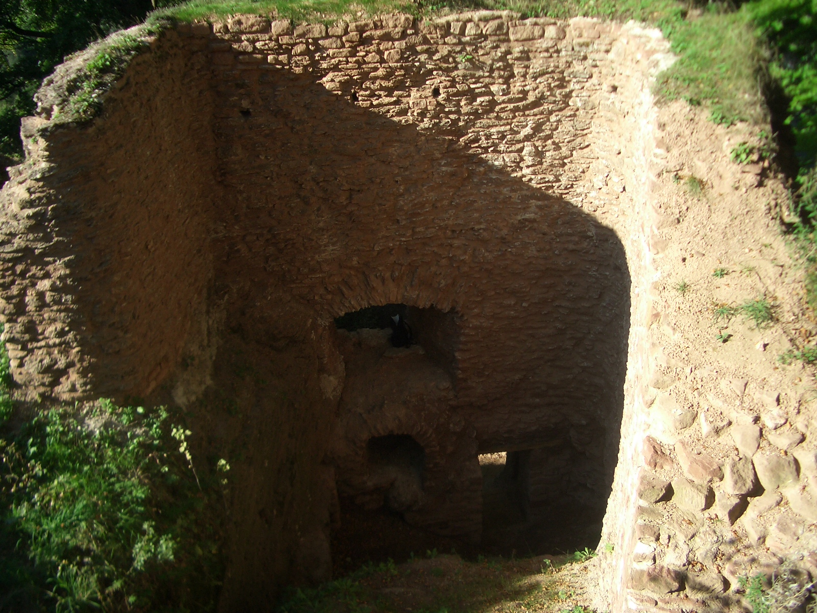
None of the original masonry remains above ground — only buried foundations survive beneath the surface, the rest having collapsed or been dismantled over the centuries. Archaeological surveys carried out at the site in the 1970s and again in 2005 helped map the extent of the former fortifications, though by the late 1990s the location had been damaged by illegal treasure hunters disturbing parts of the archaeological layers. Visitors should take care near the rocky edges, particularly with children, and should follow the warning signs posted on site.
Where did the stronghold come from?
The castle was founded in the second half of the 13th century by the lords of Švábenice as a stronghold supporting their authority during the colonization of the Trutnov region. Its role was to secure the family's interests on a newly settled frontier. That role proved short-lived: once the Švábenice family left the area around the turn of the 13th and 14th centuries, the castle lost its strategic purpose and gradually fell into disrepair, never regaining an owner who would restore its defensive function.
The legend of the screaming ghosts
Local folklore attaches a colorful tale to Rechenburk: every Saturday, ghosts were said to gather among the ruins, screaming loudly and hurling stones down from the cliffs to drive away anyone who tried to settle within the old castle grounds. The story, typical of many abandoned strongholds in the region, is still recounted today as part of the site's local lore.
What else to combine with a visit?
About 3 kilometers north of Rechenburk lies Stachelberg, also known as Ježová hora, one of the largest fortresses in the Czech Republic. For anyone planning a longer day out around Trutnov, it makes a natural second stop, pairing two very different chapters of the region's defensive history.
Frequently asked questions
What was Rechenburk? It was a medieval defensive castle founded in the second half of the 13th century by the lords of Švábenice as a stronghold during the colonization of the Trutnov region.
Why is only a ruin left today? The castle lost its strategic importance at the turn of the 13th and 14th centuries, when its founding family left the region, and it gradually decayed until only buried foundations remained of its masonry.
What can visitors see on site today? Mainly the earthen ramparts and moats of the former complex, along with the rocky formations that reinforced its defenses — almost no masonry survives above ground.
How do you reach the ruins? The easiest way is via cycling route no. 4084 to the information panel, followed by about 400 meters on foot down the slope; a forest path from Libeč offers an alternative approach.
Nearby places

Earn badges for the places you visit
Download NextOnTrip, discover new places and check off your trails.