About this place
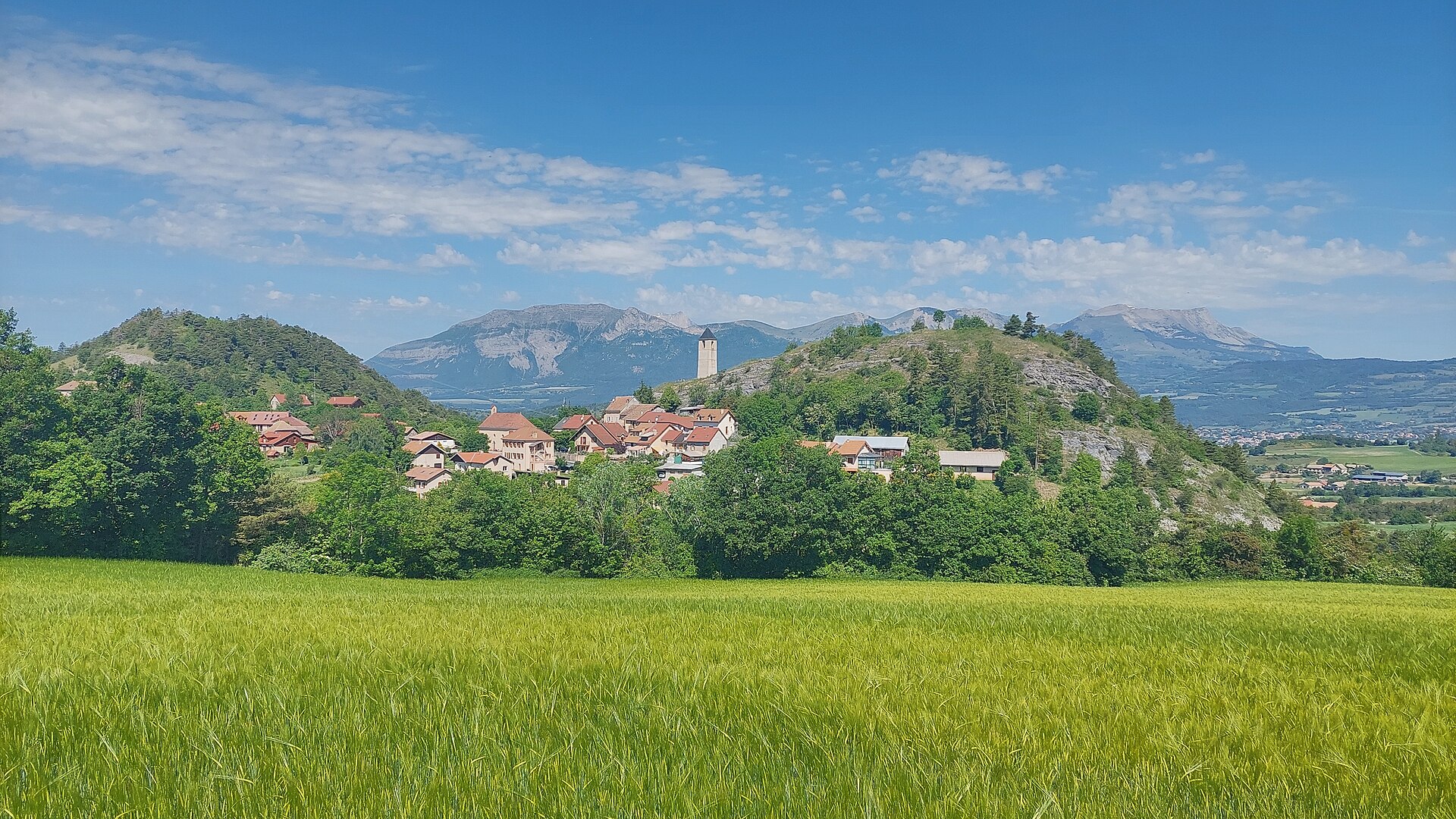
Puy de Manse is an isolated summit near La Rochette, sitting at the southwestern edge of the Écrins Massif in the French Alps. Rising to 1,637 m, it sits exactly on the watershed line between the Champsaur and Gapençais regions, and its top offers one of the widest panoramas in the Hautes-Alpes.
Where exactly is Puy de Manse?
The mountain forms an elongated pyramid running north-south and stands over 300 m above the surrounding hills. Its slopes are shared by three communes: La Rochette to the southwest, Ancelle to the east, and Forest-Saint-Julien to the northwest. Two secondary tops flank the main summit — one at 1,497 m to the north and another at 1,621 m to the south — giving the mountain its distinctive multi-peaked silhouette when seen from a distance.
How do you get to Puy de Manse?
The D944 road reaches Col de Manse (1,269 m) on the western side of the massif, which serves as the most practical starting point for the climb. No road continues up the slopes, and the ascent itself is unmarked. Hikers follow tracks left by grazing herds — cattle and sheep use the mountain as summer pasture — rather than any official trail. Depending on where you start, the elevation gain to the top runs 300–350 m. The west face is steep and rocky, so it's best avoided in favor of the gentler eastern or southern approaches.
For a lighter option, an easy waymarked loop starts right in La Rochette along the D14 road: 4.2 km long with 268 m of elevation gain, taking about 1.5–2 hours. It works well as a warm-up or as an alternative for hikers not ready to tackle the unmarked summit route.
What will you see from the top?
The reward for the climb is a full 360-degree view. From the summit you can see Lake Serre-Ponçon, the town of Gap, and numerous passes and peaks surrounding the Champsaur region. On exceptionally clear days, visibility extends as far as the Charance ridge and Pic de Bure. Lake du Sautet and the Valgaudemar valley are also visible. This unusually wide reach for a mountain of moderate height is exactly what draws local hikers back to Puy de Manse.
Vegetation at the top is sparse and wind-hardy, typical of dry, exposed mountain terrain — rainfall is scarce here and water sources are essentially absent, so carrying enough water for the whole route is essential.
When is the best time to visit?
Summer is the best window: slopes are dry, the herd tracks are easiest to follow, and livestock graze the surrounding meadows. In spring and autumn the route is more demanding, since the exposed slopes offer little shelter from wind.
Frequently asked questions
Is there a marked trail to the top of Puy de Manse? Not to the summit itself — there's no official waymarking, and hikers rely on paths worn by grazing herds instead. The easy loop hike around the base of the mountain, starting from La Rochette, is marked.
How long does the climb take? Depending on the starting point, you'll gain 300–350 m of elevation, which typically takes a few hours round trip. The shorter loop around the mountain from La Rochette takes 1.5–2 hours.
What can you see from the summit? Lake Serre-Ponçon, the town of Gap, passes and peaks across the Champsaur area, and on clear days the Charance ridge, Pic de Bure, Lake du Sautet, and the Valgaudemar valley.
Is the route technically difficult? The summit approach requires care due to the lack of a marked trail and a steep, rocky west face that's best avoided. The shorter loop circling the mountain, by contrast, is easy and suitable for less experienced hikers.
Nearby places

Earn badges for the places you visit
Download NextOnTrip, discover new places and check off your trails.