About this place
Pic de Gleize rises to 2,161 m in the Dévoluy massif, one of three major summits of the range, overlooking the town of Gap in the Hautes-Alpes department.
How do you get there?
From Gap, drive the N85 toward Col Bayard and continue on to Col de Gleize (1,696 m), the most common starting point for the climb. An alternative is the winter parking area at Les Vachiers (1,533 m), on the south-east flank of the mountain. The route is waymarked as trail number 15, starting near a forest ranger's cabin before zigzagging up through pine woods. Once above the treeline, hikers can choose between the classic ascent or a more exposed path along the south ridge. The classic route leads to a small col between Pic de Gleize and the neighboring Pic de l'Aiguille, from where the summit is a short final push away.
How long does the hike take?
The full loop covers roughly 9 km and takes about 3 hours 45 minutes on average, depending on fitness and the chosen variant. The climb is rated as demanding, with a significant elevation gain and some rocky sections near the top, though no climbing gear is needed in good weather.
What will you see at the top?
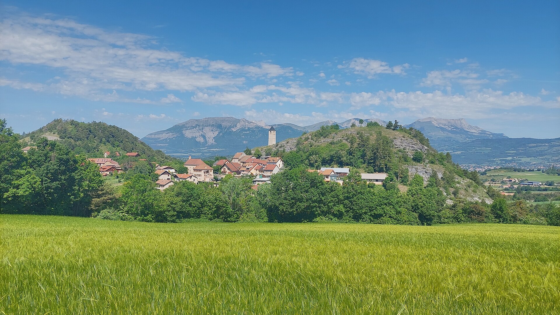
The summit offers wide views over the Dévoluy massif and its neighboring peaks, including Pic de Chaudun and Pic de l'Aiguille — together with Pic de Gleize, these three summits form the range's best-known trio. Below, the Gap valley and the folded landscape of the Hautes-Alpes stretch out. The slopes are covered in alpine meadows that burst into bloom in late spring.
When is the best time to go?
The trail is best hiked from April through October, when it is free of snow and conditions allow safe passage along the ridge. Late spring is especially rewarding, as the alpine flora reaches peak bloom, making the hike appealing not just to summit-baggers but to nature lovers as well.
Frequently asked questions
Is climbing Pic de Gleize difficult? The route is rated demanding, mainly due to the loop's length, elevation gain, and rocky sections near the summit, but no technical climbing gear is required in good weather.
Where's the best place to start the hike? The two main options are Col de Gleize (1,696 m) for the classic route, and the Les Vachiers winter parking area (1,533 m) on the south-east side.
How long does the hike take? On average 3 hours 45 minutes for the full loop of about 9 km, depending on pace and the chosen approach.
Is the trail marked? Yes, the main approach is waymarked as trail number 15, running through forest before opening onto the ridge leading to the summit.
Nearby places

Earn badges for the places you visit
Download NextOnTrip, discover new places and check off your trails.