About this place
Sommet Aiguille is a rocky peak above the village of Laye in the Hautes-Alpes department, rising to roughly 2,140 m in the Dévoluy massif. Also known locally as Pic de l'Aiguille, it is one of three main summit destinations reachable from the Laye station, alongside Pic de Gleize and Sommet de Costebelle.
How do you get there?
The starting point for the ascent is the Col de Gleize car park, sitting at 1,696 m. Access to the area runs through the Col Bayard pass, reachable from either Gap or Corps. The village of Laye itself lies in the Champsaur valley and serves as a base for several hiking and trail-running routes in this part of the Dauphiné Alps.
The climb to the summit covers about 450 m of elevation gain and takes two to two and a half hours one way. The route follows a ridge that starts out wide and narrows steadily, with the final stretch before the top crossing an exposed, narrow section with drop-off on the right side. One rocky step can be avoided by passing to the left. Because of the ridge's character, the hike is only recommended in dry conditions — wet or icy rock makes the final section considerably harder. Anyone planning the trip should bring the IGN TOP 25 map, sheet 3437 OT (Champsaur – Vieux Chaillol – Parc national des Écrins).
What will you see?
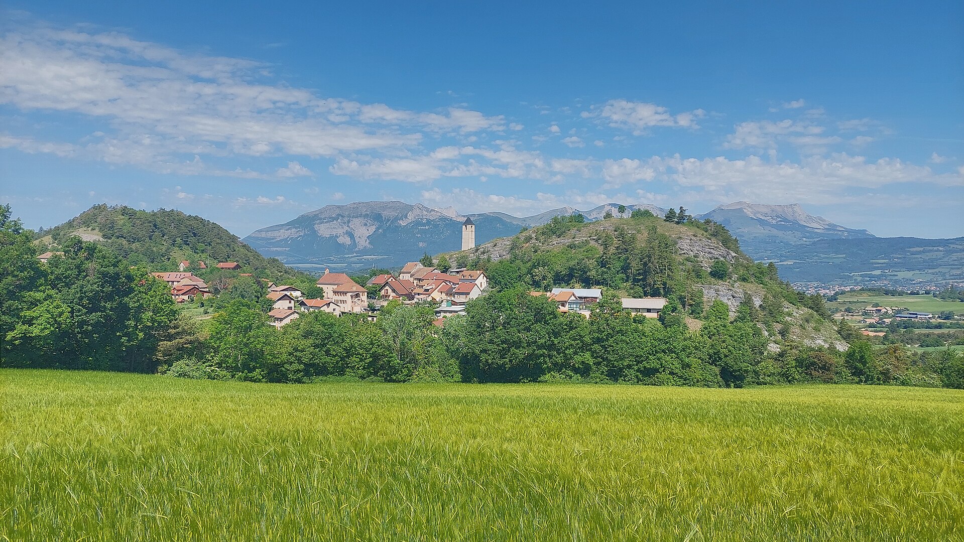
The ridge leading to Sommet Aiguille is valued as a viewpoint over the Champsaur valley, the Écrins massif, the Gapençais region, and the southeastern part of Dévoluy. The panorama therefore combines the high, jagged ridgelines of the Écrins with the gentler farming valleys at the foot of the massif — a contrast that makes the peak worthwhile even for visitors not planning further routes in Dévoluy.
Close by, also starting from the Laye station, hikers can reach Sommet de Costebelle (2,004 m). That route covers about 8.4 km round trip with 600 m of elevation gain, starting near the Jungle Laye course and following the Sentier de la Cuque through forest up to around 1,590 m, above which it opens onto a scenic ridge. Around 1,730 m the trail crosses rocky gullies and scree sections that call for extra care.
When should you go?
The ridge ascent is best done from late spring through early autumn, once the rock has dried out and snow has cleared from the exposed sections. In summer the area also offers marked trail-running routes with downloadable GPS tracks, which makes Laye a popular base for runners as well as hikers.
Where to stay?
Maison l'Aiguille, based in Laye itself, offers accommodation and meals — a convenient base for a multi-day stay built around hikes to the surrounding peaks.
Frequently asked questions
Is climbing Sommet Aiguille difficult? Yes, the route is rated difficult because of the exposed, narrowing ridge near the top. Sure footing and comfort with exposure are required.
How long does the climb take? From the Col de Gleize car park to the summit, plan on two to two and a half hours, covering 450 m of elevation gain.
Can this hike be combined with other summits? Yes, Pic de Gleize and Sommet de Costebelle are also reachable from the Laye station, making it easy to plan a longer stay with several different routes.
What should you bring on the trail? The IGN TOP 25 map (sheet 3437 OT), sturdy hiking boots, and a check that the rock is dry — wet conditions significantly increase the difficulty of the final exposed ridge section.
Nearby places

Earn badges for the places you visit
Download NextOnTrip, discover new places and check off your trails.