About this place
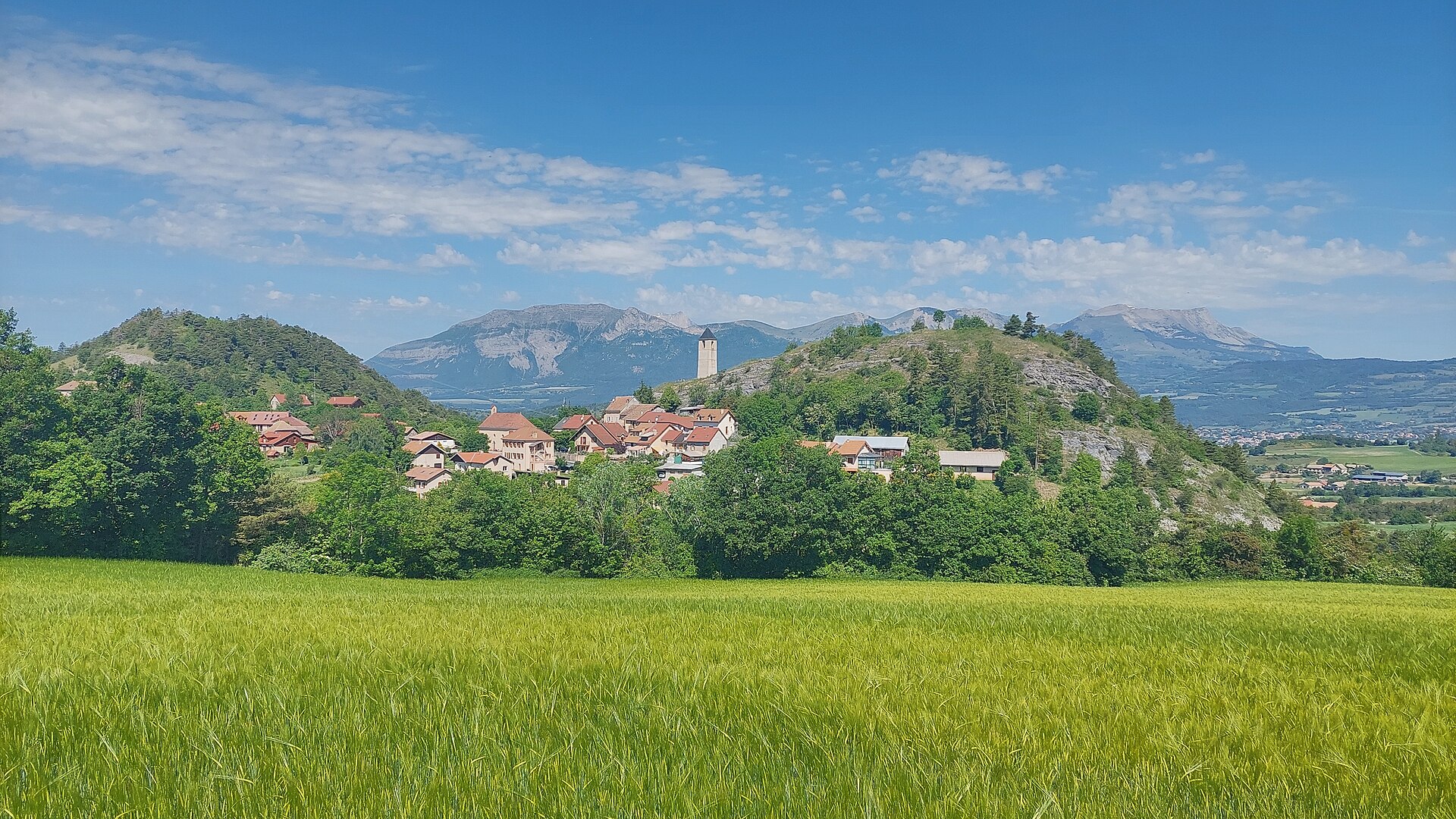
Grande Autane rises to 2,782 metres in the Dauphiné Alps, in the Hautes-Alpes département of France, close to the towns of Gap and Ancelle. The peak sits right at the edge of the Écrins National Park, marking one of the natural gateways into the Champsaur valley, and is a familiar landmark for anyone exploring this stretch of the French Alps. The village of Serre-Eyraud is one of the main access points for both hiking and ski touring routes leading up to the summit.
Where is Grande Autane located?
The mountain belongs to the Dauphiné Alps range, surrounded by the kind of terrain typical of Hautes-Alpes high country: open grassy slopes, rocky ridgelines and valleys that funnel toward the wider Écrins massif. Its proximity to Gap and Ancelle makes it a realistic day objective for travelers based in either town, rather than a destination that requires a dedicated multi-day trip.
How do you reach the summit from Serre-Eyraud?
A well-known hiking route begins at the Rouanne Haute car park, reached by the road coming up from Ancelle. The first stretch climbs more steeply, then eases into a long series of switchbacks across grassy slopes that steadily gain height toward the Col de Combeau. From that col, the path follows the ridge to the right and works its way through further climbs to the summit of Grande Autane. The route involves roughly 1,200 metres of total ascent, making it a serious but achievable single-day outing for hikers with some experience of high-mountain terrain.
What can you see from the top?
The summit offers a wide panorama over some of the best-known features of the Écrins massif, including Vieux Chaillol, the Barre des Écrins, La Meije and the Rouies glacier. It's this combination of nearby valleys and distant high peaks that draws both seasoned hikers and mountain photographers to the top.
Is Grande Autane also a ski touring destination?
Yes. The area around Serre-Eyraud is also used as a starting point for ski touring in winter and spring. Setting off from the village at around 1,440 metres, a full ascent to the summit involves close to 1,800 metres of climbing, making it one of the more demanding ski touring lines in this part of Hautes-Alpes. Snow conditions and slope exposure should be checked carefully beforehand, including avalanche risk, and the route calls for solid ski mountaineering experience.
Who is this hike suited for?
The route to Grande Autane mixes gentler sections with steeper ridge climbs, so it suits hikers who already have some high-mountain experience, a reasonable level of fitness, and appropriate footwear. In summer it is manageable for confident walkers; in winter and spring it becomes a ski mountaineering objective requiring the right equipment and skill level.
Frequently asked questions
How high is Grande Autane? The summit reaches 2,782 metres above sea level.
Which region is Grande Autane in? It lies in the Dauphiné Alps, in the Hautes-Alpes département of France, near Gap and Ancelle.
Where's the best place to start the hike? Most hikers start from the Rouanne Haute car park near Ancelle, or from the village of Serre-Eyraud itself.
How much elevation gain is involved on foot? Around 1,200 metres, depending on the exact route chosen.
What views does the summit offer? Views take in Vieux Chaillol, the Barre des Écrins, La Meije and the Rouies glacier.
Can Grande Autane be climbed in winter? Yes, the area is also popular for ski touring, with an ascent of roughly 1,800 metres from Serre-Eyraud, though it demands experience and careful assessment of snow conditions.
Nearby places

Earn badges for the places you visit
Download NextOnTrip, discover new places and check off your trails.