About this place
Lesenská pláň is a 921-metre peak in the Ore Mountains (Krušné hory), rising within the municipality of Nová Ves v Horách in the Ústí nad Labem region, right along the Czech-German border. While the summit itself carries no marked hiking trail, its name belongs to a well-known visitor centre that has become the main reference point for anyone exploring this stretch of the mountains.
Where exactly is the peak?
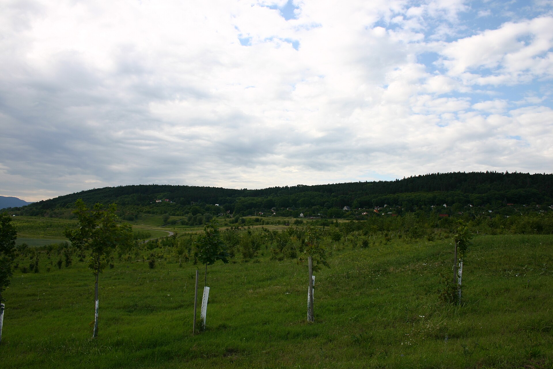
Lesenská pláň sits south of Hora Svaté Kateřiny, east of Rudolice v Horách, southeast of Malý Háj, and north of Lesná. Together with the neighbouring summit of Medvědí skála (924 m), it forms a small massif in the central part of the Ore Mountains — a range that runs along the Czech-German border and counts among the geologically oldest upland areas in Central Europe.
What is actually there to see?
The real draw of this spot isn't the bare summit but the Lesenská pláň Tourist Information Centre operating under the same name. Local tourism sources describe it as the highest-situated certified tourist information centre in the Ore Mountains within the Ústí region. Families travelling with children will find a playground and a wooden maze right by the centre, and a nearby lodge (Horský areál Lesná) offers a place to rest and get a bite to eat after a stretch on the trails. It works well as a stopping point mid-route, especially since mountain weather here can turn quickly.
How do you get to Lesenská pláň?
Two main routes lead to the information centre. From Chomutov, the drive runs through Jirkov, Jindřišská and Boleboř. From Most, it goes via Litvínov, Horní Jiřetín and Nová Ves v Horách itself. Both routes cut through the scenic, hilly terrain of the Ore Mountains, so it is worth building in extra travel time — particularly in winter, when the higher sections of road can be snow-covered.
It is worth knowing that the Lesenská pláň summit itself has no waymarked path leading to the top — this is a destination better suited to visitors after a quiet corner of the mountains than to peak-baggers working through a checklist. The practical starting point for exploring on foot is the infrastructure around the information centre rather than the massif itself.
The wider region
The name Lesenská pláň also refers to a microregion established in 2007, which brings together the municipalities of Vysoká Pec, Boleboř, Hora Svaté Kateřiny and Nová Ves v Horách. That says a lot about how closely this peak and its surroundings are tied to local tourism identity — a geographic name that grew into the brand for an entire area.
Nová Ves v Horách itself lies roughly 14 km northwest of Most and 39 km west of Ústí nad Labem, directly on the border with the German municipality of Deutschneudorf. That position makes the area popular with visitors from both sides of the border, especially those tracing routes across the Saxon-Czech borderland.
When is the best time to visit?
The Ore Mountains are best visited from late spring through early autumn, when access roads and trails are fully open and temperatures suit longer walks. Winters here can bring heavy snow, which is actually a draw for some visitors — the area is known, like the rest of the Ore Mountains, for its cross-country skiing routes.
Frequently asked questions
Is there a marked trail to the Lesenská pláň summit? No, the summit has no waymarked path. The actual destination for most visitors is the surrounding information centre and its grounds rather than the bare peak.
What can you do around the tourist information centre? Children can use the playground and wooden maze on site, and the nearby mountain lodge offers a place to rest and eat after a hike.
How do you get to Lesenská pláň? The easiest approach is from Chomutov (via Jirkov, Jindřišská, Boleboř) or from Most (via Litvínov, Horní Jiřetín, Nová Ves v Horách).
Is Lesenská pláň just a mountain, or also a region's name? Both — it is the name of the 921-metre summit and of a microregion established in 2007 that groups four neighbouring municipalities.
Nearby places

Earn badges for the places you visit
Download NextOnTrip, discover new places and check off your trails.