About this place
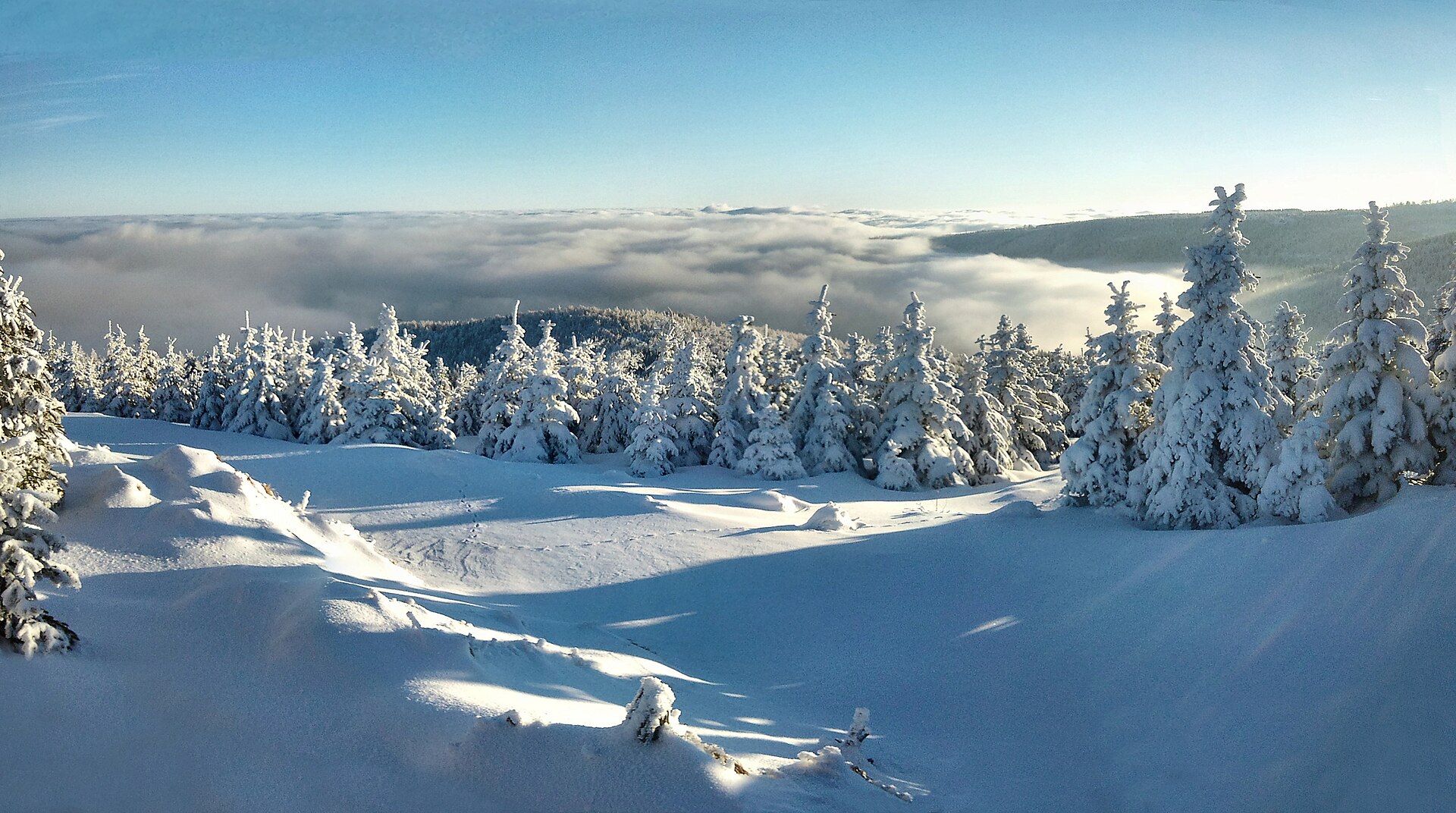
Lauschhübel (Czech: Čihadlo) is an 842-metre summit in the Ore Mountains (Krušné hory / Erzgebirge), right on the Czech-German border, within the Kalek municipality.
Where exactly is it?
The peak sits roughly 3.5 km west of the village of Kalek, in the Chomutov District of the Ústí nad Labem Region. Administratively it falls under the cadastral area of Načetín, a former settlement tied to the German-speaking history of the Ore Mountains before 1945, now part of Kalek. Chomutov, the nearest larger town, is about 14 km away, while Prague lies just under 100 km to the southeast.
The dual naming — German "Lauschhübel" and Czech "Čihadlo" — reflects the region's history: before the post-war population transfers, this border area was predominantly German-speaking, and most peaks and settlements carried two names that are still both in use today.
What will you find at the top?
Lauschhübel is a rocky, mostly forested summit with an exposed rock outcrop at its highest point. The view from there is notably good toward Saxony, the German side of the range.
On the summit clearing stands a large rock block topped by a granite triangulation pillar — a leftover from the Saxon geodetic survey network dating back to 1869. It's a small piece of cartographic history: such pillars were used to fix a peak's exact position for 19th-century military and civilian mapping. Next to it sits a metal box holding a summit logbook, a tradition on both Czech and Saxon hilltops where hikers sign in with their name and the date of their climb.
The western slope holds a small nature reserve, and within it stands a memorial to Josef Rohner, a forest ranger who was shot by smugglers in 1866. It's a quiet reminder of the region's turbulent past, when cross-border smuggling between Saxony and Bohemia was common and forestry and customs staff regularly clashed with contrabandists working the mountain passes.
How do you get there?
There's no officially marked trail leading directly to Lauschhübel's summit, which makes it more of a destination for experienced hikers looking for a quieter route off the main network. The easiest approach follows a path from Načetín through Načetín I toward Kühnhaid; near a spring, a wide forest track branches off toward the eastern slope of the hill, from which a short climb leads to the top.
The wider area, though, is well served by cross-border hiking routes linking the Czech and German sides of the Ore Mountains — popular trails connect Kalek with the German villages of Rübenau and Reitzenhain, passing close to Lauschhübel along the way. It works well as a stop on a longer cross-border hike that strings together several summits in one outing.
When's the best time to visit?
Late spring through summer is the best window for climbing Lauschhübel, when the forest tracks are dry and passable and the view from the rock outcrop isn't obscured by the mist that's common in the Ore Mountains during autumn and winter. Given the elevation (842 m) and the exposed mountain climate, expect noticeably cooler conditions than in the lowlands nearby — a light jacket is worth packing even in summer.
Frequently asked questions
Is there a marked trail to the top of Lauschhübel? No, there's no officially signposted route. The simplest approach is the forest track from Načetín toward Kühnhaid, where a side path branches off toward the eastern slope and leads up to the summit.
Why does the peak have two names, Lauschhübel and Čihadlo? They're German and Czech names for the same summit, both still used today — a legacy of the border region's mixed German-Czech naming history before the 20th-century population changes.
What's actually at the summit besides the view? A granite triangulation pillar from 1869, part of the historic Saxon survey network, plus a logbook box where hikers can sign in.
Is it worth detouring to the western slope? Yes — it holds a small nature reserve with a memorial to forest ranger Josef Rohner, killed by smugglers in 1866, a tangible trace of the area's smuggling-era history.
Nearby places

Earn badges for the places you visit
Download NextOnTrip, discover new places and check off your trails.