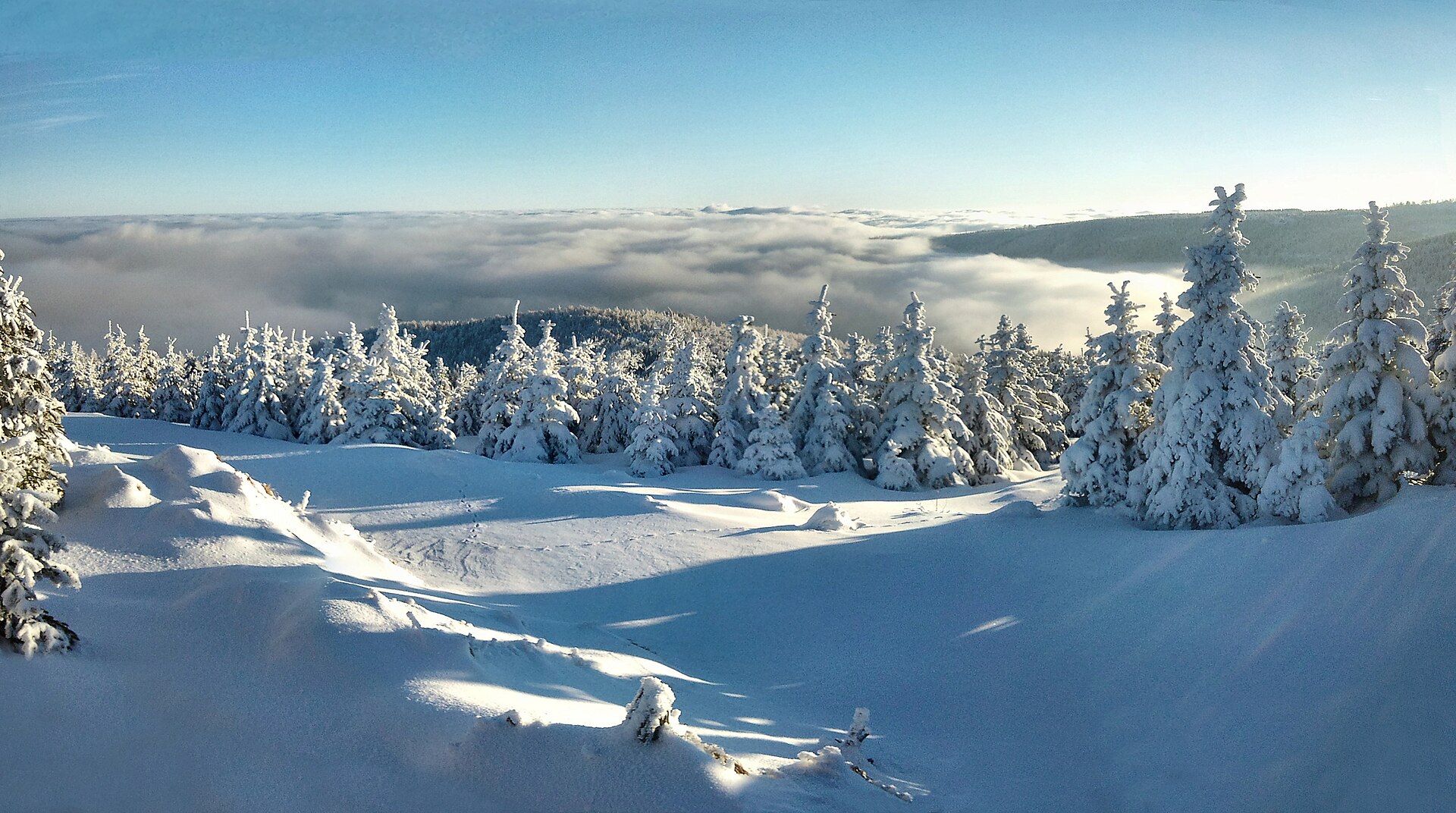
About this place
Vysoká seč is a summit in the Krušné hory (Ore Mountains), close to the small town of Perštejn, which is connected to the peak by a well-known hiking route that runs right over the top. At 1006 metres above sea level, Vysoká seč is one of the roughly fourteen thousand-metre peaks found along the Czech side of the Ore Mountains, a range that stretches along the border with Germany and draws hikers in every season.
Where is Vysoká seč?
The summit sits on the main ridge of the Krušné hory, about 2 km west-northwest of the village of Vykmanov and roughly 8.5 km east of Boží Dar, one of the region's best-known ski resorts. Měděnec lies nearby as well, and the name of a local trail junction, "Pod Vysokou sečí" ("Below Vysoká seč"), makes clear that the peak is the main landmark for the whole area. Perštejn itself, with the ruins of its medieval castle overlooking the village, lies in the Chomutov district and works well as either a starting point or a finishing point for a hike up the mountain's slope.
What will you see at the top?
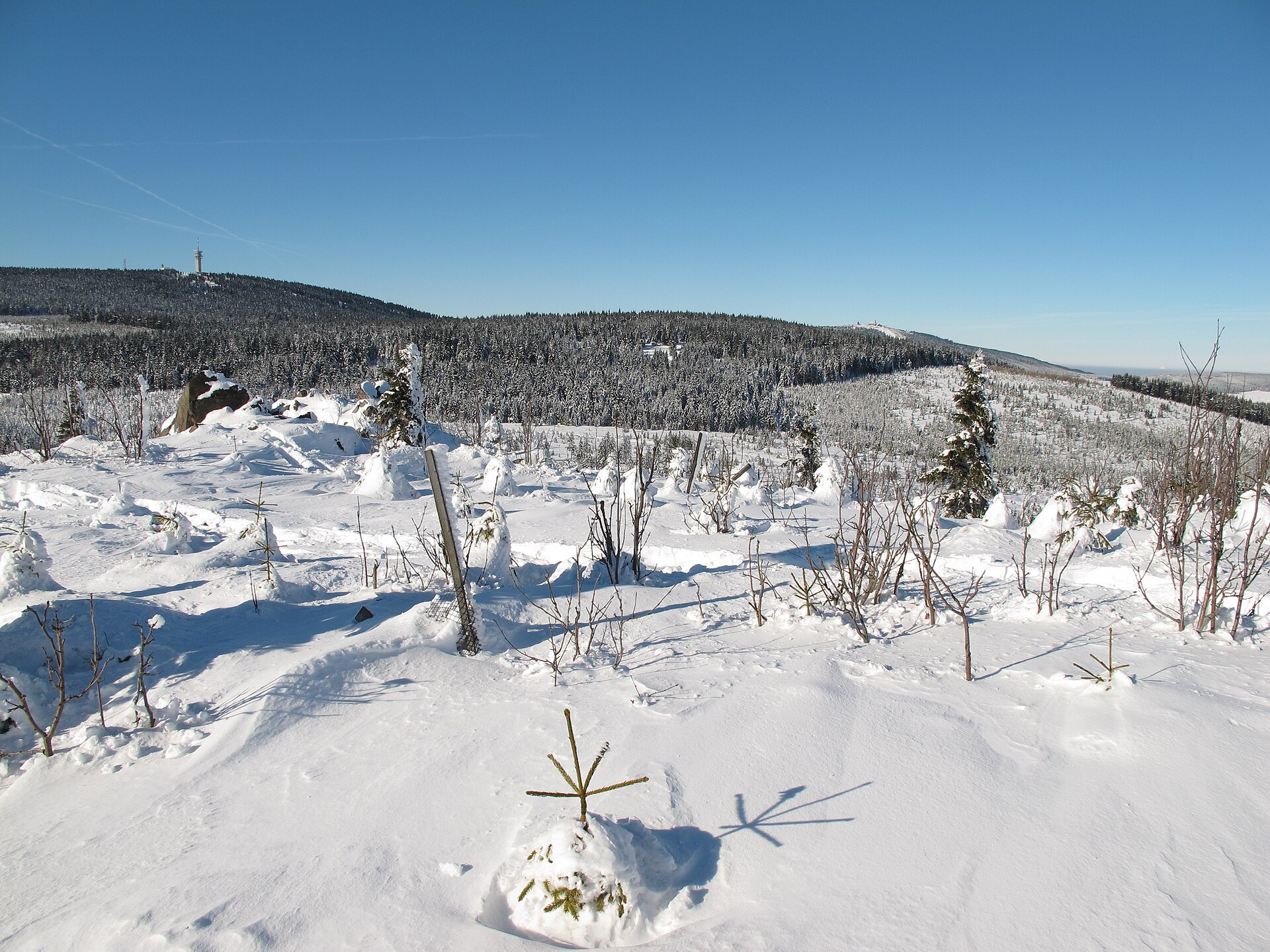
Vysoká seč was almost entirely stripped of trees some years ago and then replanted with young spruce, pine and maple. Precisely because the new forest is still low, the summit plateau offers a surprisingly open view even though there is no lookout tower here. The best panorama opens up to the southwest, toward the hill of Meluzína, and to the west, where the outline of Klínovec — the highest peak in the entire Ore Mountains — comes into sight. It's an unusual chance to take in the rolling, ridge-top landscape of the Krušné hory without needing to climb any purpose-built viewing platform.
How do you get there?
There is no marked trail, and not even an established unmarked path, leading directly to the top of Vysoká seč — this is a destination for hikers comfortable moving off the beaten track. The easiest approach is along the road connecting Boží Dar and Měděnec, which runs along the mountain's northern slope. At the junction known as "Pod Vysokou sečí," a red-marked trail branches off to the south, and after about 500 metres an unmarked path splits off heading west — the same route that doubles as a groomed cross-country skiing trail in winter. Hikers planning a longer day can combine the climb up Vysoká seč with a descent into Perštejn, where the reward is the castle ruins and a view over the valley below.
When should you visit?
Summer and early autumn, when the trails are dry and visibility is at its best, are the most comfortable times to explore the unmarked paths around the summit. In winter, Vysoká seč becomes part of the local cross-country ski network, which makes it appealing for winter sports as well — though the open, high-lying plateau can turn windy and cold, so it pays to come prepared.
Frequently asked questions
Is there a marked trail to the top of Vysoká seč? No — there is neither a marked nor a maintained unmarked trail all the way to the summit. Hikers reach it from the nearby Boží Dar–Měděnec road, following a stretch of red-marked trail and then a short, unmarked approach.
Is there a lookout tower on the summit? No, there is no lookout tower. The open views come from the terrain itself — the young, low forest that grew back after the mountain was deforested and replanted.
How high is Vysoká seč? The summit reaches 1006 metres above sea level, placing it among the thousand-metre peaks of the Krušné hory.
Can a hike here be combined with a visit to Perštejn? Yes — a well-known hiking route runs from Vysoká seč down into Perštejn, so the trip can be rounded off with a visit to the ruins of the local castle.
Nearby places

Earn badges for the places you visit
Download NextOnTrip, discover new places and check off your trails.