About this place
Macecha is a flat, forested summit in the Ore Mountains (Krušné hory), situated within the territory of Loučná pod Klínovcem in the Chomutov district. At 1,114 metres above sea level, it ranks as the second-highest peak in the entire Ústí nad Labem Region, surpassed only by the eastern summit of Klínovec — yet it remains largely overlooked even by hikers who regularly visit that famous neighbor.
Where exactly is Macecha?
The summit sits roughly 1.5 km south of the village of Háj, wedged between Klínovec and Meluzína — two considerably more popular elevations in this stretch of the Ore Mountains. Together the three peaks form a rough triangle, but unlike its neighbors, Macecha has no dedicated tourist infrastructure or viewpoint at the top.
Where does the name come from?
The backstory behind the name is more interesting than the summit itself. Its original German name was Stiefmütterberg — literally "stepmother's mountain." In 1976, a district geographic naming committee translated this name into Czech, producing the form Macecha (from "macecha," meaning stepmother). The name has nothing to do with any local legend; it is simply the result of an administrative standardization of place names carried out under communist Czechoslovakia.
How do you get to the summit?
No marked hiking trail leads directly to Macecha's top, which is one reason the peak mainly attracts "tisícovkáři" — hikers who make it their goal to summit every Czech peak over 1,000 metres — along with anyone deliberately planning an off-trail approach. The most convenient access is via the road connecting Boží Dar and Měděnec, which skirts Macecha from the north; it is followed by red and green waymarked hiking trails as well as cycling routes No. 23 and No. 3002. From the Selský les crossroads, an unmarked forest path climbs further toward the top and is the route most commonly used by hikers aiming for the summit specifically.
What will you see at the top?
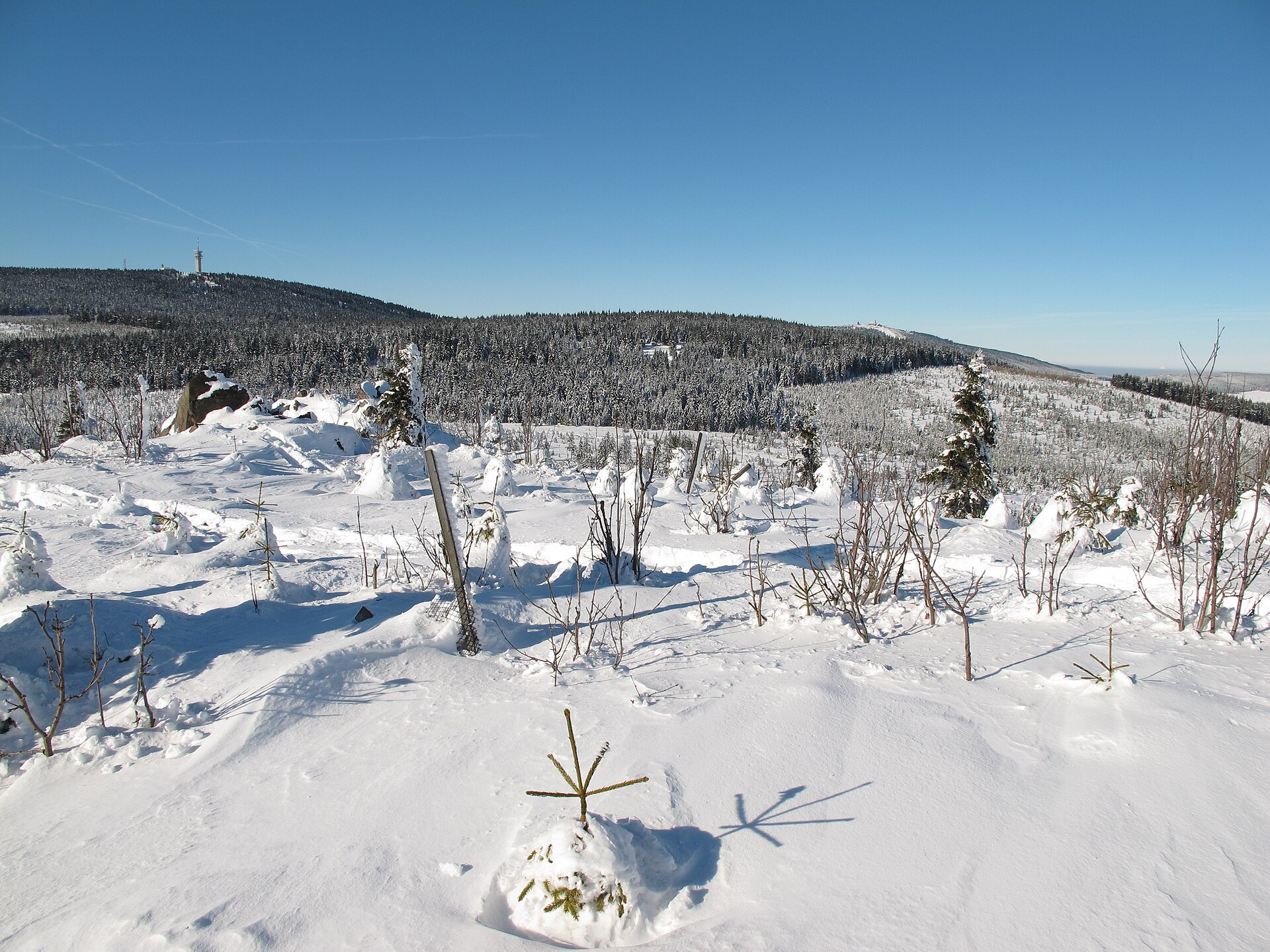
The summit is covered mainly by spruce forest and the terrain itself is flat, without a clearly defined high point visible from a distance. Unlike neighboring Meluzína, Macecha offers no wide panoramic view — the dense tree cover blocks it almost entirely. Only two meadows on the southern slope and a stretch of lower, thinner forest on the eastern slope provide partial glimpses of the surrounding Ore Mountains landscape.
Who is Macecha for?
This is a destination for hikers who value quiet, off-the-beaten-path walking over a scenic reward at the summit. It pairs well with a trip to nearby Klínovec or Meluzína, both of which offer exactly what Macecha lacks — sweeping views and developed tourist infrastructure, including lifts and places to eat.
Frequently Asked Questions
Is there a view from the top of Macecha? No — the summit is densely covered by spruce forest and has no viewpoint. Only two meadows on the southern slope and thinner forest on the eastern slope offer limited glimpses of the surrounding landscape.
How high is Macecha? 1,114 metres above sea level, making it the second-highest peak in the Ústí nad Labem Region after the eastern summit of Klínovec.
Where does the name Macecha come from? It is the Czech translation of the German name Stiefmütterberg ("stepmother's mountain"), officially adopted by a district naming committee in 1976.
Is there a marked trail to the summit? Not directly to the top. Access is via the road between Boží Dar and Měděnec (followed by red and green trail markers and cycling routes 23 and 3002) and an unmarked forest path from the Selský les crossroads.
Nearby places

Earn badges for the places you visit
Download NextOnTrip, discover new places and check off your trails.