About this place
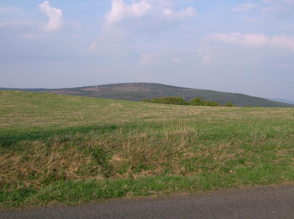
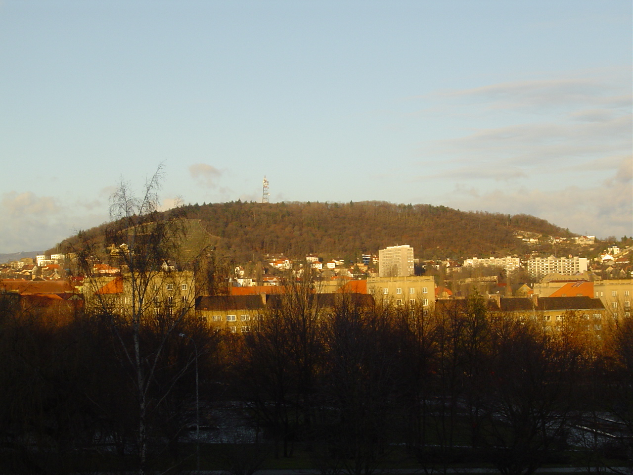
Loučná is the highest peak of the eastern Ore Mountains (Krušné hory) and the highest point in the entire Most District, rising above the small town of Lom in the Ústí nad Labem Region of the Czech Republic. The mountain takes its name from the village of Loučná, now a part of Lom, within whose cadastral territory the summit lies.
Where exactly is Loučná?
The peak stands at 955.9 metres above sea level, making it the tallest point of the eastern Krušnohoří range. It sits roughly 5.5 km north of Litvínov as the crow flies, and about 3.5 km south of the Fláje dam (Flájská přehrada). The surrounding terrain is classic eastern Ore Mountains scenery: high, rolling ridgelines separating the Most basin from the German side of the range.
What will you find on the summit?
The upper slopes are covered in birch and beech, mixed with regenerating spruce forest that has gradually replaced older stands killed off in the second half of the 20th century by industrial emissions from the mining and power-generation districts nearby. Two granite rock outcrops rise from the flat summit plateau, visible from the approach path well before you reach the top. From the open plateau, views open up in almost every direction except north — you can pick out the main Ore Mountains ridge, the Most basin below, the Teplice area, and even a slice of the České středohoří (Central Bohemian Uplands) across the valley.
How do you get to the top?
The easiest approach starts from the village of Dlouhá Louka, from where the walk up is moderately demanding — manageable for anyone with average fitness, without technical difficulty. The main trail serving the area is the blue-marked hiking route running from Litvínov through Meziboří to Dlouhá Louka; a spur leading directly to the Loučná summit was marked off this trail in the late 1990s. It's worth planning the hike as a loop from either Litvínov or Meziboří, combining the ascent with a stop in Dlouhá Louka on the way back.
When is the best time to visit?
Clear spring and autumn days give the best visibility, since the air tends to be cleaner and the trees haven't yet fully leafed out to block the view. Summer makes for an easier, drier walk but brings more day-trippers up from the Most and Litvínov area. In winter the summit is often snow-covered, so proper footwear and some hiking experience are needed — fittingly, Dlouhá Louka also has its own small ski area, which keeps the region worth visiting year-round.
The village of Loučná and the town of Lom
The village of Loučná itself, now administratively part of Lom, has around 870 residents, and its earliest known written record dates back to 1549. Lom as a whole is a small town in the Most District with just over 3,700 inhabitants, whose history since the 17th century has been closely tied to the mining of iron ore and, later, brown coal — resources that shaped both the landscape and the economy of the wider Most region for centuries. Lom itself was only granted town status in 1938, even though settlement in the area goes back much further.
Frequently asked questions
How high is Loučná? The summit reaches 955.9 metres above sea level, making it the highest point of the eastern Ore Mountains and of the entire Most District.
Where should you start the hike? The village of Dlouhá Louka is the most convenient starting point, offering a moderately demanding route to the top. You can also reach the area via the blue trail from Litvínov through Meziboří.
Is the view from the top worth the climb? Yes — the open summit plateau offers views in nearly every direction except north, taking in the Ore Mountains ridge, the Most basin, the Teplice area, and part of the Central Bohemian Uplands.
Is the village of Loučná the same place as the summit? Not quite. The mountain lies within the cadastral area of the village of Loučná, which is today part of the town of Lom, but the village's actual houses sit lower down, at the foot of the mountain.
Nearby places

Earn badges for the places you visit
Download NextOnTrip, discover new places and check off your trails.