About this place
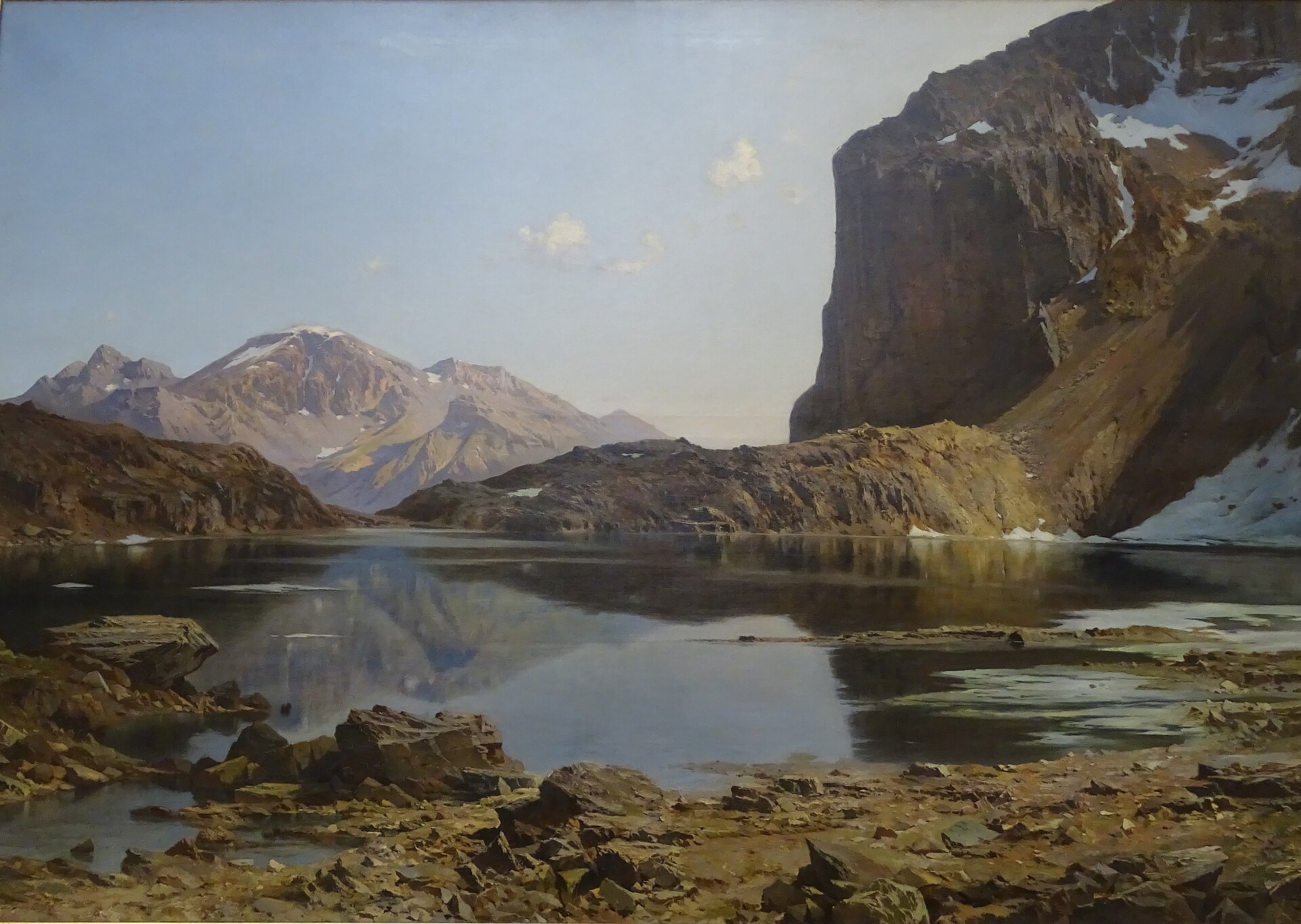
Lac de l'Eychauda is a glacial lake sitting at 2,514 m above sea level, within the commune of Vallouise-Pelvoux in the Hautes-Alpes. It ranks among the three largest lakes in the Écrins massif and is the largest cirque lake in the French Alps, making it a rewarding day-hike destination that pairs glacier scenery with the quiet of a high alpine valley.
Where exactly is the lake?
Eychauda lies in the core zone of Écrins National Park, in the Briançonnais area, at coordinates 44.932, 6.478. The lake sits at the bottom of a glacial cirque ringed by steep ridges, overlooked from above by the Séguret Foran glacier. The approach passes near the GR 54, the long-distance trail also known as the Tour de l'Oisans, which circles the entire Écrins massif.
How do you get there?
The usual starting point is the car park at the hamlet of Chambran, at roughly 1,719 m, close to Vallouise. From there the trail climbs steadily through alpine pastures, following the valley upward until a rocky step opens onto the lake basin. The round trip covers about 11 km with roughly 850 m of elevation gain. Depending on fitness and pace, most hikers need the better part of a day — starting early is a good idea, especially in summer, when afternoon thunderstorms are common in this part of the Alps.
Why is the water milky blue?
The lake is fed by meltwater from the Séguret Foran glacier. Fine rock powder carried by the glacial water — often called glacial flour — gives the lake its distinctive pale, milky-blue color. Because of the altitude and the glacier's proximity, the lake is only ice-free for about three to four months a year, and floating chunks of ice can still appear on the surface even in summer. This short window is essentially the only time any biological activity takes place here; for the rest of the year the surface stays frozen and still.
When is the best time to visit?
The wider hiking season runs from May to October, but the trail and the lake itself are usually free of significant snow and ice only from July to September. Earlier in the season, snow patches can linger on the higher stretches just below the lake, so it is worth checking recent trail reports before setting out.
Frequently asked questions
How high up is Lac de l'Eychauda? The lake sits at 2,514 m above sea level, in the Écrins massif.
How was the lake formed? It is a cirque lake, carved out by the Séguret Foran glacier during a period of glacial retreat. The glacier still overhangs the lake today and continues to feed it with meltwater.
How long does the hike take? From the Chambran car park, the round trip is about 11 km with around 850 m of elevation gain, typically taking five to seven hours depending on pace and stops.
Is the trail difficult? It is a demanding but non-technical mountain hike — a long, steady climb through pastureland, best suited to hikers in good condition who are used to high-altitude trails.
Is the lake inside a national park? Yes. Lac de l'Eychauda lies in the core zone of Écrins National Park, which means staying on marked trails, avoiding wild camping outside designated areas, and not disturbing wildlife.
Can you really see ice on the lake in summer? Yes — due to the altitude and short thaw period, blocks of ice can still float on the surface even in the middle of summer, one of the lake's most distinctive features.
Nearby places

Earn badges for the places you visit
Download NextOnTrip, discover new places and check off your trails.