About this place
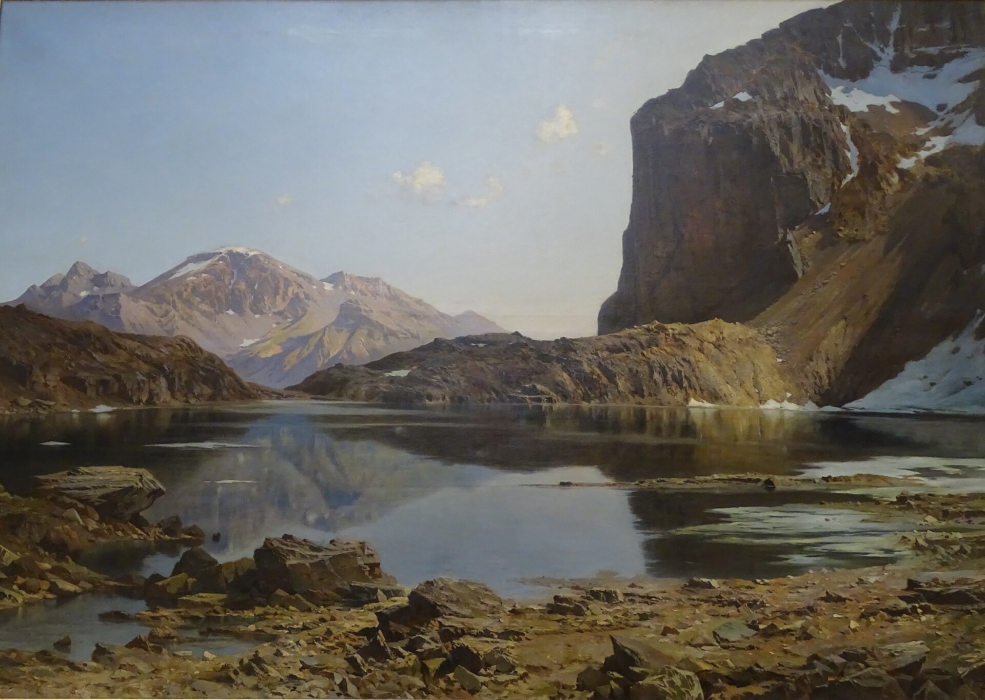
Grand Lac de l'Oule is a high-altitude lake in the Cerces massif in the Hautes-Alpes, sitting at roughly 2,425 metres above sea level on the divide between the Névache valley and the Guisane valley. It falls within the commune of La Salle-les-Alpes, although most hikers approach it from Névache as well. Its turquoise-blue water, framed by jagged rocky ridges, gives the setting a stark, almost lunar character that makes it one of the more distinctive lakes in this corner of the Alps.
Where exactly is the lake?
The lake sits at the heart of the Cerces massif, between the Névache and Guisane valleys, ringed by rocky crests including the rock formation known as Grand Pierron. The terrain here is classic high-mountain scenery — open alpine pastures, scree slopes, and sparse vegetation above the treeline. Nearby, within the same commune, lies the smaller Lac de Cristol, which many hikers visit on the same outing.
How do you get there?
The best-known approach starts from the Col du Granon and climbs toward the Col de l'Oule before descending to the lakeshore — a relatively straightforward route across wide pastures, with views over the Cerces massif and the rock walls of Grand Pierron. A second option starts in Névache, from the Fort Ville car park at around 1,585 metres. This longer approach covers about 9.3 km one way with roughly 890 metres of elevation gain, and takes around 5 hours 30 minutes for the round trip. Parts of the trail network here overlap with the GR5c long-distance path, which continues on toward the lakes below the Cristol peak.
Is there a longer loop worth doing?
Yes — the area around Grand Lac de l'Oule is also the starting point for a longer loop of about 18 km with around 800 metres of elevation gain, linking roughly four mountain lakes above 2,000 metres in a single day out. It suits hikers with solid fitness and some mountain experience who want to turn the visit into a full-day trip rather than a simple there-and-back walk.
What makes the lake worth seeing?
The lake's main draw is its colour: a turquoise-blue surface set against grey and reddish rock. The jagged skyline and the isolated, stony valleys around it have earned the area comparisons to a western-film backdrop or a lunar landscape. It's a spot that particularly rewards hikers looking for mountain photography and quiet trails away from the busier paths of the Écrins massif just to the south.
Frequently asked questions
How high up is Grand Lac de l'Oule? The lake lies at around 2,425 metres above sea level.
Where's the best starting point for the hike? The two main options are the approach from the Col du Granon, which passes the Col de l'Oule, and the longer route from Névache starting at the Fort Ville car park at about 1,585 metres.
How long does the hike take? From Névache, count on roughly 9.3 km one way and about 5 hours 30 minutes round trip, with 890 metres of elevation gain. Hikers wanting to see more of the area can opt for the loop of about 18 km connecting several lakes.
Are there other lakes nearby? Yes — the same commune of La Salle-les-Alpes is also home to Lac de Cristol, often visited on the same route.
Is the hike difficult? The Col du Granon approach is considered easier and accessible to most hikers, while the longer Névache route and the multi-lake loop require better fitness and some mountain hiking experience.
Nearby places

Earn badges for the places you visit
Download NextOnTrip, discover new places and check off your trails.