About this place
Lac de Cristol is a mountain lake sitting at 2,245 metres above sea level in the Cerces massif, within the municipality of La Salle-les-Alpes in the Hautes-Alpes department. It lies right on the divide between the Clarée and Guisane valleys, at the meeting point of the Serre Chevalier ski area and the Clarée valley, surrounded by a stark, rocky alpine landscape.
Where exactly is the lake?
Lac de Cristol sits on the north-facing slope of the Cerces range, above the Serre Chevalier resort area that La Salle-les-Alpes belongs to. It shares its high mountain setting with several neighbouring lakes: Lac de l'Oule (2,425 m) and Lac Rond (2,339 m) lie close by, with the peak of La Gardiole (2,753 m) rising above the group. This cluster of lakes is often listed among the notable high-altitude attractions of the wider Hautes Vallées area, which also includes La Grave, the Clarée valley and Izoard.
How do you get there?
From Col du Granon
The most common and easiest approach starts at Col du Granon, on the Guisane valley side. The route runs partly on marked trail and partly off-trail, and it's easy to turn the walk into a loop that also takes in the neighbouring Lac de l'Oule before returning to the pass.
From Névache
A second option climbs from the village of Névache in the Clarée valley, following a stretch of the GR5c long-distance trail. This approach is noticeably tougher: it runs through forest, gains roughly 800 metres of elevation, and is generally described as demanding, if scenic.
What is there to see?
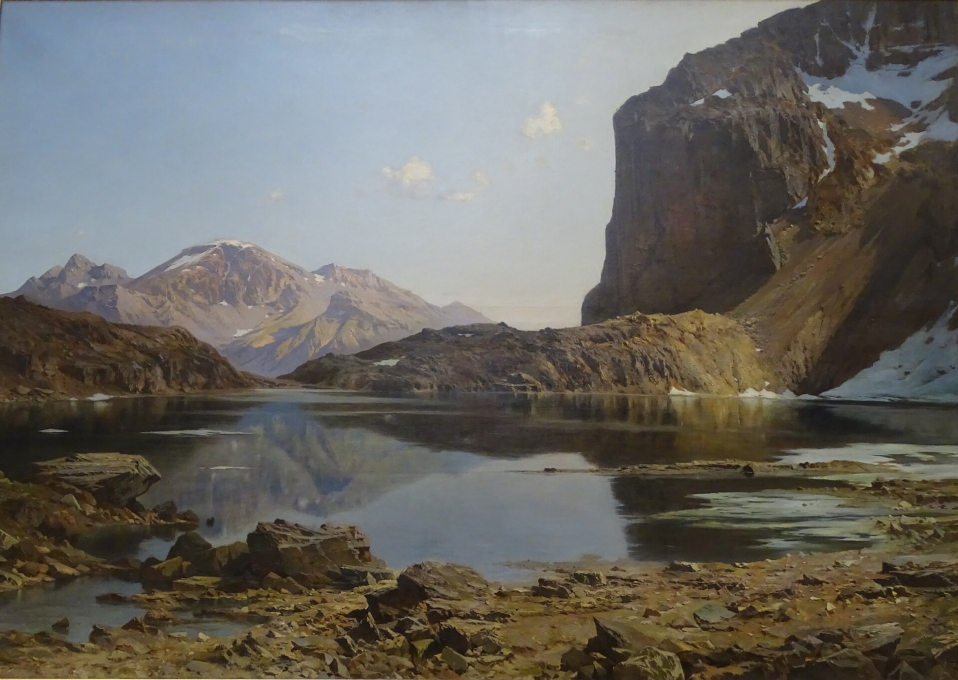
The shores are lined with rhododendrons, which give the setting a distinctive look, especially in summer. Beyond that, the landscape is typical of high alpine lakes above the treeline: bare rocky slopes, open pastureland, and views toward the surrounding peaks of the Cerces massif. The lake is also mentioned in some sources as a spot used by anglers fishing high-altitude waters, though that's worth checking locally before planning a fishing trip.
Who is the hike suited for?
Trails leading to Lac de Cristol are rated as moderate to difficult — this isn't a beginner's stroll, particularly on the Névache side. The loop from Col du Granon is generally considered the more approachable option and is a popular summer choice for visitors based in the Serre Chevalier area.
Frequently asked questions
How high up is Lac de Cristol? The lake sits at an altitude of 2,245 metres.
Where's the best place to start the hike? The simplest and most commonly recommended access is from Col du Granon, on the Guisane valley side. A harder alternative climbs through forest from Névache, following the GR5c trail.
Can the visit be combined with other lakes? Yes — Lac de l'Oule and Lac Rond lie in the immediate vicinity, making it possible to plan a longer loop covering several lakes of the same range.
Is the trail difficult? The hike is considered demanding, especially the Névache approach with its roughly 800 metres of climbing. The Col du Granon route is usually described as more accessible, though it still runs partly off marked paths.
What does the lake look like? Lac de Cristol lies in a rocky, high-mountain setting, its shores fringed with rhododendrons, with views toward the surrounding peaks, including the dominant Gardiole above.
Nearby places

Earn badges for the places you visit
Download NextOnTrip, discover new places and check off your trails.