About this place
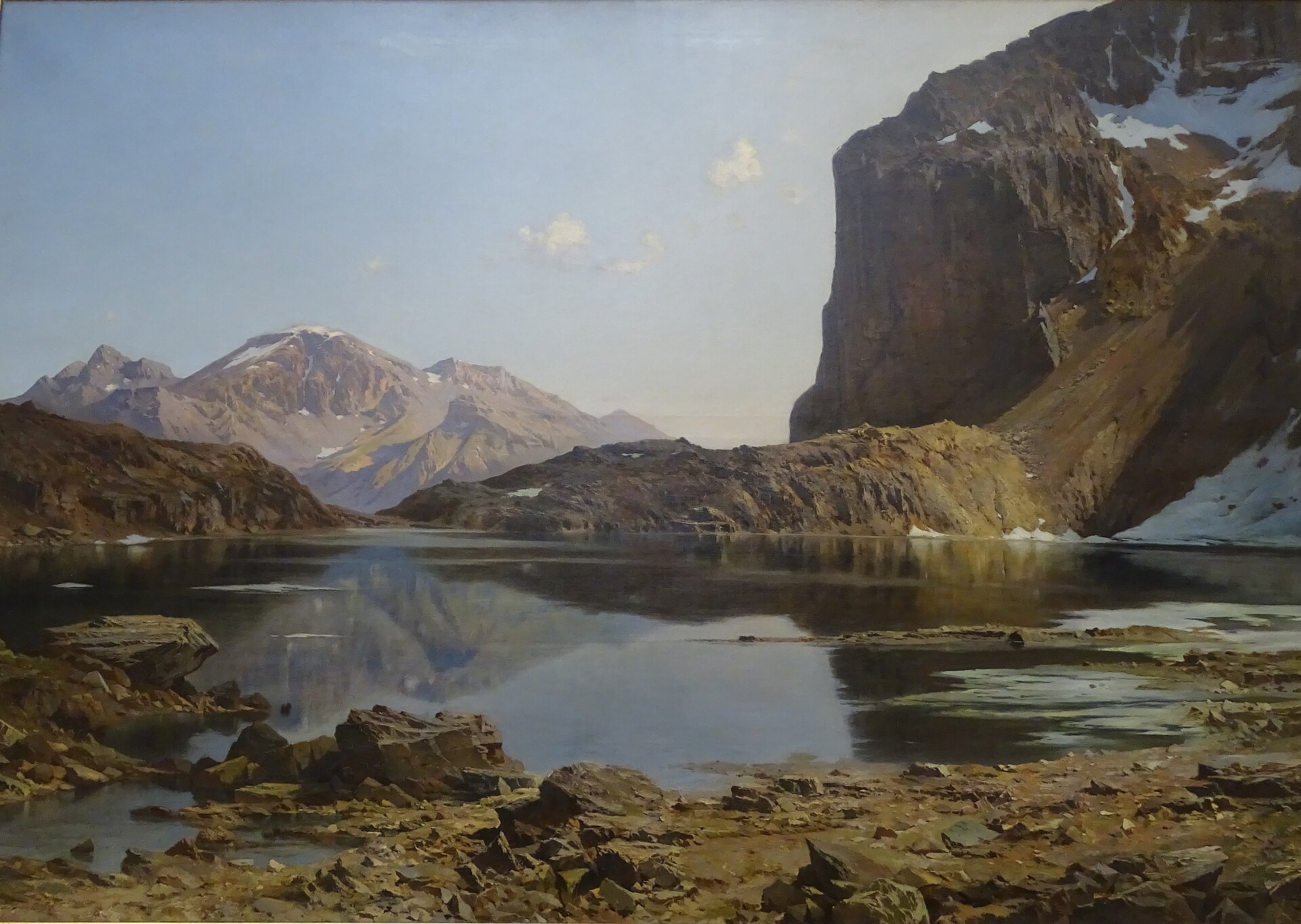
Lac de la Douche is a small mountain lake sitting at 1,901 m in the Écrins National Park, within the commune of Le Monêtier-les-Bains in the Hautes-Alpes department. It occupies the Petit Tabuc valley above the hamlet of Le Casset, right below the Casset Glacier, and lies close to the Serre Chevalier ski area. Depending on the season and light, the water shifts between pale grey and a striking opaque blue.
How do you get to Lac de la Douche?
The hike begins at the car park in Le Casset, roughly 2 km from Le Monêtier-les-Bains and about 17 km from Briançon via the D1091 and D300 roads. From the village, the path follows the main street, crosses the second bridge over the Guisane river, and then runs alongside the Petit Tabuc stream. It first crosses hay meadows before entering a larch forest. After passing the barrier and small bridge at Clot du Gué, the trail climbs steadily through the larch woods to the Grand Pré clearing (1,683 m) and continues on to the lake. The round trip covers about 8.2 km and takes around 2.5 hours of walking.
How difficult is the hike?
It's rated as an easy, family-friendly outing, well suited to children. The climb is steady but gentle, mostly winding through forest rather than over steep or exposed ground. Hikers looking for a longer day can extend the route toward the Col d'Arsine.
What is there to see along the way?
The lower meadows are frequented by roe deer at dawn, while chamois are occasionally spotted higher up in the larch forest. The walk along the Petit Tabuc torrent and through the woods offers varied mountain scenery, moving from open meadow to rockier terrain near the lake itself. Once at Lac de la Douche, hikers are rewarded with a view of the Casset Glacier, one of the main draws of the excursion.
Is the lake inside a national park?
Yes. Lac de la Douche lies within the Écrins National Park, and part of the approach trail overlaps with the GR 54, the long-distance route that circles the Écrins massif. Standard national park conservation rules apply to the site.
Can you swim or bring a dog?
Swimming is discouraged to protect the lake's natural environment, and dogs are not permitted around the lake, even on a leash, since the area falls under Écrins National Park regulations.
FAQ
Where exactly is Lac de la Douche located? The lake sits at 1,901 m in the Petit Tabuc valley, in the commune of Le Monêtier-les-Bains (Hautes-Alpes), within the Écrins National Park, near the Serre Chevalier ski area.
Where does the trail to the lake start? The trailhead is at the car park in Le Casset, about 2 km from Le Monêtier-les-Bains.
How long does the hike take? The round trip is about 8.2 km and takes roughly 2.5 hours of walking.
Is the trail suitable for children? Yes, it is rated easy and is a popular choice for families with children.
Can you swim in the lake? No, swimming is discouraged, as the lake is protected within the Écrins National Park.
Can the hike be extended? Yes, more experienced hikers can continue toward the Col d'Arsine.
Is this the same lake as Lac de la Ponsonnière? No. Lac de la Ponsonnière is also in the commune of Le Monêtier-les-Bains but belongs to a different mountain range, the Cerces-Thabor massif, whereas Lac de la Douche lies in the Petit Tabuc valley of the Écrins massif, beneath the Casset Glacier.
Nearby places

Earn badges for the places you visit
Download NextOnTrip, discover new places and check off your trails.