About this place
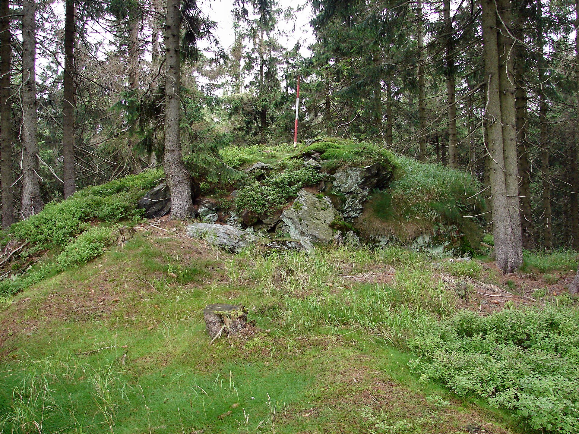
Hejlov is an 839-metre summit near Jablonec nad Jizerou, and the highest point of the Krkonoše Foothills (Krkonošské podhůří) geomorphological unit. It sits roughly 3.5 km east of the town, within its Bratrouchov district, making it a low-key destination for hikers and cyclists who want gentle countryside on the edge of the Giant Mountains rather than the crowded main ridge.
Where exactly is Hejlov?
The hill lies in the Liberec Region, Semily District, northern Czech Republic, administratively part of the municipality of Jablonec nad Jizerou and its local part Bratrouchov. A small settlement bearing the same name, Hejlov, sits right by the summit, alongside the nearby hamlets of Trejborec and Brno. A paved road passes close to the top, connecting Bratrouchov with Rokytno, a part of the town of Rokytnice nad Jizerou — which makes reaching the area noticeably easier than at many other hills in the region.
Where does the name come from?
The name Hejlov comes from a dialect word for the bullfinch, a small local bird known in standard Czech as hýl and in the regional dialect as hejl. It's a fairly typical pattern in Czech geographical naming, where a hill or hamlet takes its name from local wildlife rather than from a historical event or person.
How to get to Hejlov
The most convenient starting point is Jablonec nad Jizerou itself, from which the summit lies about 3.5 km to the east. The route runs through the rolling terrain of the Krkonoše Foothills — the transitional landscape between the Jelenia Góra Basin and the main Giant Mountains massif — without the steep climbs typical of the higher parts of the range. An alternative approach comes from the Rokytnice nad Jizerou side, via its local part Rokytno, from where a paved road leads toward Bratrouchov and passes near the summit. The terrain suits both walking and cycling, and is a good option for visitors who want easier going than the main Krkonoše ridge offers.
What to expect on the way
As the highest point of the Krkonoše Foothills, Hejlov serves as a natural landmark for the whole area at the base of the Giant Mountains. The surrounding countryside keeps the scattered, rural character typical of foothill settlements in the Liberec Region, with individual farmsteads and small clusters of houses — Hejlov, Trejborec, Brno — spread among meadows and forest. It's a landscape for combining light physical activity with quiet, away from the busier Krkonoše trails.
When to visit
Thanks to its modest elevation and gentle terrain, Hejlov is accessible pretty much year-round. Spring and summer are good for walking and cycling on the surrounding roads and paths, autumn brings good conditions for strolling through the colourful foothill forests, and in winter the gentle slopes are sometimes used for cross-country skiing, depending on the season's snow cover.
Frequently asked questions
How high is Hejlov? The summit reaches 839 metres above sea level and is the highest point of the Krkonoše Foothills geomorphological unit.
How far is Hejlov from the centre of Jablonec nad Jizerou? About 3.5 km to the east, within the municipality's Bratrouchov district.
Can you drive or cycle close to the summit? Yes — a paved road passes near the top, linking Bratrouchov with Rokytno, part of Rokytnice nad Jizerou.
Where does the name Hejlov come from? From the dialect name for the bullfinch (Czech hýl/hejl), a bird found in the region.
Nearby places

Earn badges for the places you visit
Download NextOnTrip, discover new places and check off your trails.