About this place
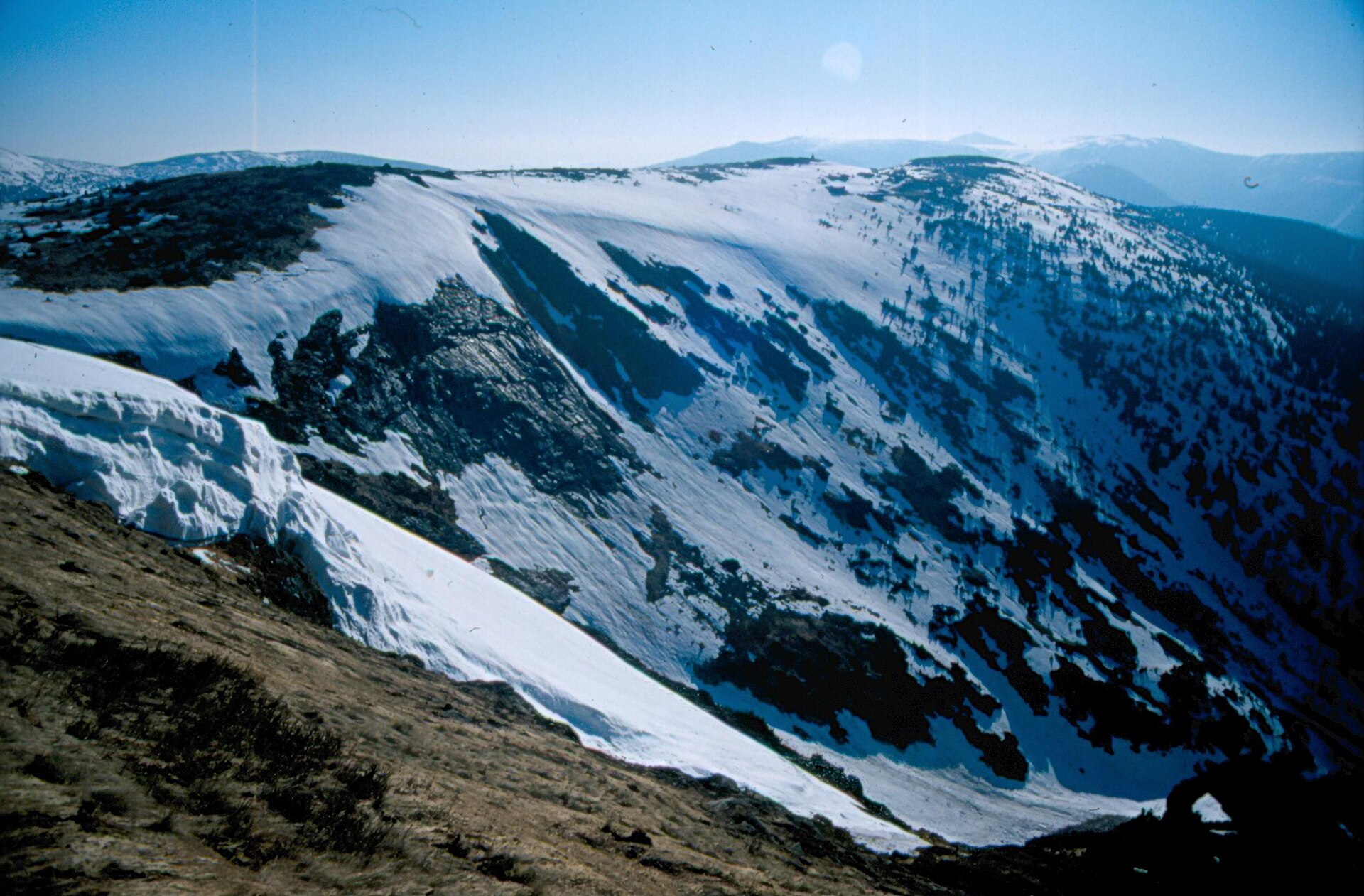
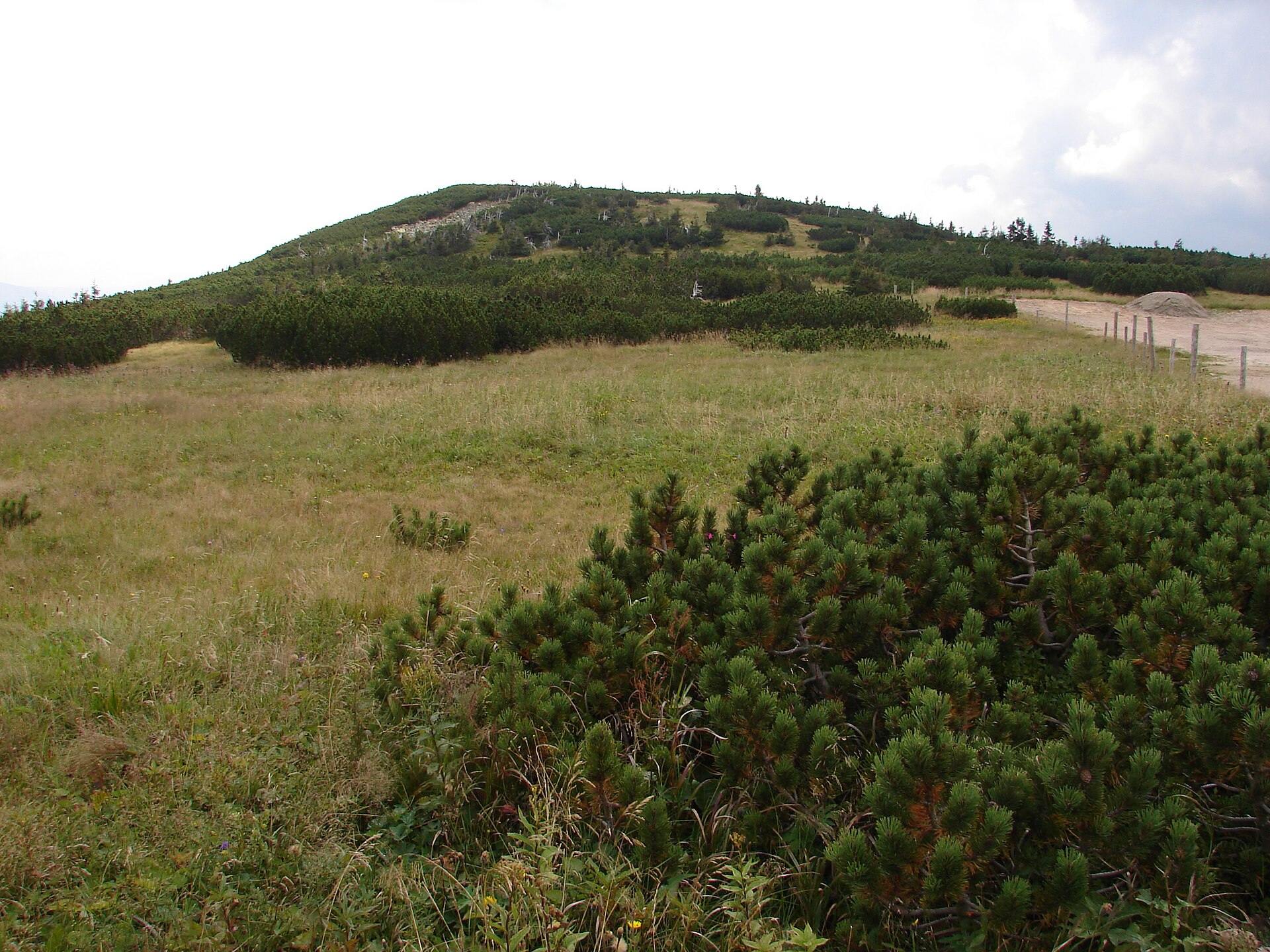
Lysá hora is a mountain in the western Krkonoše (Giant Mountains), part of the Czech Ridge (Český hřbet) near Rokytnice nad Jizerou. It rises between Plešivec to the west and Kotel to the east, forming one of the recognizable high points along this side ridge that separates the Krkonoše from the neighboring Jizera Mountains.
Where is it located?
Lysá hora sits in the western part of the Czech Krkonoše, within the Czech Ridge — a range running roughly parallel to the main Krkonoše crest, separated from it by the Jizera river valley. Its summit lies at approximately 50.7536°N, 15.51°E, placing it right next to Rokytnice nad Jizerou, the small town that serves as the main gateway to this part of the mountains. Its immediate neighbors are Plešivec on the western side and Kotel on the eastern side; together, the three peaks form a chain that is easy to pick out on hiking maps of the area.
How to get there?
Most visitors start from Rokytnice nad Jizerou, from where local roads and marked trails lead into the Czech Ridge. The town sits right on the boundary between the Krkonoše and the Jizera Mountains, making it a convenient base for trips into either range. It can be reached by car from Liberec or Jablonec nad Nisou, with local roads continuing toward the mountains from there. The area around Lysá hora, Plešivec and Kotel is typical mid-mountain hiking terrain — gentler than the main Krkonoše ridge, but still worth approaching with proper footwear and a planned route.
What should you know before visiting?
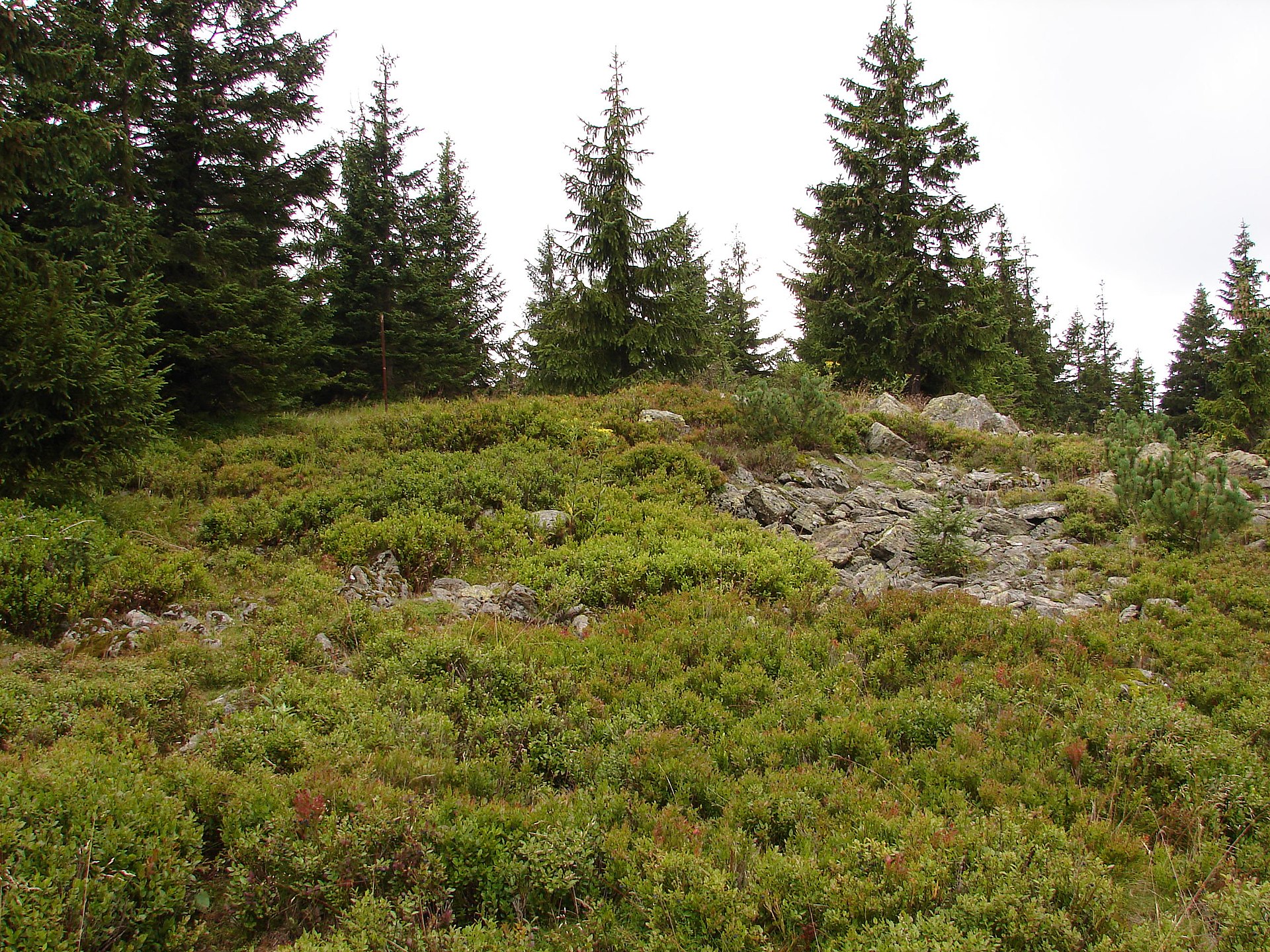
The Czech Ridge, which Lysá hora belongs to, has a different character from the highest parts of the Krkonoše: instead of alpine rock formations and glacial cirques, it offers forested, calmer hills typical of the mid-mountain landscape along the Czech-Polish border. That makes the area a popular choice for hikers looking for a quieter alternative to the busier trails around peaks like Śnieżka or Szrenica. Because Lysá hora sits between Plešivec and Kotel, it fits naturally into longer ridge walks that string several summits together in a single outing.
When to visit?
The best months for hiking in this part of the Krkonoše run from May to October, when trails are fully accessible and weather allows for a comfortable ridge walk. In winter, the area around Rokytnice nad Jizerou turns into a destination for skiers and other winter-sports visitors, though higher hiking routes require proper preparation and gear at that time of year. Spring and autumn are good choices for travelers who prefer quieter trails with fewer other hikers around.
Frequently asked questions
Where exactly is Lysá hora located in the Krkonoše? In the western part of the Czech Krkonoše, along the Czech Ridge, between Plešivec to the west and Kotel to the east, close to Rokytnice nad Jizerou.
How does the Czech Ridge differ from the main Krkonoše crest? It is lower and more forested, without the alpine rock formations found on the highest Krkonoše peaks, making it a calmer area for hiking.
What's the best base for exploring this area? Rokytnice nad Jizerou, a town right on the border between the Krkonoše and the Jizera Mountains, with easy access to local trails.
When is the best time to hike here? From May to October, when trails are fully walkable, though the wider region also draws winter-sports visitors in the colder months.
Nearby places

Earn badges for the places you visit
Download NextOnTrip, discover new places and check off your trails.