About this place
Plešivec is the westernmost "thousand-meter peak" of the Krkonoše Mountains (Giant Mountains), rising about 4 km southeast of Harrachov near the Polish border. At 1,210 m, it sits directly next to two far better-known summits, Lysá hora (1,344 m) and Kotel (1,435 m, the tenth-highest peak in the Czech Republic) — and largely stays in their shadow, drawing hikers who prefer quiet, untamed corners of the mountains over crowded viewpoints.
How do you get to Plešivec?
There is no marked hiking trail leading to the summit, which is the first thing to know before setting out. The peak is still reachable, though: it lies within Zone III of the Krkonoše National Park (KRNAP), where limited off-trail movement is permitted. The most practical approach follows the ridge from the saddle between Plešivec and Lysá hora — the same stretch many hikers cover as part of a longer traverse linking Plešivec, Lysá hora, and Kotel. Harrachov serves as the starting point for most trips, with the ridge reachable within a few hours before continuing along the western edge of the Krkonoše range.
Because there's no signage and much of the terrain is forested, a map or GPS device is essential. This is a route for hikers comfortable navigating off-trail, not a casual family walk.
What will you see at the summit?
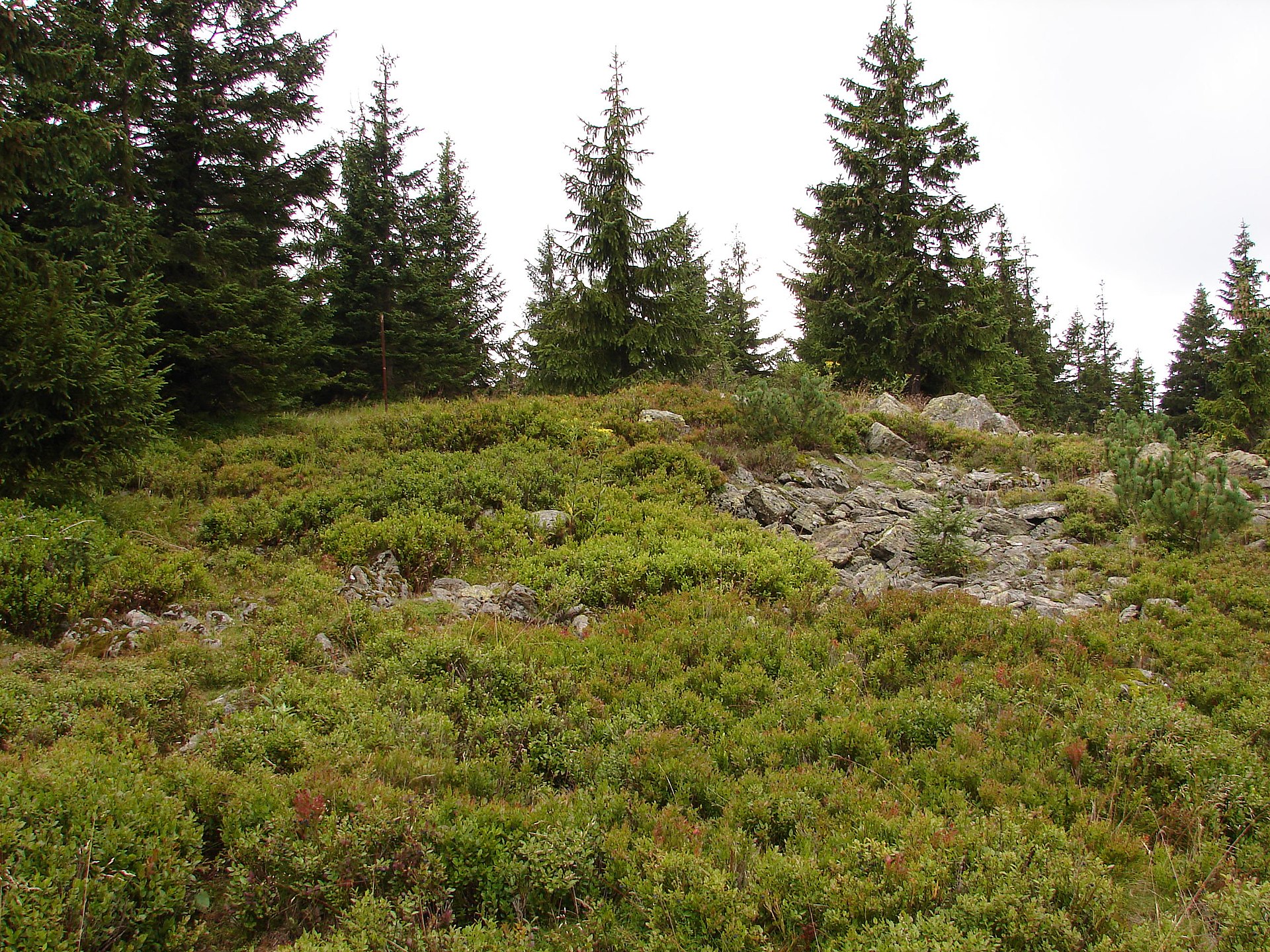
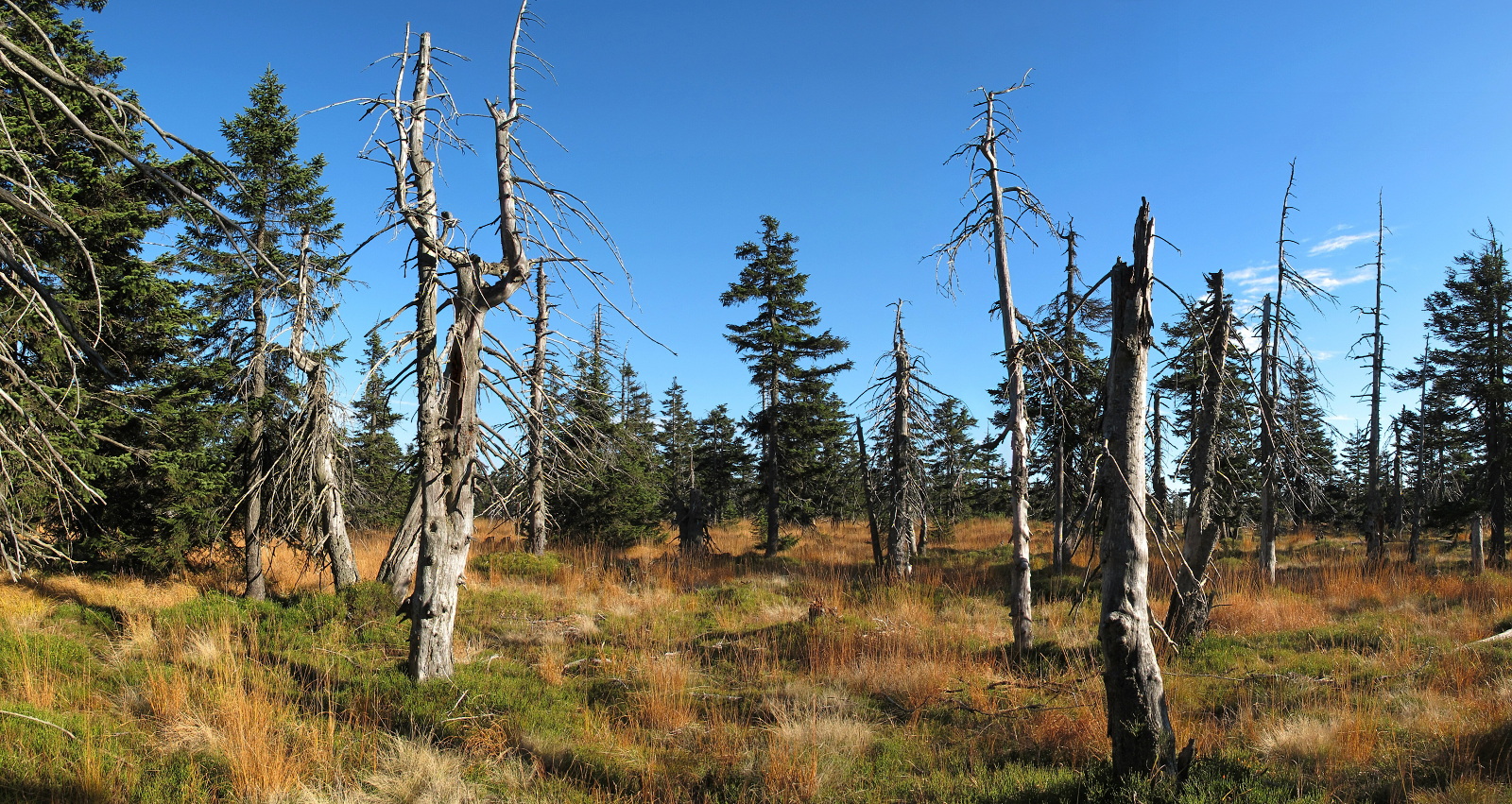
The main summit is covered in dense spruce forest, broken here and there by small clearings where bilberries grow in summer. A geodetic survey point marks the top — one of the few visible signs of human presence in the area. The tree cover means views from the main summit itself are limited.
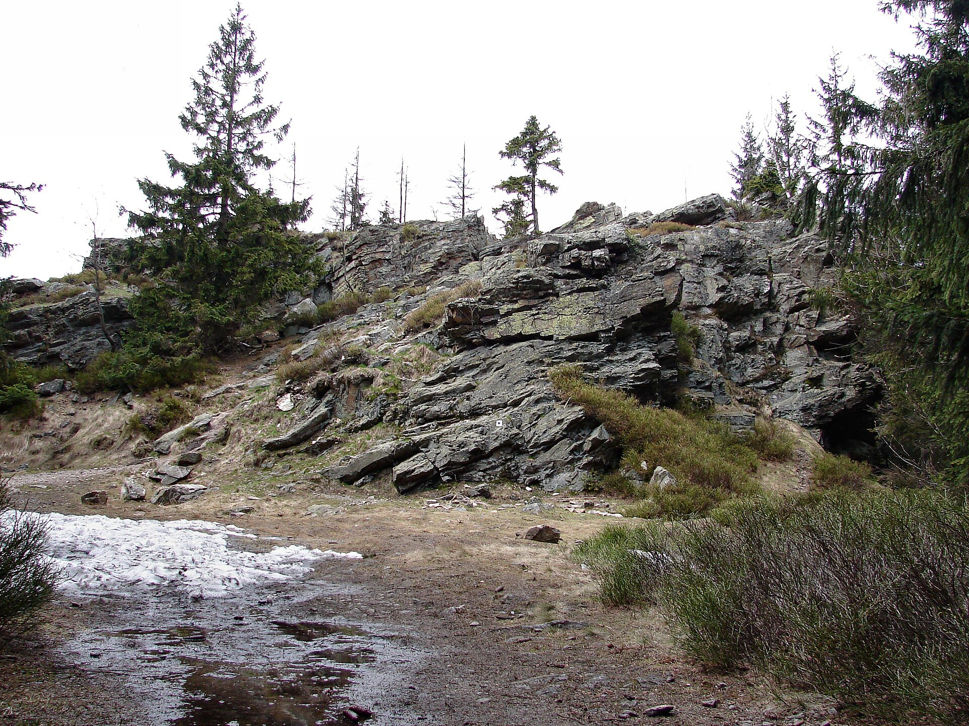
The more rewarding stop is the secondary peak, Plešivec V (1,196 m), about 400 meters east of the main summit. It features rock outcrops, and gaps in the forest canopy open up partial views of the surrounding mountains. If your goal is more than just ticking off an elevation, this is the point worth aiming for.
When should you visit?
Summer and early autumn are the best times for an unmarked route like this, when the forest paths are dry and the bilberry clearings are at their best. In winter and early spring, snow cover and the absence of a beaten path make the terrain considerably harder to navigate, raising the risk of losing your bearings.
Why visit Plešivec?
Plešivec isn't a postcard peak — its appeal lies in the solitude and raw, forested character rarely found in the more heavily trafficked parts of the Krkonoše range. For hikers who have already covered the region's headline summits and are looking for something less obvious, it's a natural extension of the ridge route connecting it to Lysá hora and Kotel.
Frequently asked questions
Is there a marked trail to Plešivec? No. The summit has no official marked trail. It's reached via the ridge route passing through neighboring peaks, with the final stretch covered off-trail.
How high is Plešivec? The main summit stands at 1,210 m. A secondary summit, Plešivec V, reaches 1,196 m.
How far is it from Harrachov? The peak lies about 4 km southeast of Harrachov, directly adjacent to Lysá hora and Kotel.
Are there views from the top? The main summit is forested, so views are limited. The nearby Plešivec V peak offers better, though still partial, views thanks to its rock outcrops and breaks in the tree cover.
Nearby places

Earn badges for the places you visit
Download NextOnTrip, discover new places and check off your trails.